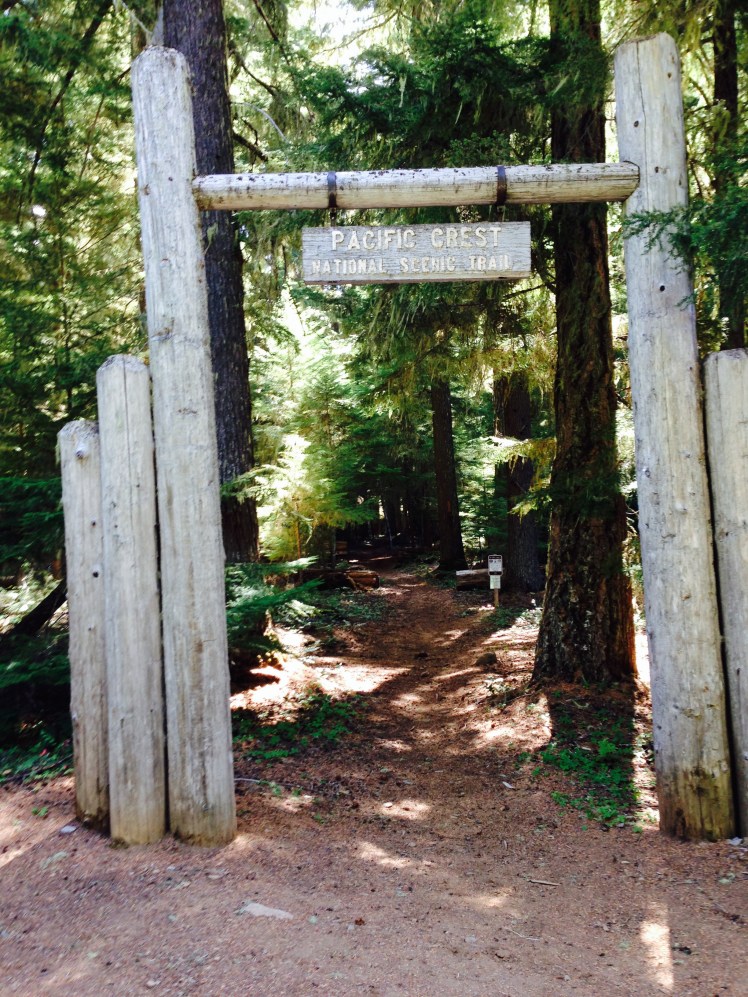
CHAPTER 13 (Elk Lake Resort mile 1951.9 to Bridge of the Gods mile 2155)
LESSON LEARNED: Hitting a wall at 2000 miles
Day 138, Saturday, August 16
When CatDog made the offer to drive me back to Elk Lake Resort, I happily accepted guessing it could be an arduous hitch from Bend.
Saturday morning was clear and sunny, not yet hot. Fully rested, I enjoyed the scenery on the trip back to Elk Lake. It was a weekend morning. Many individuals along the road were actively enjoying the outdoors. We passed groups of bikers dressed in colorful biking attire and men with fishing poles over their shoulders headed to a favorite fishing hole. I thought with envy, they were returning to their comfortable homes tonight. It was becoming weary to set up camp each night and crawl into the small tent only to take it down again in the morning.
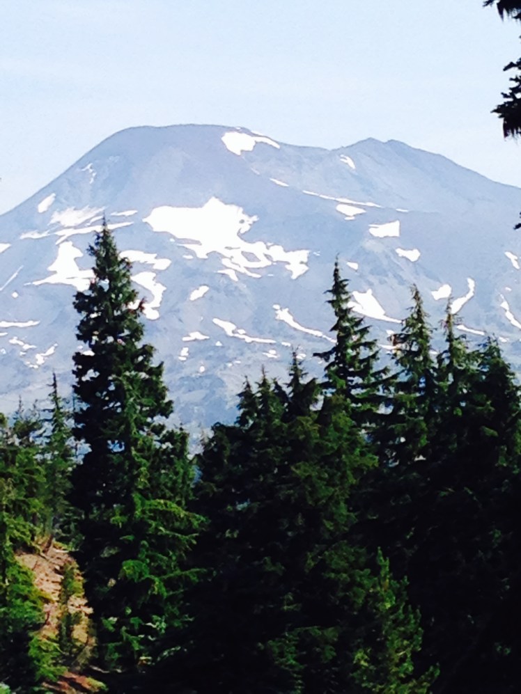
I said goodbye to CatDog at the trailhead out of Elk Lake and started the climbing uphill on a bright sunny Saturday morning. At intervals, I caught a glimpse of the dollops of snow on the South Sister through openings in the forest.
By text message Enduro offered to hike in from Mackenzie Pass, camp overnight with me, and hike back out on Sunday as his weekend hiking excursion. This news brightened my morning and quickened my steps. I looked forward to seeing Enduro again.
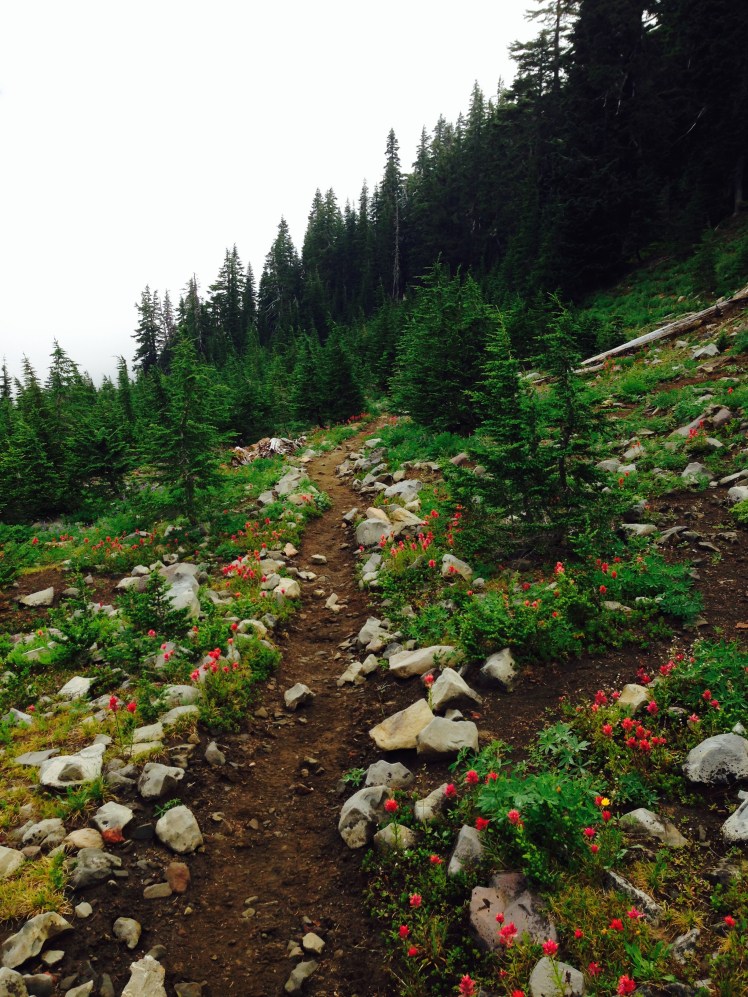
Passing along a series of small lakes the trail went up and down without significant changes in altitude, staying in the 6000’ to 7000’ passing by the Rock Mesa at the base of the mountain. During the first part of the day, I had the trail to myself.
By afternoon I began to see other thru-hikers on the trail. By mid-afternoon, I was running into weekend and day hikers. Day hikers are noisy.
It was late in the day when I met Enduro on the trail. He hiked in with beers on ice and an apple, hiker nirvana. I immediately sat on the ground at the trail’s edge to enjoy the bounty. I munched on the apple between refreshing gulps of ice cold beer.
We were seated at the edge of the trail when The Animal hiked by and stopped to talk with Enduro. I avoided participating in their conversation while continuing to eat and drink. In Washington, I was to become better acquainted with The Animal.
We hiked through the Obsidian Limited Entry Area, a place of obsidian cliffs, lava flows, open meadows knee-deep in wildflowers, clear streams, and a few small waterfalls. After crossing the northern border, we had difficulty finding a place to make camp. At mile 1980 we saw a little knoll above the trail. There was enough room for one tent on top. Enduro pitched his tent just where the hill sloped downward. We could hear neighbors in the distance, but I could not see any other campers. I drove my tent stakes in with a piece of obsidian.
During the night several hikers passed bathing our area with light as they checked out possible camp areas with their headlamps. Evidently, we were not the only hikers having difficulty finding a suitable place to camp. We were lucky to have already claimed this space.
Day 139, Sunday, August 17
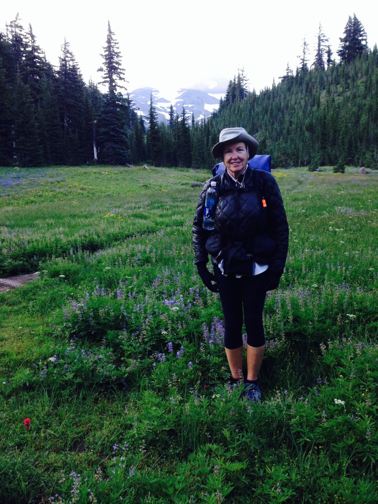
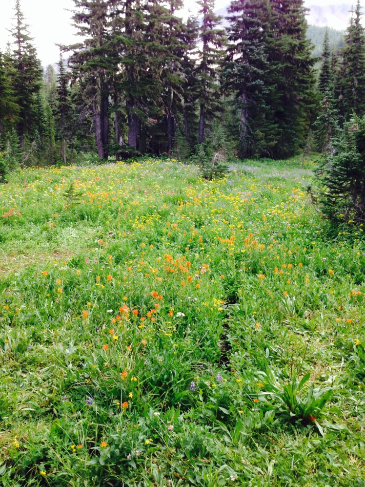
In the morning Enduro and I paused in a beautiful wildflower-strewn meadow to take photos. It was a lovely morning surrounded by beauty.
The last several miles of hiking crossed barren rocky lava fields with no greenery in sight. Before noon we came to Mackenzie Pass (mile 1989.5) where Enduro had parked his car.
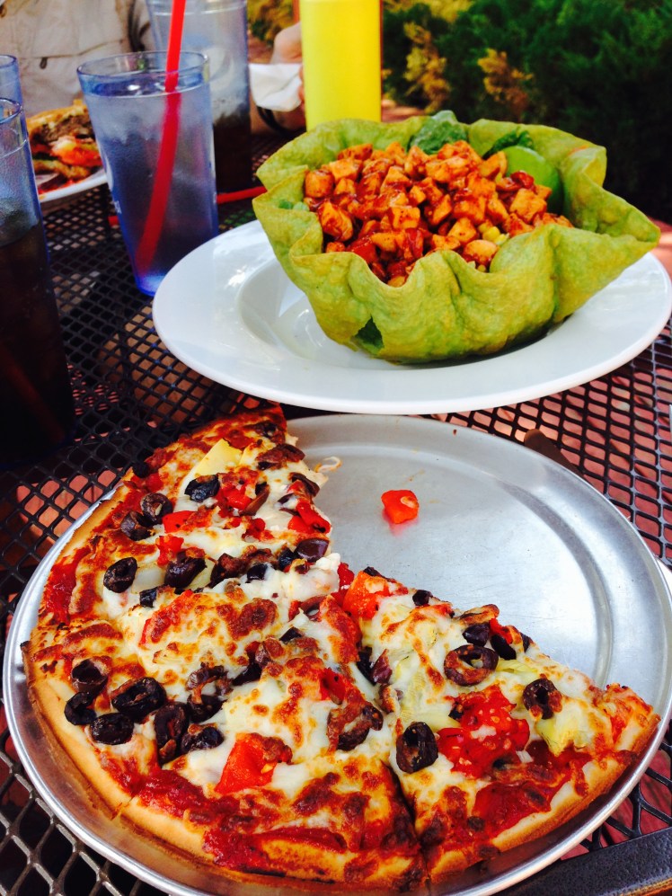
From Mackenzie Pass, Enduro and I drove into Sisters for lunch. Not wanting to offend the other diners in our smelly trail clothes, we chose a table on the patio of a local pizza place. To the astonishment of the young waitress, I ordered two lunches, a gluten-free pizza and a chicken taco salad and promptly consumed both.
When Enduro dropped me back to the Mackenzie Pass, I still had ten miles of lava rock to hike through. I wanted to make it to the Big Lake Youth Camp before nightfall.
It was not as fast going as I had hoped. In the late afternoon, I got sick. Perhaps the pizza had not been gluten-free after all or I had accidentally eaten some of the tortilla shell the salad was served in, or I had simply eaten too much. It was necessary to leave the trail frequently.
As I hiked along the edge of Mount Washington, my biggest concern was where I could get far enough off the trail and not be seen, when I met an oncoming hiker. He was clean-shaven, carrying a small pack, hiking at a fast pace. I recognized at once it was Scott Williamson, the famous yoyo hiker (start at Mexico, get to Canada, return to Mexico in one trip). He has made this type of yoyo trip at least six times. This year he was attempting to set the record for the fastest unassisted sobo hike. I did not dare stop him and just said “Hi” as we passed.
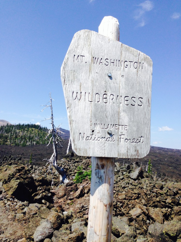
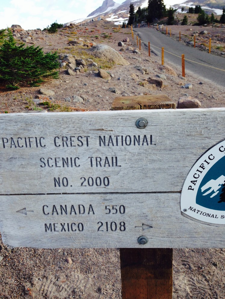
A mile out of Big Lake Youth Camp, I passed the 2000 miles sign someone had placed just at the edge of the trail.
It was around four o’clock when I arrived at Big Lake Youth Camp, owned and operated by the Oregon Conference of the Seventh Day Adventist church on the shores of Big Lake. I checked in at the office and was given the drill of where hikers were allowed to camp (not on their property for insurance purposes), the location of the laundry facilities, and the location of the showers. I was then escorted to the dining hall where pizza was available for hikers. Several of other hikers in the hall were speaking of seeing Scott Williamson confirming I had been correct in my recognition.
I made camp down by the lake just before the sandy beach at the edge of the forest.
Day 140, Monday, August 18
The services offered to hikers by the Big Lake Youth Camp were on a donation basis. I enjoyed a breakfast of scrambled eggs made especially for me and talked with one of the permanent staff about the camp. Their own camp sessions had ended for the summer. The camp was currently being rented by a community group. He said earlier there had been a wildfire in the Mount Jefferson area and the camp had taken several busloads of thru-hikers out around the closed burned areas to the PCT north of Mount Jefferson.
I made a generous donation, took an apple and an orange, slung my backpack over my shoulders and hiked out. On the trail, I caught a glimpse of 45 just ahead but soon lost sight of him.
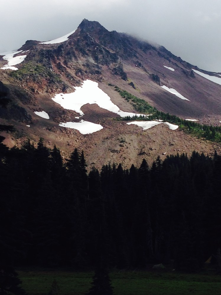
The morning was spent climbing up to the base of Three Finger Jack. At the base, the trail swung left, circled to the back side and down a series of steep switchbacks.
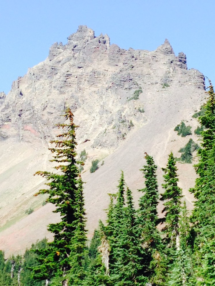
Hiking up the front of Three Finger Jack
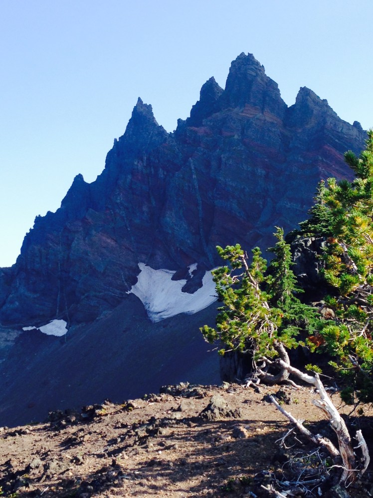
The backside of Three Finger Jack
In the afternoon, the sky clouded over as I made my way on top of a series of ridges. I had hiked up out of burned areas and into an alpine area high along a flat summit of ridges. A light rain began to fall intermittently as clouds moved in.
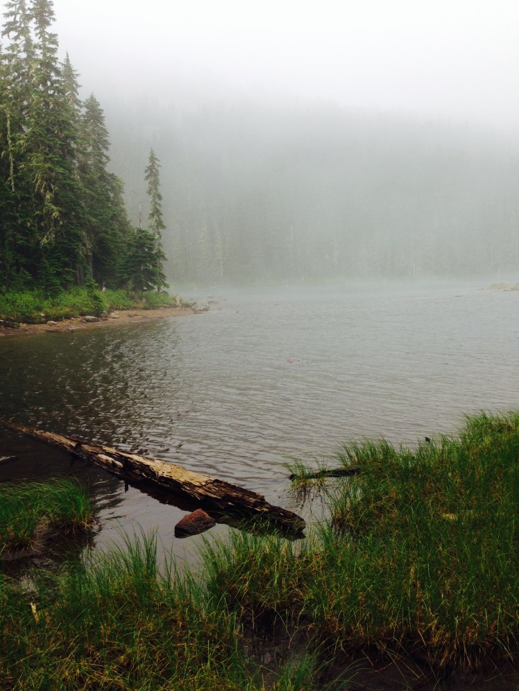
Except for seeing 45 ahead on the trail when I started, I saw no other hikers. At dusk, I camped at Rock Pile Lake. As the evening wore on, two other hikers came in and made camp. I had not previously met either hiker. We prepared and ate our dinners seated on the bank of the lake while watching a herd of deer walk slowly along the edge of the lake grazing.
Day 141, Tuesday, August 19
In the morning, I caught sight of a tent on the far side of the lake and saw 45 busy breaking camp. I waved and hiked on.
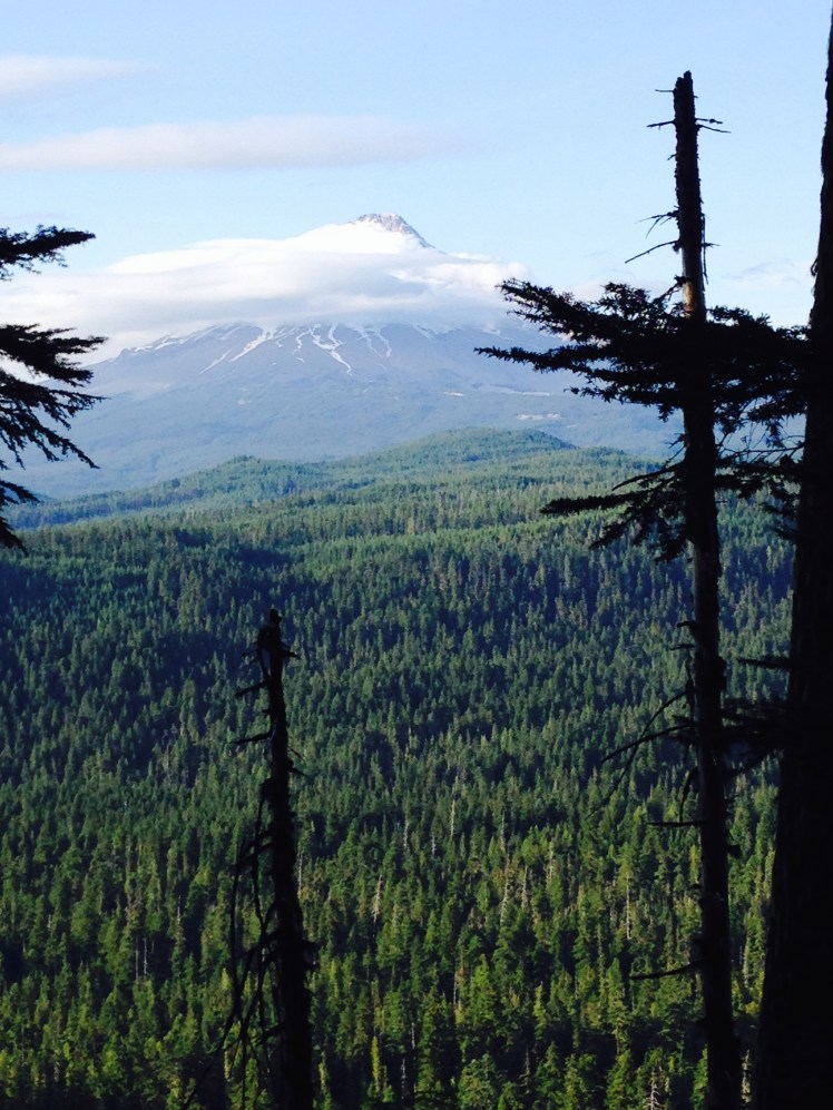
At the start of the day, I hiked along a series of ridges in fog. Occasionally, I could see Mount Jefferson rising above the early morning clouds.
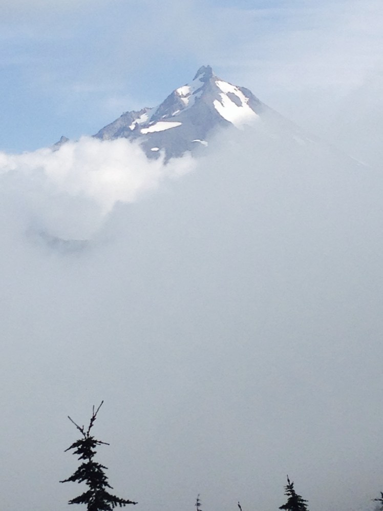
Looking ahead to Mt. Jefferson
Late in the morning, Milk Creek proved to be a difficult crossing. The water was deep and violent as the water tumbled down the steep mountainside. I could see no easy crossing either up the mountain or down among the rocks below. The large boulders in the water were too high for me to jump up on top of with my backpack as I might if I were a few years younger. I had no choice but to ford the creek. Bracing myself against the onrush of boiling water I inched myself across hanging on to the larger rocks. Gaining the far side of the creek I had to crawl out of the steep embankment on my hands and knees. I was happy no one was around to see my awkward struggle.
Shortly after I stopped for lunch and spreading out my tent over the surrounding bushes to allow the sun to dry the night’s condensation, 45 hiked by. We discussed how far we were planning to go for the day. I was planning to camp in Jefferson Park on the last ridge. He was headed for Breitenbush Campground.
Hiking over the flanks of Mount Jefferson offered extensive views of the mountain. Passing through Jefferson Park alpine meadows was magnificent. The flat basin, in a protected bowl, is a vast plateau of subalpine lakes and streams. The mystical earthly paradise made for a pleasant afternoon hike among lush coverings of heather, red paintbrush, and lupine.
After passing through Jefferson Park Meadows, there was a climb out and over a high ridge. The map indicated a campsite at the ridge top, and I looked forward to stopping for the day.
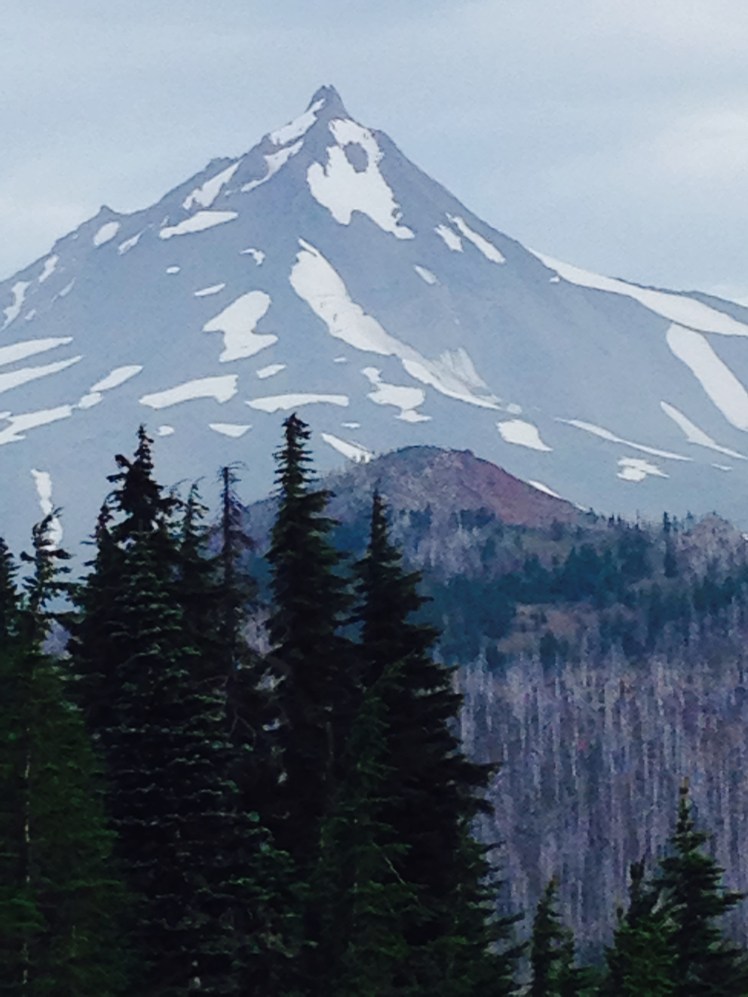
Looking back toward Mt. Jefferson from the ridge
I made the steep climb to the top of the ridge only to discover a fierce bone-chilling wind blowing across the top. This was not a good option for camping. Looking down off the ridge, my heart sank. Ahead the trail was buried beneath snow. I hoped I had seen the last of the snow in the Sierras.
The next campground on the mapped was Breitenbush Camp Ground. If I was going to make it before dark, I must push hard. I did not have time to suit up for the cold wind blowing off the snow. Plunging down, one snowfield after another, jumping, sliding, rushing along I somehow staying upright as I made giant leaps.
Once below the snow, I began to see day hikers. I met a father and son carrying in soda to give to thru-hikers. The father had hiked the PCT in 2013 and was paying it forward. I took a can of root beer, had a few fast swigs and continued downward carrying the can with me as I hurried along.
I arrived at Breitenbush (mile 2047) right behind 45. We shared a flat campsite in the forward part of the campground.
“How’d you get your trail name?” I asked assuming it had something to do with a handgun.
“On the AT when I was asked how close we were to such and such point, I replied 45 minutes to each and every inquiry.” He smiled and laughed. “Eventually my hiking buddies started calling me 45.”
It was humorous 45 had acquired this scary trail name earned in such an innocuous manner.
That evening after dinner, 45 walked over to the two guys camped in an RV across the road and yogied a ride out in the morning. He was headed to Portland to visit friends for a few days.
Day 142, Wednesday, August 20
I had been hiking about thirty minutes when the rain started. The storm lasted a short time with high winds driving the rain sidewards. Luckily it cleared quickly.
As the morning wore on I passed a series of small picturesque lakes as the cloud cover gradually lifted.
By the time I reached the Olallie Lake Store the sun peaked out of the clouds.
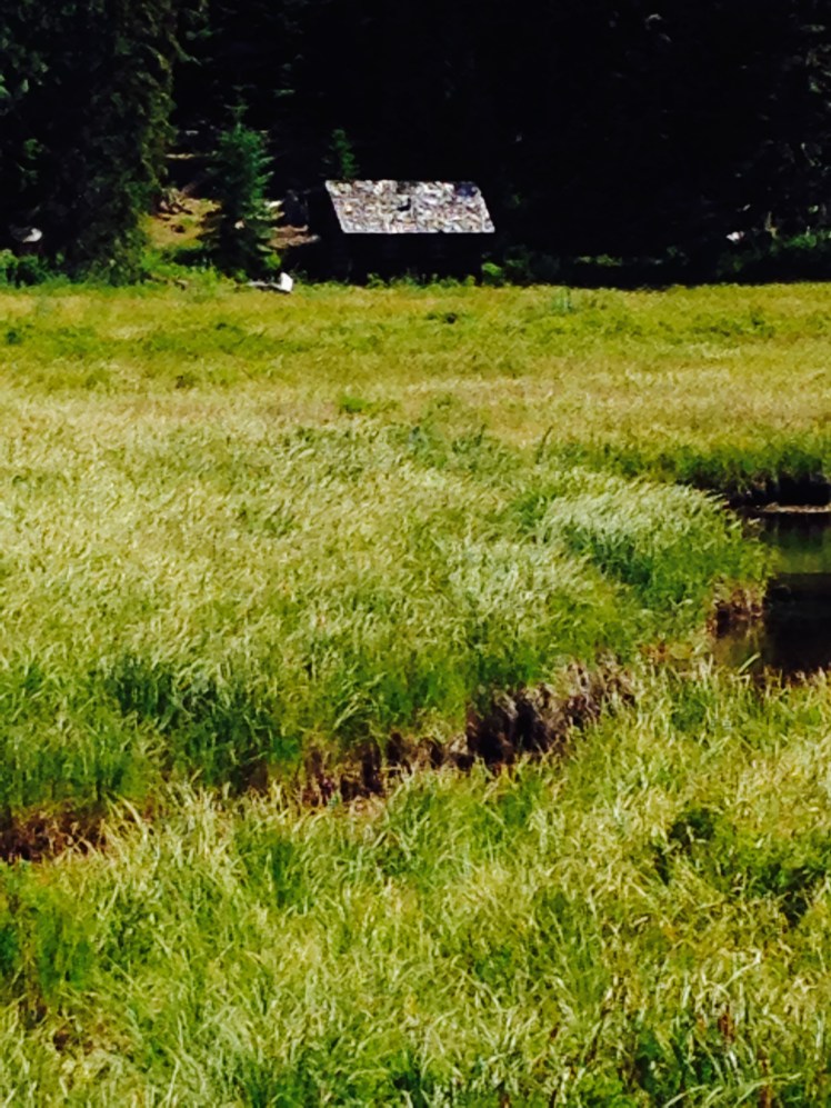
I stopped to purchased hot coffee and sat on the porch enjoying the view. The lake, which does not allow motorboats, was peaceful. Green rowboats lined both sides of the docks below. It was a tranquil setting.
Shortly after Olallie Lake the trail crossed into the Warm Springs Indian Reservation. Since timber is a source of revenue for the reservation, I saw frequent logged areas along the trail.
At intervals, I stopped to pick and eat huckleberries in the clearings. The ripening berries were delicious. I had gone off trail a few yards to glean berries when a hiker came by. He was a section hiker going as far as Timberline Lodge. He teased me about stopping to eat the huckleberries and hiked on. I watched him disappear up the trail in his heavy hiking boots. He was built broad and sturdy, but he struggled under the weight of his huge pack.
I leapfrogged this section hiker, Timothy*, several times during the day. Once he discovered I was a thru-hiker, he tried to keep up with me and even outpace me in a competitive way which is not difficult as my pace is slow.
At mile 2072 I stopped to obtain water from a spring downhill off the trail. The trail wound down through dense underbrush until it ended at a small pool under a stand of trees. The spring was a little slimy pool of water, not a flowing spring. I decided to pass on this water source.
Just above the spring was a level site in a cluster of fir trees out of view of the trail above. There were three small tent areas framed by fallen logs. I decided to stay. While I was pitching my tent, a female section hiker came down from the trail and camped by me. She put up a hammock between two trees.
She humorously told me about her life and her hike as we each made and ate our dinners. We were cleaning up, as Timothy hiked in and camped in the last remaining space. Later a couple of hikers came down to check out the area and had to head back to the trail since we three had taken all the available spaces.
During the night, I was awakened by the loud sound of crashing in the undergrowth near my tent. I lifted my head to listen to the noisy racket.
“A bear,” I concluded, listening to cracking brush limbs as the bear crashed by.
I was soon fast asleep again.
Day 143, Thursday, August 21
In the morning, I found a young man camped in the middle of the PCT trail. His tent was without a fly, and he was seated upright as I passed around him.
“Did you see the bear last night?” He inquired.
“No, I just heard it crash through our campsite. Are you okay?” He looked frazzled and rubbed his eyes with the back of his hands.
“The bear came up to my tent. The first time, I scared it off with my headlamp. But it came back again. I had to use my headlight, my poles and noise to scare him off.” He stretched and yawned and looked as if he had not slept. It must have been a terrifying experience, I thought.
It was an easy hiking day. At noon I left the trail at Hwy 42 and walked left on the paved road passing a horse camp. To the left of the intersection was a small store with candy and soda. I bought a coke and a Rolo Carmel Candy roll to augment my meagre ration of Tuna and sat down in the shade at the picnic table in front of the store. I felt lucky I had gone to investigate what might be around the corner. The best part of stopping was the garbage can nearby for discarding my “carry out” waste.
At Hwy 42
Passing a meadow by Hwy 42
Back on the trail, I was overtaken by ET and Poison as they raced passed me.
“Can’t stop…..doing a 60 miler competition……been hiking since midnight.” I smiled at their energy and wished them luck.
The trail skirted the edge of Timothy Lake for four miles. Campers had boated in and made camps in the sandy coves along the lake. Children were swimming and playing in the water. The trail wove in and around the tall trees and I looked down from the path enjoying the view of the summer fun on the lake below.
After leaving the edge of Timothy Lake the trail crossed a wooden bridge. I saw a cut off to Little Crater Lake Geological Area and wished I had time to investigate.
The trail remained remarkably flat most of the day.
Looking ahead to Mt. Hood
I made it to Hwy 26 at mile 2096 just as the sun was going down. There was a small camping spot next to the highway, but my map also indicated a campground a little over a half mile off trail. I decided it would take the safer option and headed down the road to the campground.
As I walked into the campground loop, looking around for a place to check in, I was hailed by Timothy, the section hiker. I was surprised he had made it this far on the trail with his heavy pack and ahead of me, no less. It had been a 24-mile day. He invited me to share the site.
We sat at the picnic table and made our dinners. Timothy had many questions about thru-hiking gear and wanted very much to learn how to go lightweight. He wanted to know about each piece of my equipment, why I chose the item and if I was satisfied with the function.
When I offered to pay for my half of the campsite cost, he declined my money saying the information about lightweight gear was payment enough. We talked late into the night. I went to bed while he remained seated at the campfire on a three-legged camp stool he carried in his backpack.
Day 144, Friday, August 22
While in Bend, I had called ahead to Timberline Lodge to make a room reservation for two nights. It had been a lucky precaution as I was arriving at Timberline Lodge on the day of the start of the Hood To Coast Relay Race. The race starting point, Timberline, was bustling.
It was an uphill climb all the way to Timberline. The trail itself was covered in thick grainy sand. I struggled. Several miles out the bullhorns blared from the race site starting point adding to the unpleasantness of the climb.
I hit a mental wall on the climb to Timberline.

Timothy and I leapfrogged, and then he was ahead of me as I finally made it to the top and turned to cross over to the lodge area. In the chaos surrounding the lodge, I lost sight of Timothy and the opportunity to say goodbye.
Timberline Lodge (mile 2107) is a place of splendid beauty. The lodge is situated on the south slope of Mt. Hood at the 5,960’ level amid clusters of alpine flowers and trees. The impressive and historic lodge was built by the WPA (Work Progress Administration) in the 1930s during the great depression. Throughout the years the lodge retained the original grandeur.
Even in my depleted mental state, I enjoyed the rustic beauty of the lodge and surrounding alpine wild.
I had hiked over 2000 miles and was in top physical condition. Yet, I was mentally exhausted. I felt it to my core.
My room had lovely divided light windows, and from the large windows, I had a full view of Mount Hood above. I chose the bed placed under the windows and dropped my pack on the other bed.
I went in search of Timberline’s famous brunch.
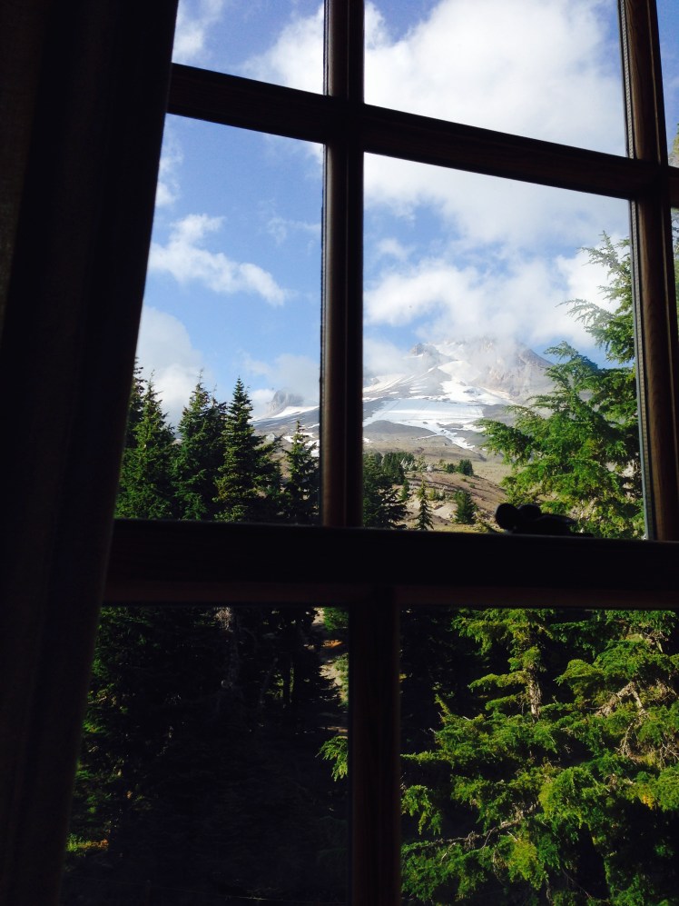
View from my window
Timberline is famously known among hikers for having the best food on the trail. I ate and slept.
Day 145, Saturday, August 23
It was a wonderful, restful Zero day at Timberline Lodge. I saw and spoke with Pakabear and several other hikers as they came into the lodge to eat. Most of the hikers were camped in the nearby trees farther up the trail as there were no rooms available for those without reservations.
The hikers and well-dressed hotel guests mixed together throughout the hotel lobby and restaurants, both groups equally welcome and both groups surprisingly fit in well together.
I sampled each of the restaurants and found the food delightful. The Cascade Dining Room had the buffet famous among the hikers. It was an excellent place to enjoy breakfast. The Ram’s Head Bar circled around on the top floor balcony with views in every direction served casual food. The Blue Ox Bar tucked away in the basement serving brew and pizza where I found most of the hikers hanging out. I ordered a gluten-free pizza with chicken and bacon topped with fresh arugula. The portion I could not eat, I took back to my room to finish later.
It was wonderful to spend a much needed zero day it in this beautiful and restful lodge.
Day 146, Sunday, August 24
In my resupply box at Timberline was a waterproof hat I planned to wear for the expected rain in Washington State. It was good timing as my hiking hat had become worn in places and now had fraying chin straps. The new hiking pants I had sent in my resupply box months earlier were too big to wear and had to be discarded.
I got an early start and hiked all day and still Mt. Hood loomed above each time I looked back. I felt I was never to be out of sight of the mountain. A large wash area was problematic for navigating across. It took several false starts to finally find the correct trail and locate the exit from the wash back onto the PCT as there were paths leading in several directions.
Leaving Timberline lodge back on the trail after a zero

Hiking around Mt. Hood
From Timberline, I planned to arrive at the Bridge of the Gods in two 25-mile days. I walked until dark and made camp in a small flat area next to the trail on top of a windy ridge. I had a view in both directions in the bright moonlight. According to my GPS, I was at mile 2132. It was a lonely camp. There were many hikers at Timberline, yet I had seen no one on the trail since leaving the lodge. I settled in for a cold, clear, windy night.
Day 147, Monday, August 25
In the morning I hiked for a couple of hours before stopping for breakfast. I found a large round rock in the sun with a view forward to Mt. Adams and backward to Mt. Hood. I sat high on the stones, my knees tucked up under my chin and enjoyed the view while I drank coffee and ate a breakfast bar.
Afterward, I crossed a high point along the trail and saw Mt. Rainier, Mt. Adams, and Mt. St. Helens all in one breathtaking panoramic view. It was exciting to be looking ahead to Washington State.
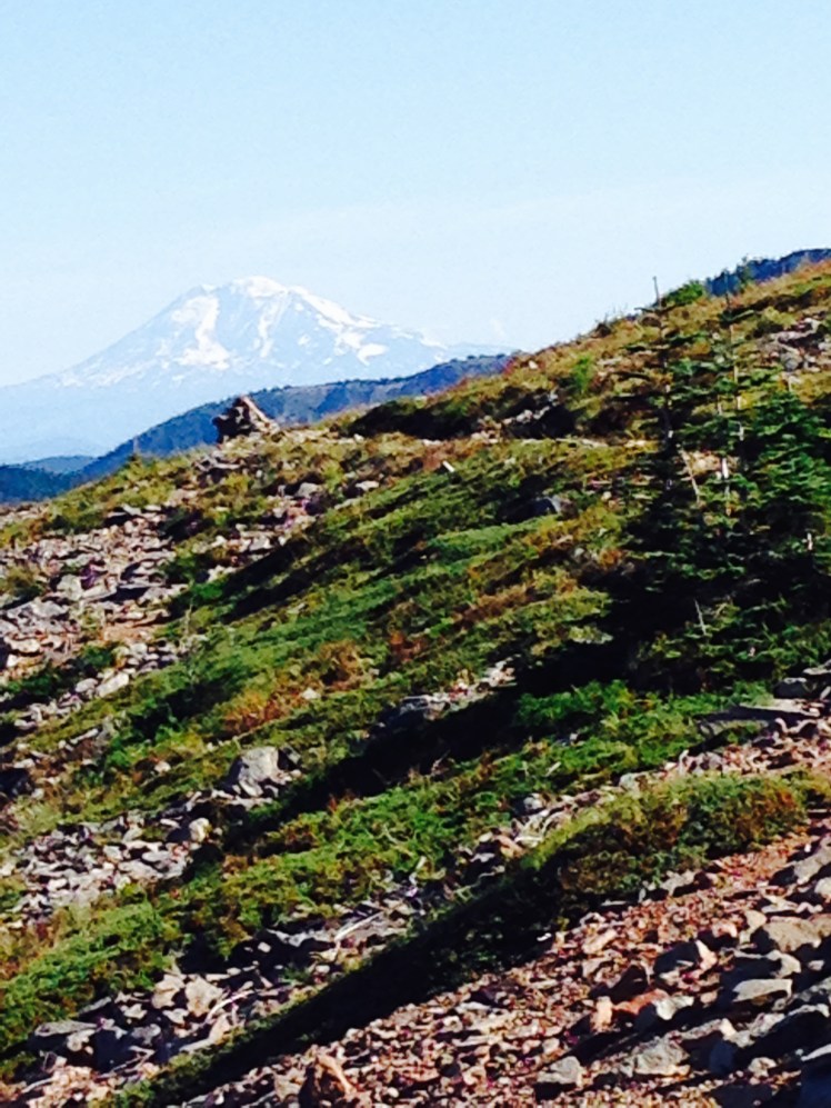
Looking ahead to Washington State.
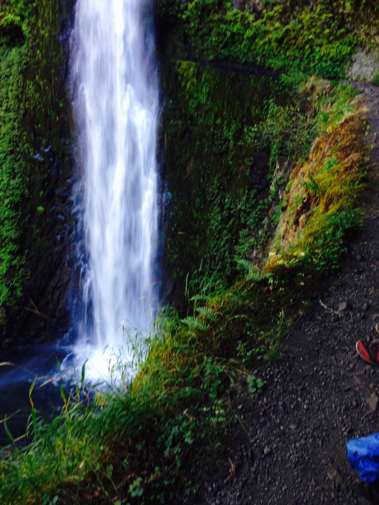
I had made arrangements to meet a family friend at Cascade Locks. Warwick and his wife, Candy, were planning to hike in and meet me on the Eagle Creek Alternate route. Although, not the official PCT, this is the route most PCT hikers choose to take for the natural beauty of the trail and the novelty of hiking behind a waterfall.
The trail along Eagle Creek cuts into the rock sides. At several stretches, chains are installed into the rock wall for gripping as you make your way along the cliff edges. The trail circles in behind the magical Funnel Falls where hikers are treated to fine mist while passing behind the falling water. After Funnel Falls I began to meet runners. Once past Punchbowl falls there were also many day hikers.
I came out from the trail into the Eagle Creek parking lot at about four in the afternoon. I looked around for the restroom just as Warwick and Candy drove up. I was early.
“You’ll have to hike it another day.” I laughed as I slung my pack inside the back of their vehicle.
Candy said she was relieved to not be required to hike in. Warwick and Candy live on a gentlemen’s farm on the slopes of Mt. Hood just out of Hood River. When he retired, they had built a beautiful estate on the property with a large house, guesthouse and farm buildings.
Warwick and Candy took me to check in at the Columbia River Inn on the Oregon side at Cascade Locks. I showered quickly and dressed in my town clothes. Afterward, we drove across the Columbia River to the River Rock Restaurant at the Skamania Lodge and Golf Course on the Washington side of the river.
We sat outside and enjoyed an alfresco dinner with a view of the river beyond. We have known Warwick since our daughters were young. It was good hearing news of his two daughters.
As we walked back to their car, Warwick, a retired doctor, noticed my blackened toenails but politely said nothing. For me, it had been a welcome interlude back to my normal life.
