Hiking in Colorado

After completing sections of Colorado, I have decided to leave the CDT.  This hike had been planned with Ghost as I did not wish to hike alone.  After solo hiking the PCT, I never wanted to be alone for such an extended period of time again.  As much as I did not like continuing alone, I really did not like hitching on the busy highways of Colorado alone.

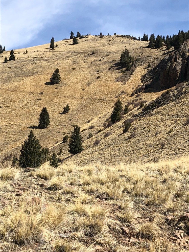
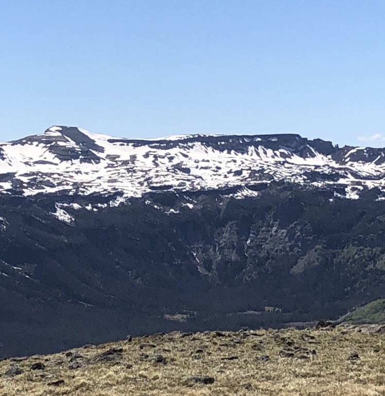
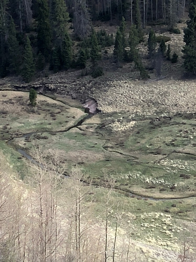
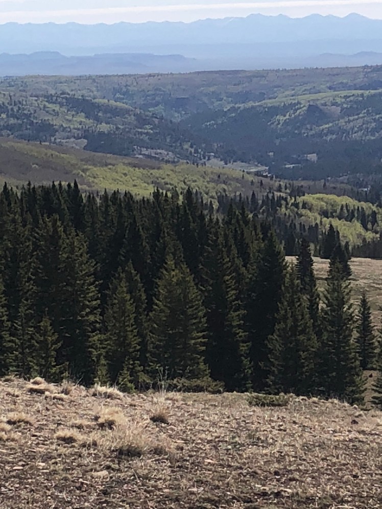
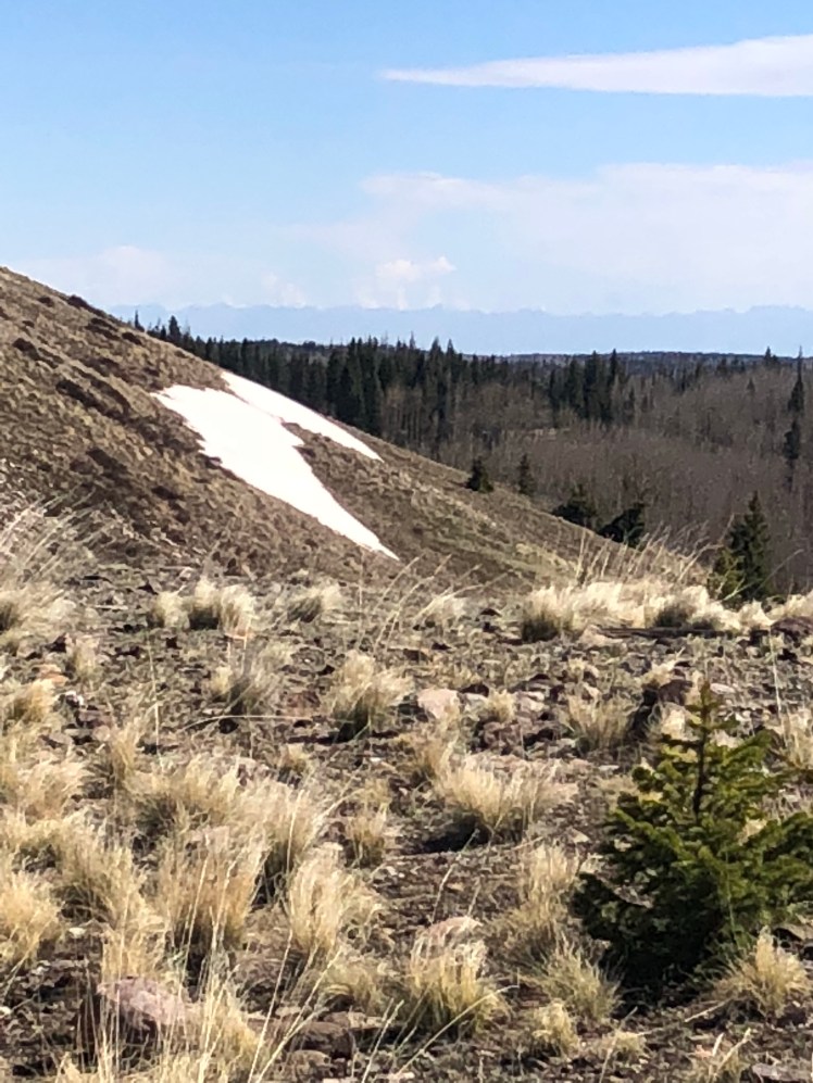
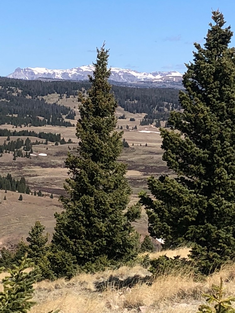
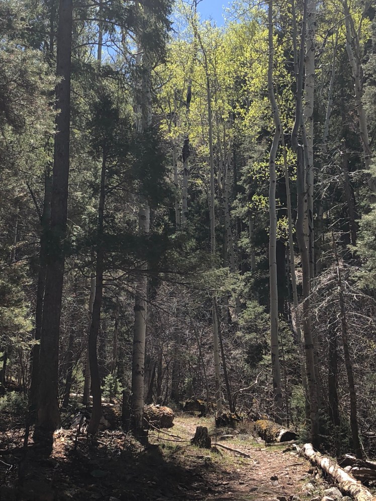
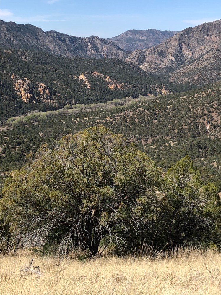
After the snowy San Juans, the trail (when it existed) was beautiful hiking.  Colorado is a state of fantastic scenery and the CDT is on top.

CDT 11: Cumbres Pass to Wolf Creek Pass

May 24 to May 27:

Mile 862

I took a few photos on the first day climbing to 12,000′.

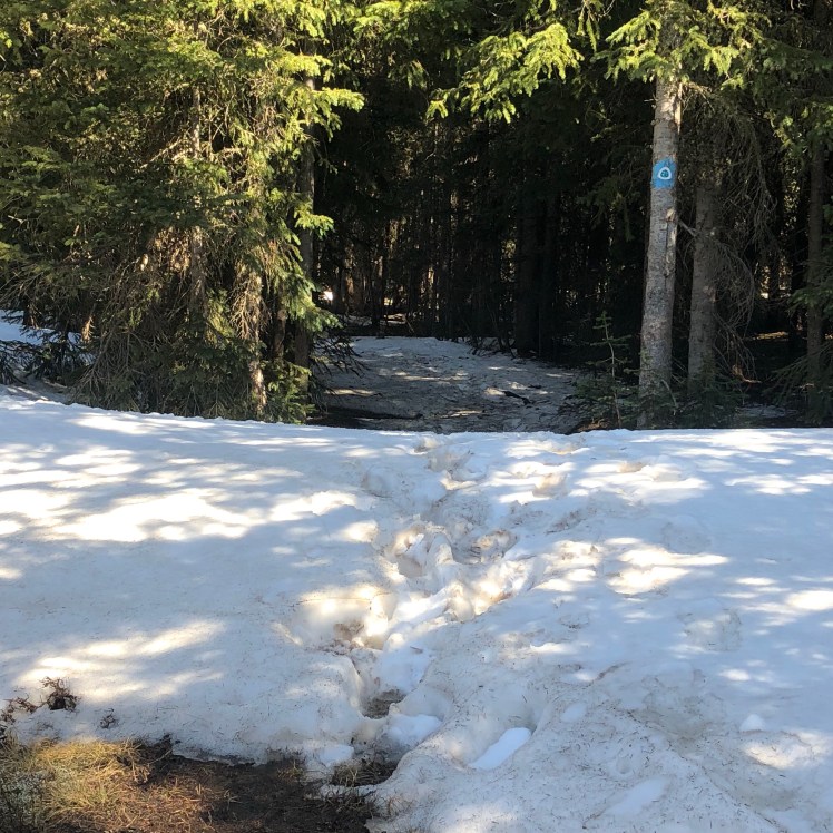
However by the second day I was too busy surviving to take photos. Photos of me postholing up to my thighs or with my head stuck in ice after falling forward losing my balance would be of no interest to anyone.

I am lucky to have not broken a leg.

One good note is I finally was able to glissade down a slope with my pack on.

My feet were either in water or snow 99% of the time. I was saved by sealskin socks.

I am currently in Pagosa Springs trying to forget the trail. It may require a few margaritas.

CDT 10: HWY 64 to Cumbres Pass, Colorado

May 13 to May 14

Mile 792

Sunday morning I hiked up from highway 64 where Ghost and I left the trail. The morning jeep trail soon turned into trail staying between 10,000′ to 11,000′ for two days.

Water was plentiful throughout the day.

Looking forward to Colorado I hiked quickly.

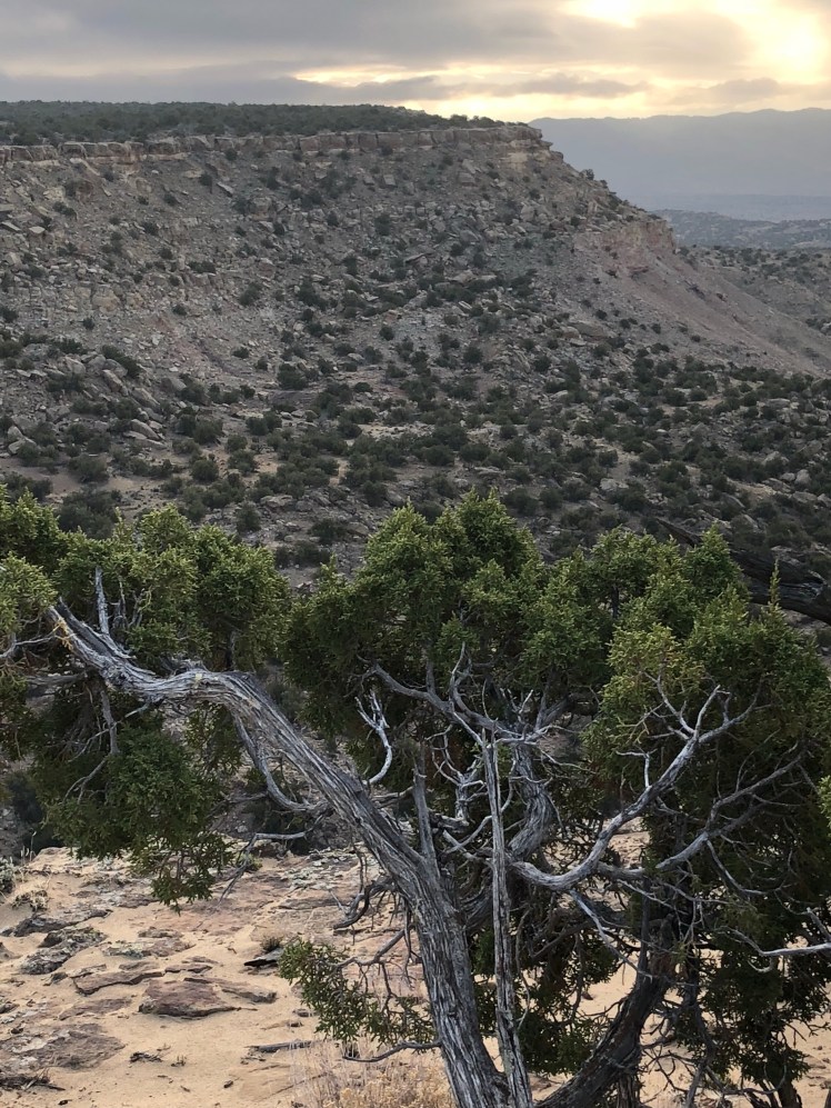
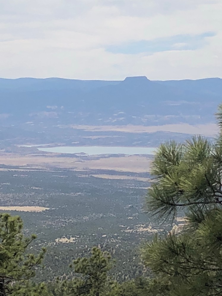
On the second day, hiking along ridgelines the view ahead was breathtaking.

The chilling wind whipped at 60 MPH making it difficult to move forward. I was happy to arrive at the border between New Mexico and Colorado.

The last 10 miles was daunting with downed trees and snow obscuring the trail. The trail, when located, was muddy and slippery and covered in elk dung.

Postholing through the snow up to my thighs was dangerous because I was uncertain if a downed tree with broken limbs might be hidden underneath.

Two smart water bottles fell from my pack without my notice.

I did not see any other hikers these two days.

At Cumbres Pass I hitched back to Chama.

I am too early to be hiking in Colorado and am ahead of schedule giving me the opportunity to take a week or so off trail. I could flip up to Montana or Wyoming as hikers normally would in any given year; however, these two states have had 190% of normal snow coverage this past winter and a late spring thaw.

New Mexico done. Looking forward to Colorado, Wyoming, and Montana.

CDT 9: Ghost Ranch to Highway 64

May 5 to May 11

Mile: 750

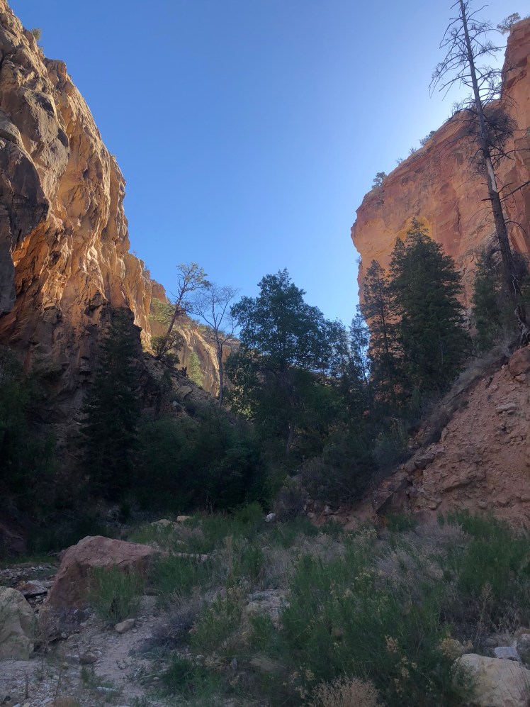
The morning hike up through box canyon was peaceful and relaxing until we missed our turn and rock scrambled up and back down the canyon.

Because of our late start we made it to the first water, about 16 miles.

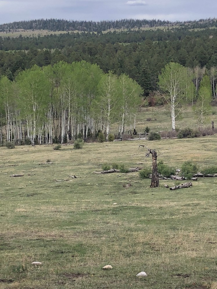
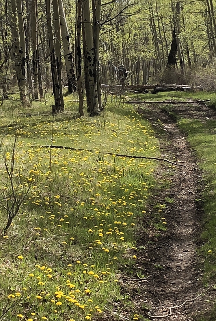
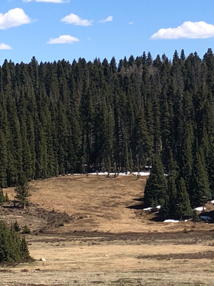
Above 9000 feet open grassy meadows with stands of quivering aspen were stunningly beautiful to walk through.

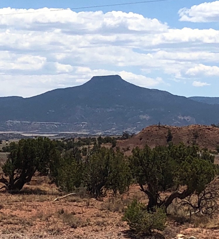
Looking back at Georgia O’Keeffe’s mountain:

After the water we camped on top of a grassy meadow with a view west.

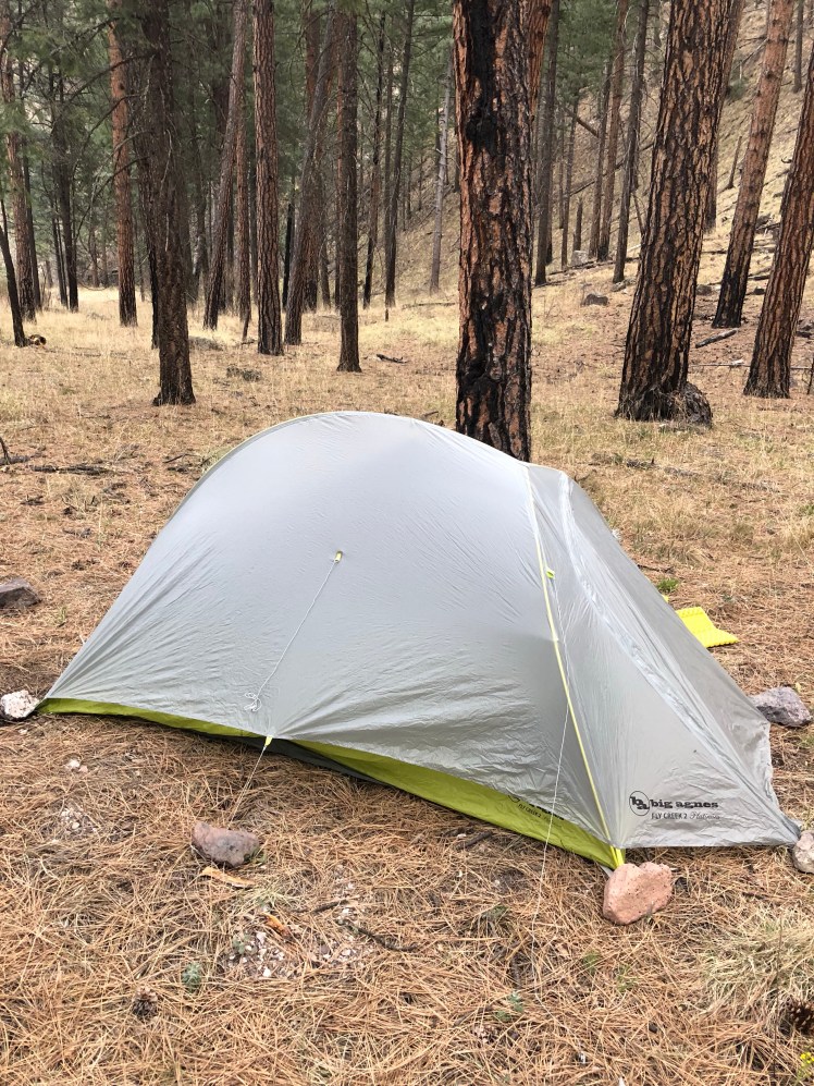
(Happy to now have my PCT tent which is warmer and built for heavier usage.)

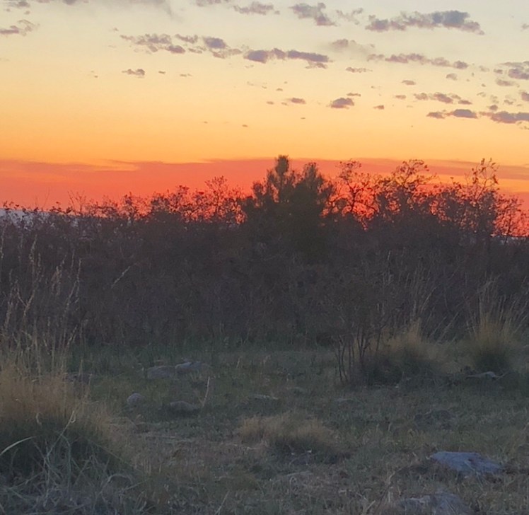
Sunrise from my tent door:

The second day started with more trail through aspens groves. Only later to turn into a massive road walk.

Later back on trail there was a unbelievable long stretch of fall down to negotiate. When we were unable to crawl up and over, down and under, or go around we threw our packs over and scrambled over.

Dodgy, who started the same day as we did was in a group of four hikers to leap frog us in the afternoon. It was good to see other hikers even for a few minutes.

On the third day out the morning hours were all on trail and I was beginning to feel it was a true thru hike. We covered 8 miles by mid morning.

We came to the Vallecitos river with a log across for a bridge. It was dicy. It took me two tries to cross over. Ghost decided to cross over in the water. On the first step into the rushing water she fell in and hurt her arm.

Unable to use her arm and fingers, I knew she needed medical attention. Reviewing our option the nearest out was highway 64 ahead. It was decided we would try to reach the highway 12 miles ahead before dark so she could hitch to Chama.

Another hiker, Fenway, came along and led our sprint. The three of us covered these 12 miles as quickly as possible. During this time, I realized Ghost was in shock and should not be left to hitch alone and decided I had best accompany her to Chama.

Little did we realize there is no medical facility in this little town.

This morning Ghost hitched to Pagosa Springs to seek medical attention. Her arm is badly broken.

Tomorrow I head back up to Highway 64 to resume my hike alone.

CDT 8: Cuba NM to Ghost Ranch

May 5 to May 7:

Day 34 to Day 36:

After a short paved road and dirt road walk, the San Pedro Wilderness area was a refreshing lush forest complete with plenty of gurgling streams and thick underbrush. It was a pleasure to be hiking a trail with grassy berms to rest upon.

After 10,000′ we ran into snow still covering portions of the trail from the recent snowstorm.

It was a warm cloudless day with a beautiful blue sky. I was thinking “days of Heaven”.

Everyday the CDT throws a curve just to remind us it is a brutal trail. The top of the mountains wide open meadows gave the impression of easy walking except under the grass stood three inches of water to slug through.

The next day was all on trail through tall pine forest ending with a climb onto Mesa Camino.

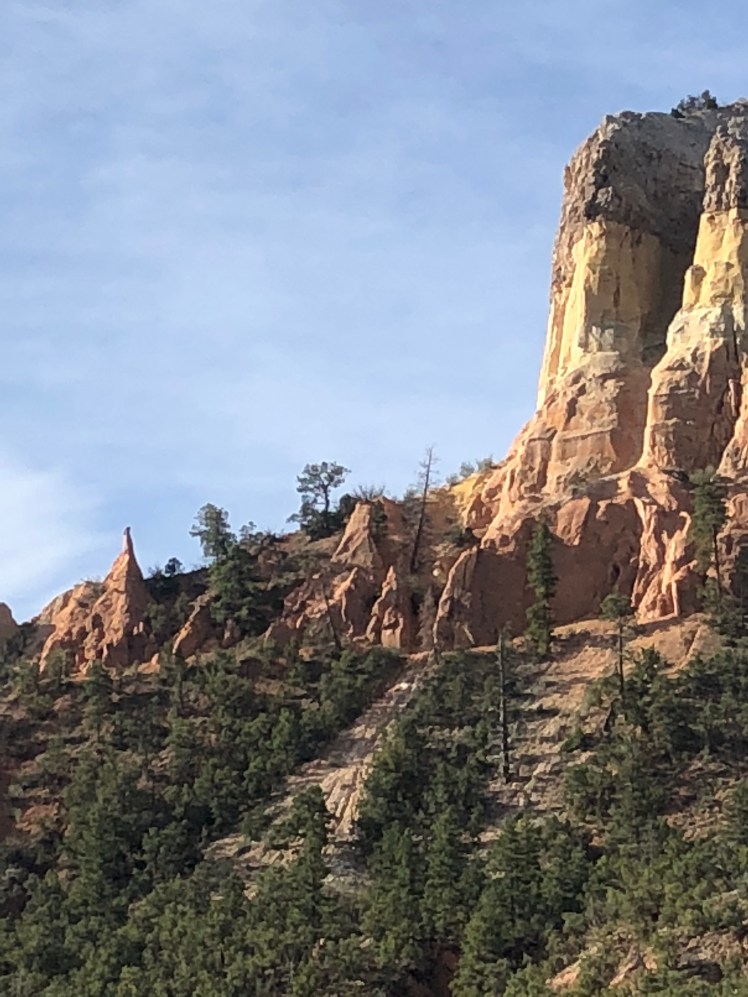
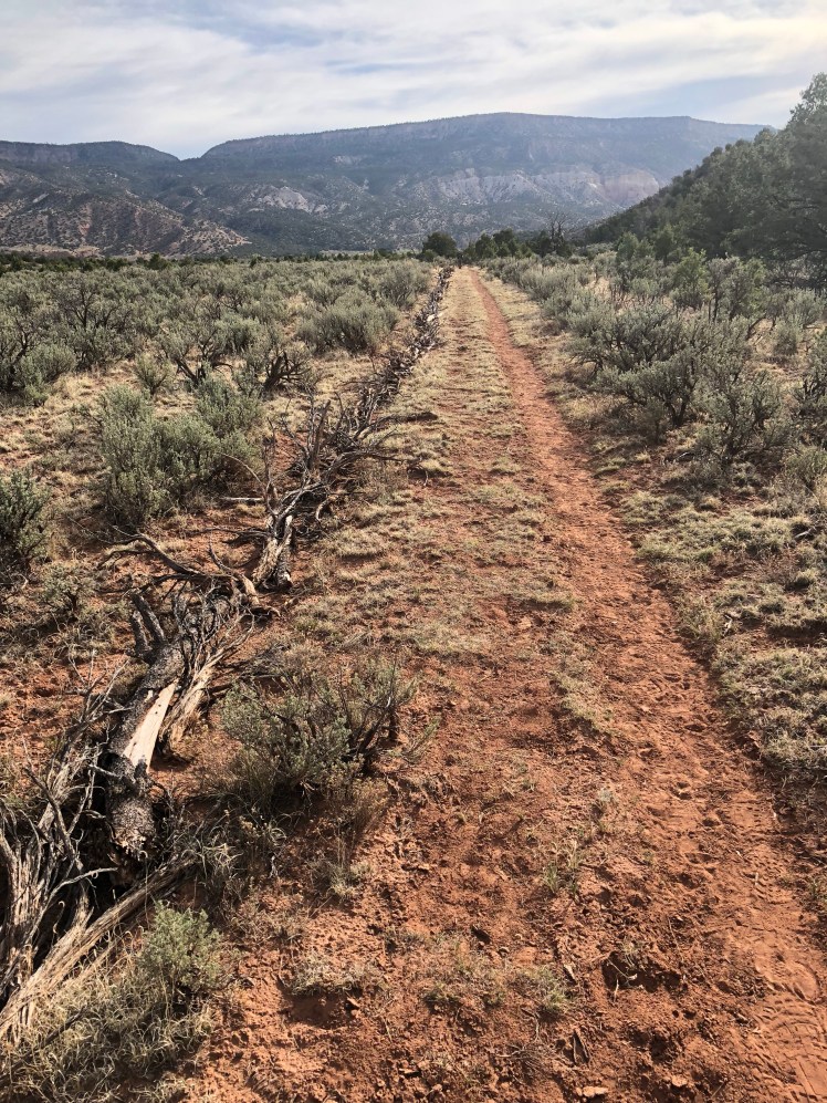
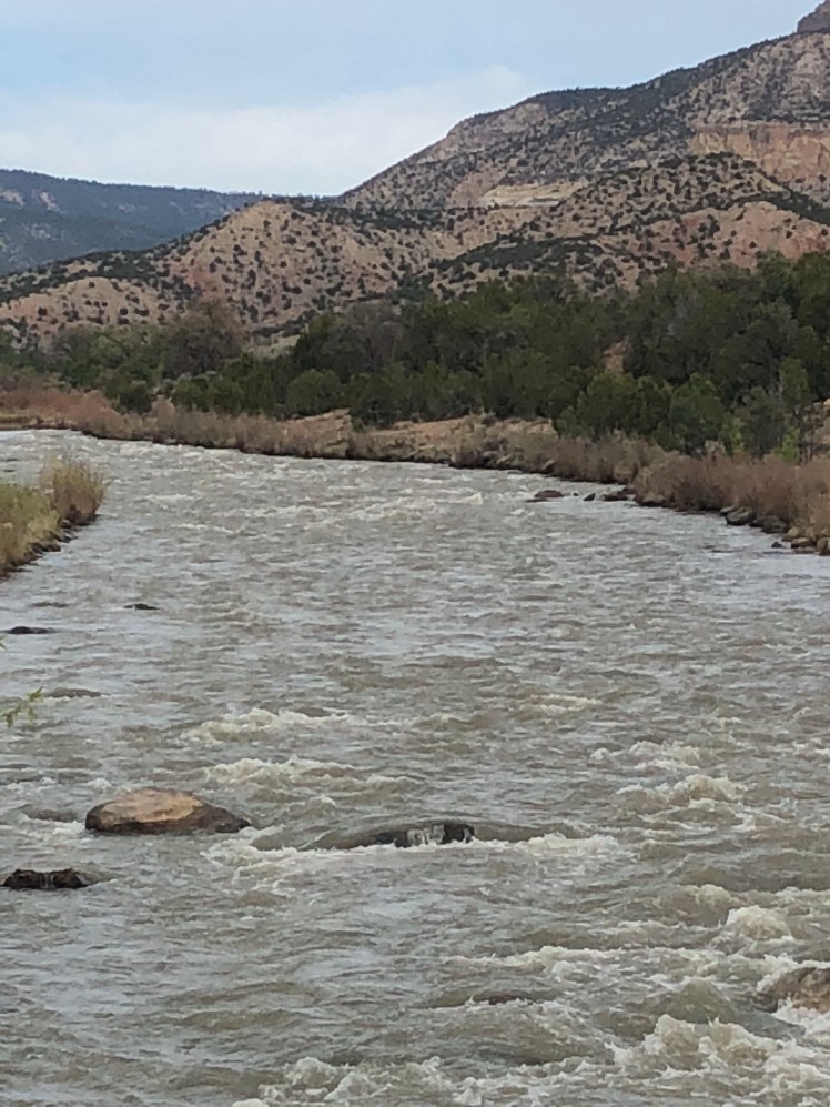
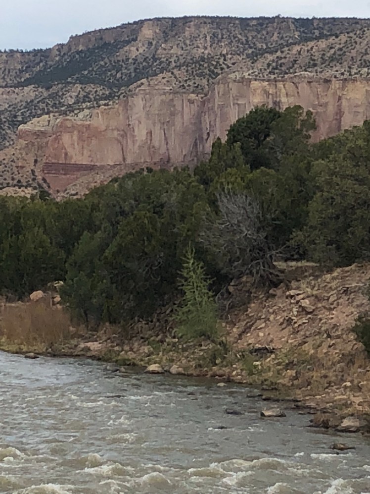
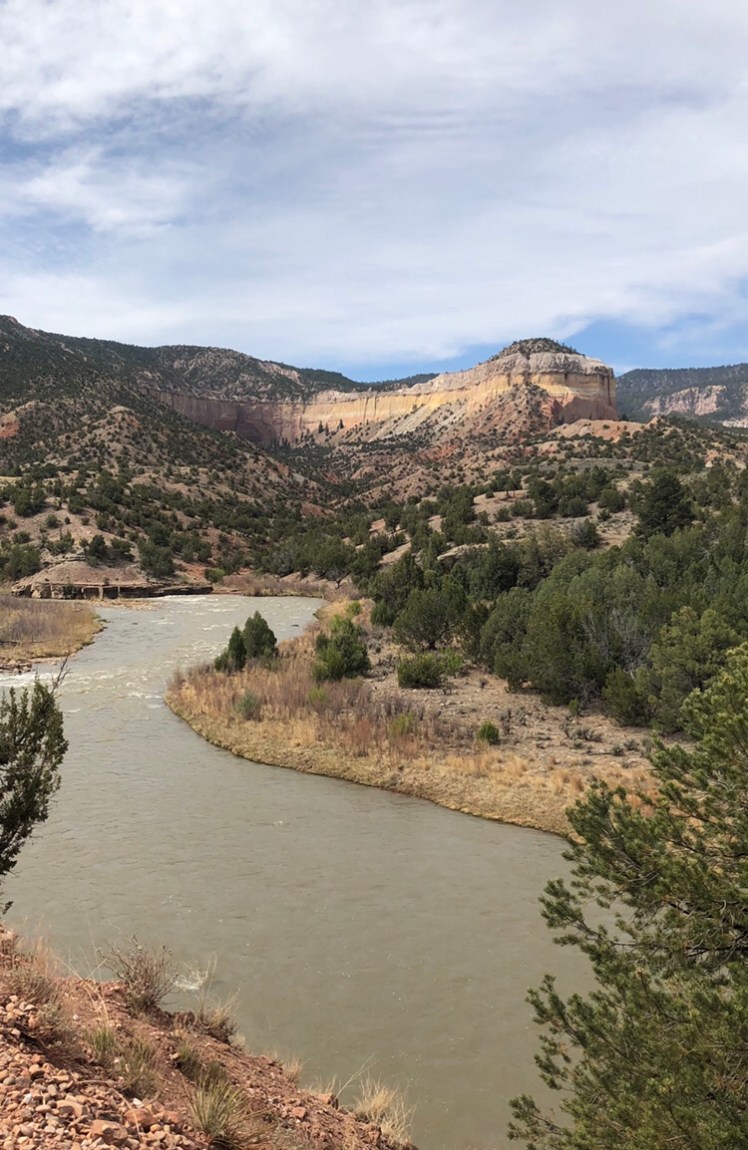
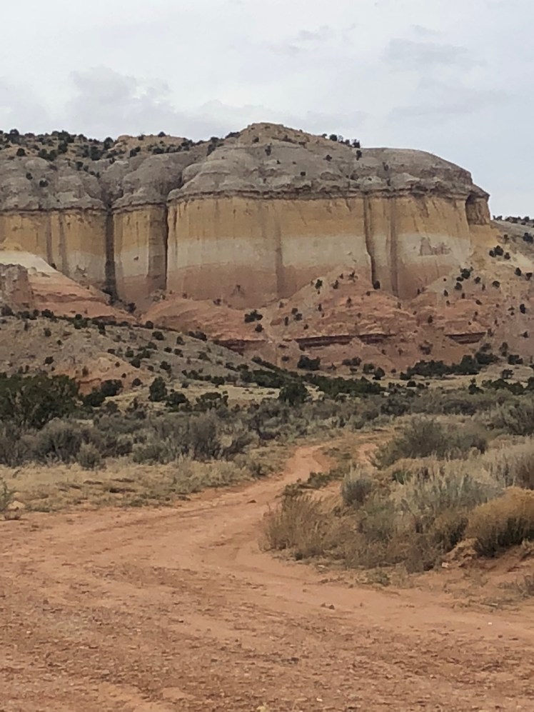
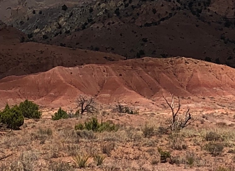
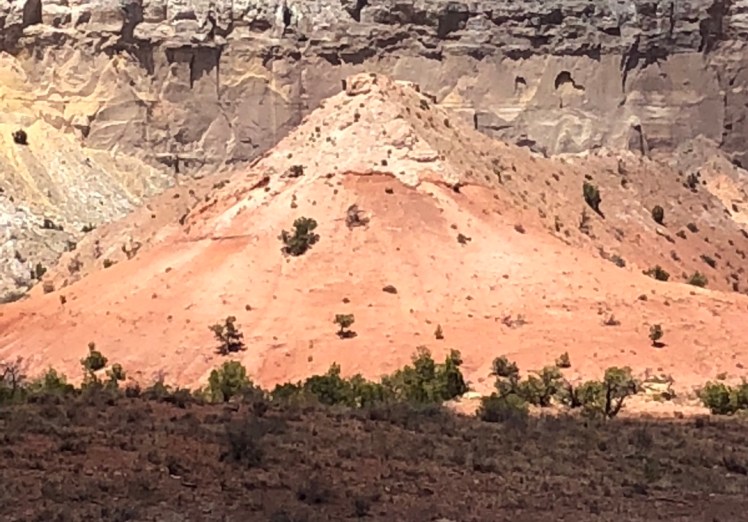
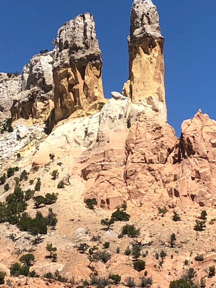
In the early morning we descended the Mesa at sunrise as the golden morning sun glints off red, orange, and columns in the distance. We climbed down into the Rio Chama valley through the Ojitos Canyon.

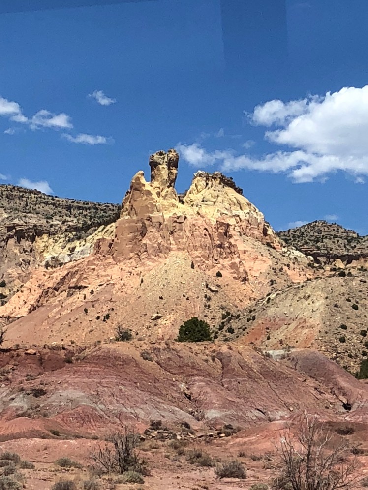
This is Georgia O’Keeffe country.

– from Ghost Ranch.

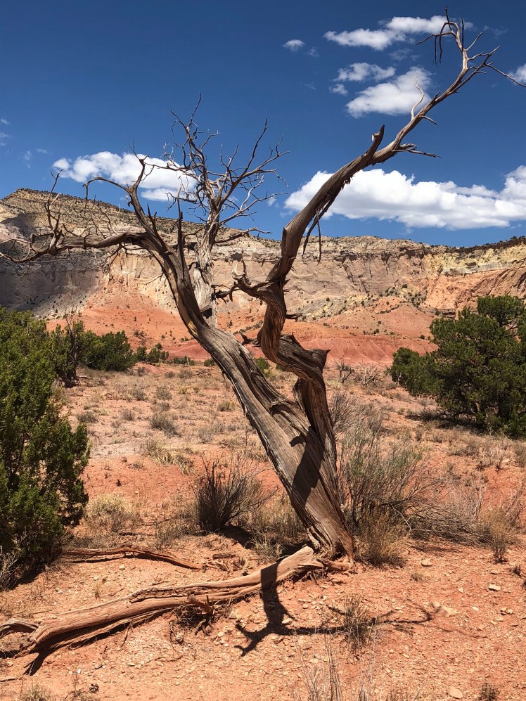
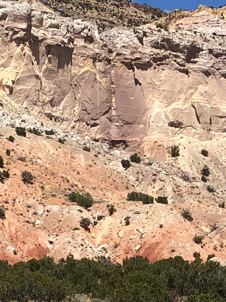
Following are scenes painted and made famous by Georgia O’Keeffe:

CDT 2: Lordsburg to Silver City

April 11, Day 9

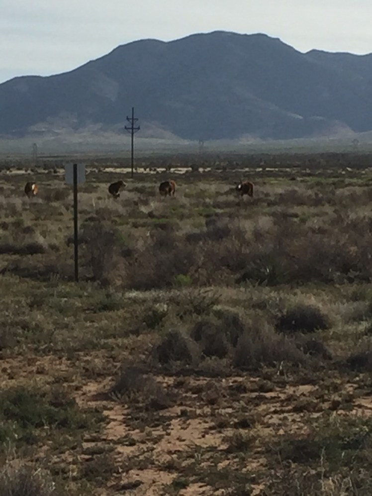
It was an early start out of town. Ghost and I cut across several pastures of weeds broken only by swaths of cactus and large arroyas following our gps and looking for blazes.

There was no place to hide from the unrelenting sun.

I am not certain why this is called the Continental Divide Trail. I have yet to see a “TRAIL”.

img_2146

img_2147

img_2149

April 12, Day 10

In the evening we started into the Big Burro Mountains.

We camped before a solar windmill and obtained water in the morning.

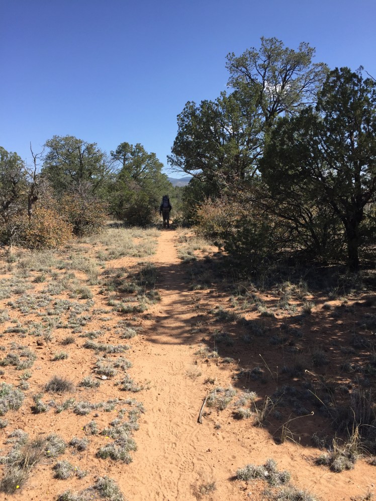
After road walking a few miles up a dirt road we finally were hiking a trail. JOY!

img_2154

IMG_2152

IMG_2155
April 13, Day 11

After getting up at 3am we were able to make it over the three mountains and take Deadman’s Canyon down valley.

img_2158

img_2156

Happy to be in Silver City as have another appointment with same doctor who works in Lordsburg and Silver City.

Under heavy medication for knee pain. I am in Silver City but not certain if I will be able to continue.

CDT 7: Grants NM to Cuba NM

April 28 to May 3

Day 27 to Day 32

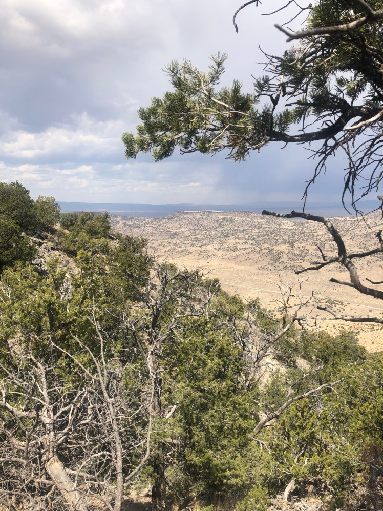
Departing Grants we climbed upon the Mesa north of town surrounded by the aroma of Piñon pines and the sound of rolling thunder. During the afternoon it rained lightly.
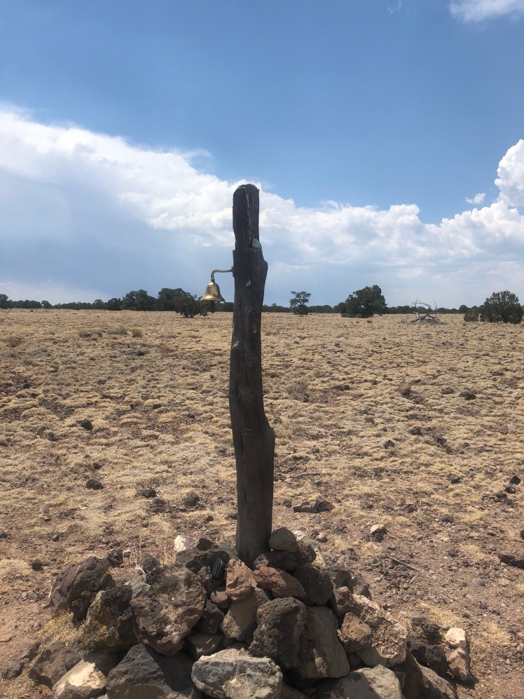
A bell waiting our ringing at the Mesa top.
After a few hours of hiking we stopped early not wanting to camp at a higher altitude.

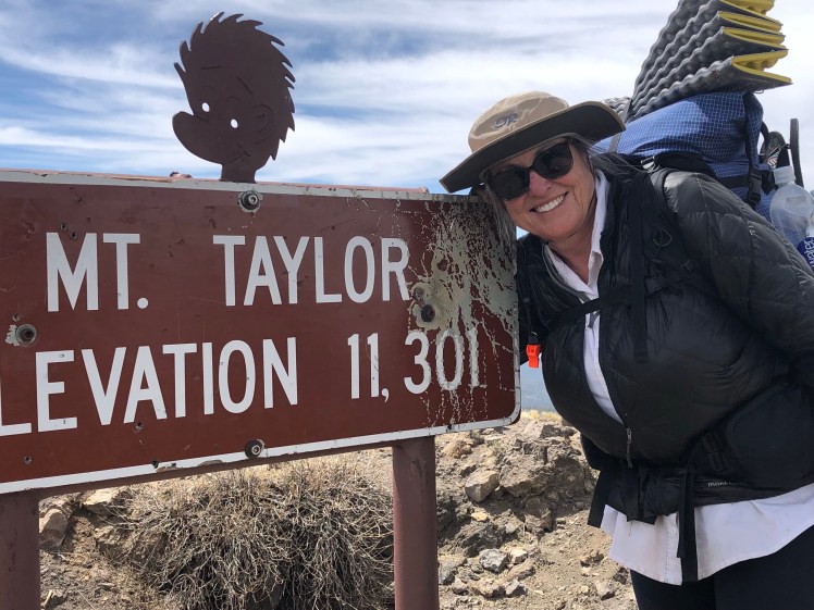
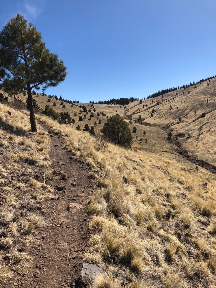
Climbing Mt. Taylor in the morning:
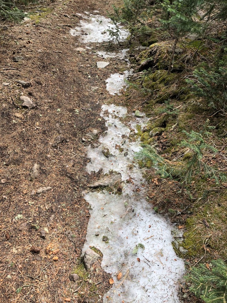
Signs of snow on the trail during the descent:
After the trail off Taylor we faced a miserable road walk in the cold wind with two major climbs.

The next day (Monday) the trail followed a very rocky abandoned road all day:

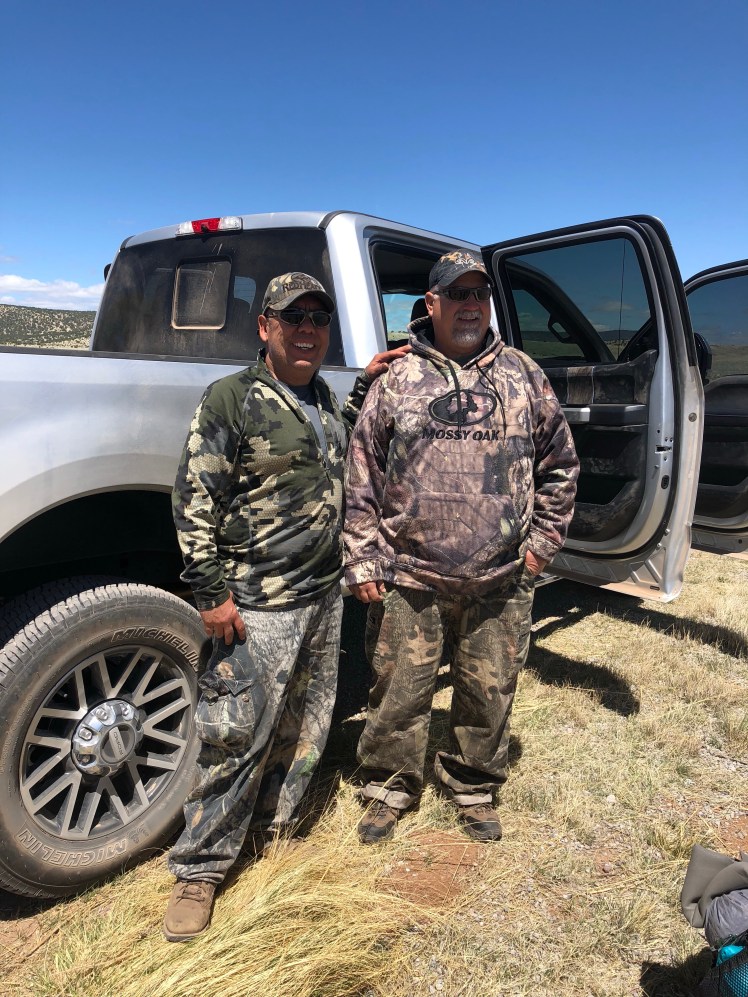
The exciting part of day was meeting two Native American (Pueblo) wild turkey hunters after their successful hunt.

They shared water, oranges, and apples with us. All we happily accepted to augment our trail rations.

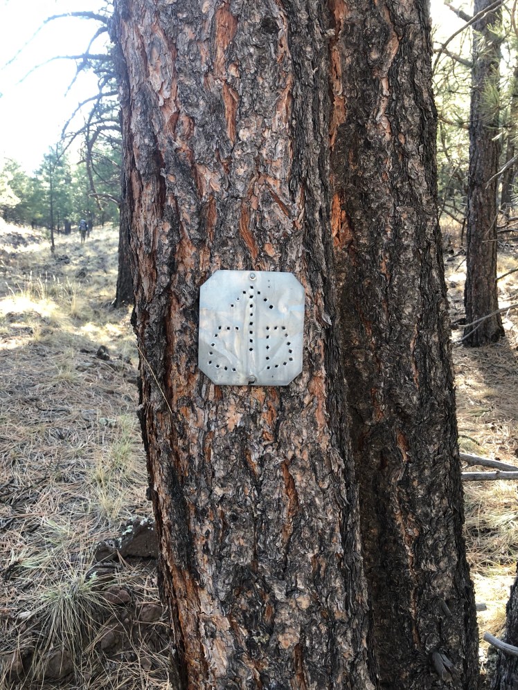
The next morning we were finally on a trail through the forest and soon found ourselves on top of a large mesa.
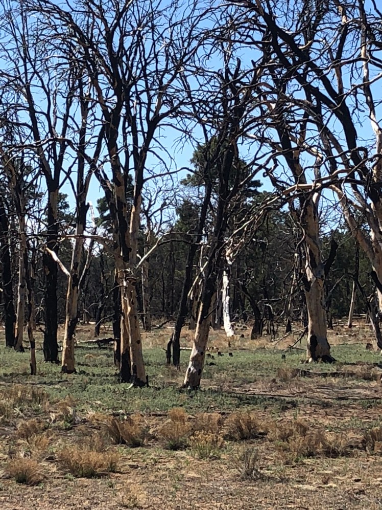
After a long ten mile hike across the mesa we came off the mesa dropping 3000′ over three miles.
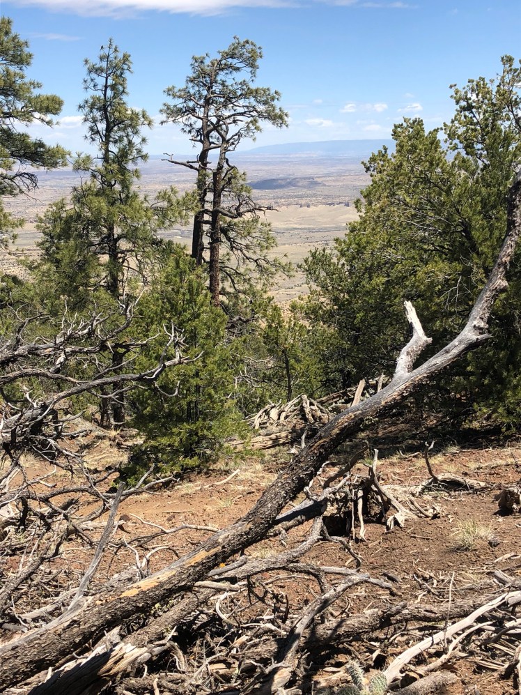
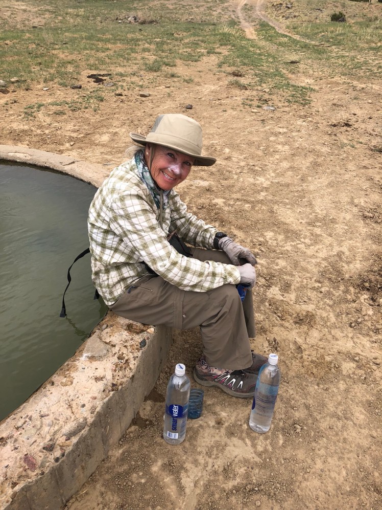
Out of water we had to filter from a murky green cow trough.

I’m quite certain there were dead things floating around in the water.

The late afternoon was spent cross large arroyos with quicksands.
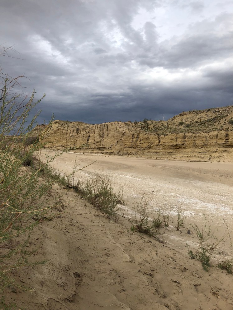
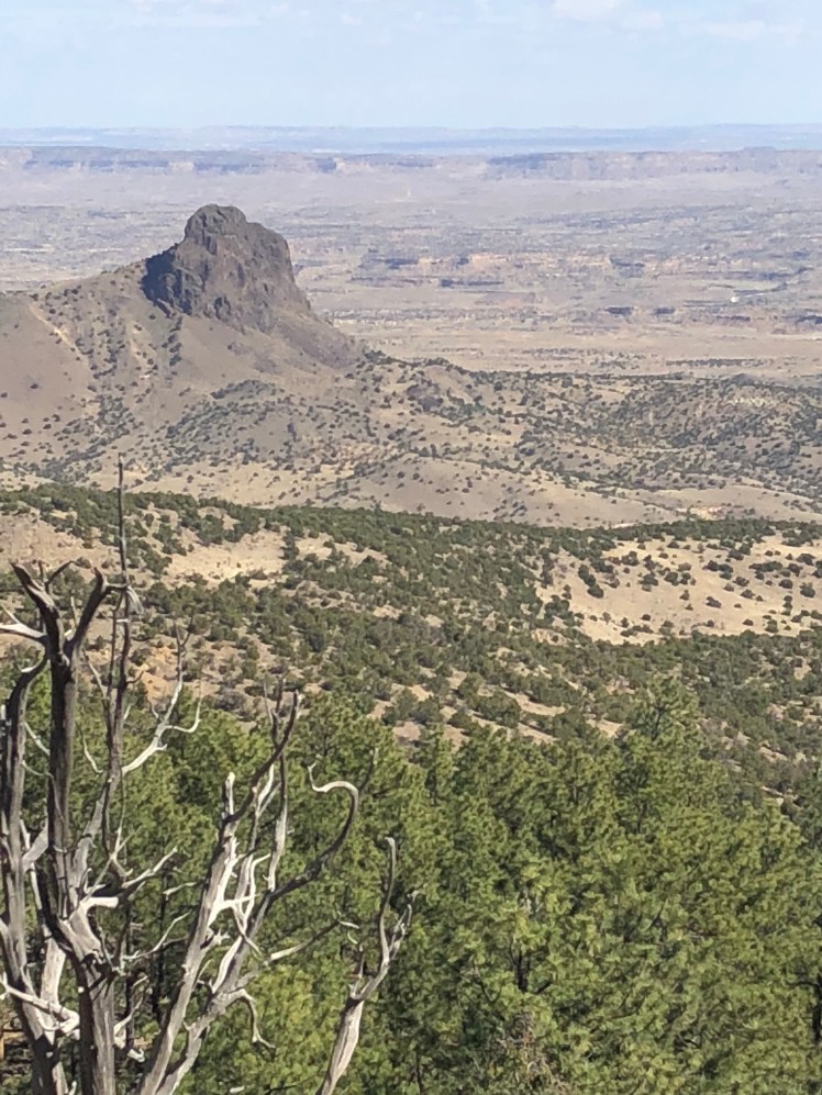
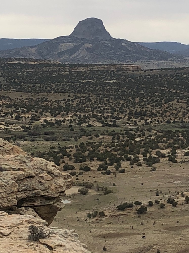
Looking ahead at the start of the buttes we struggle through for the next forty miles:
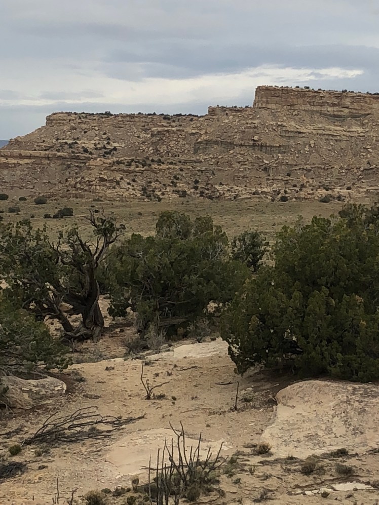
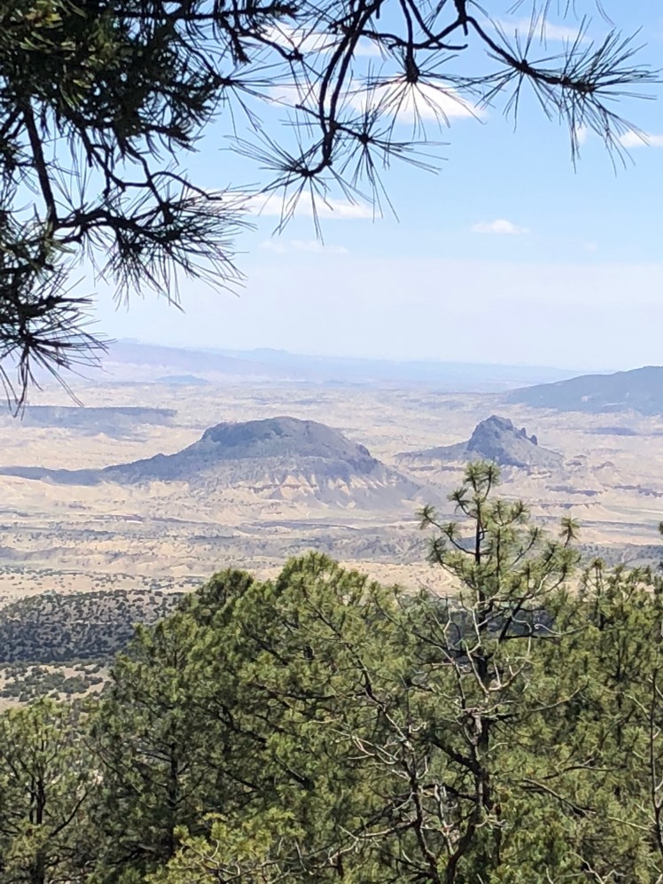
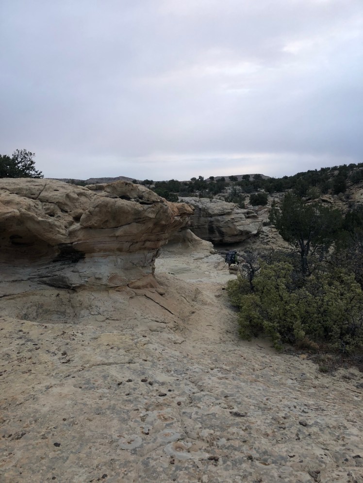
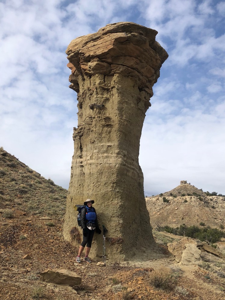
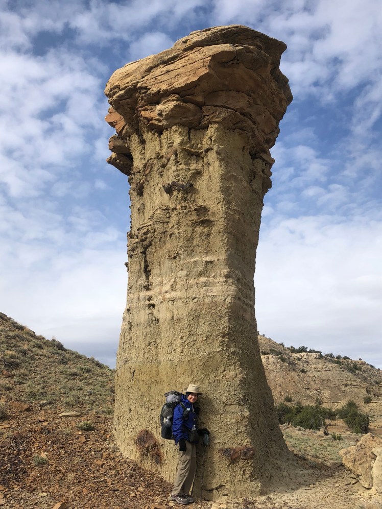
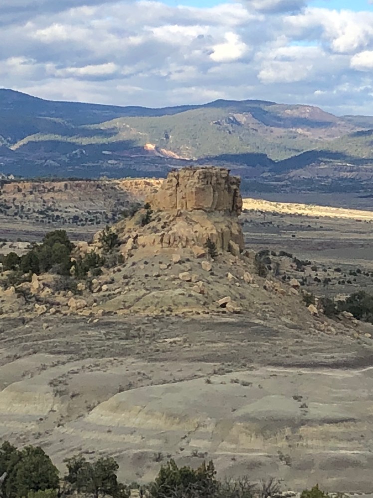
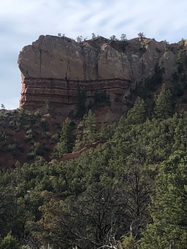
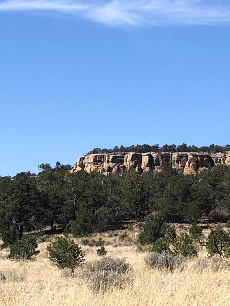
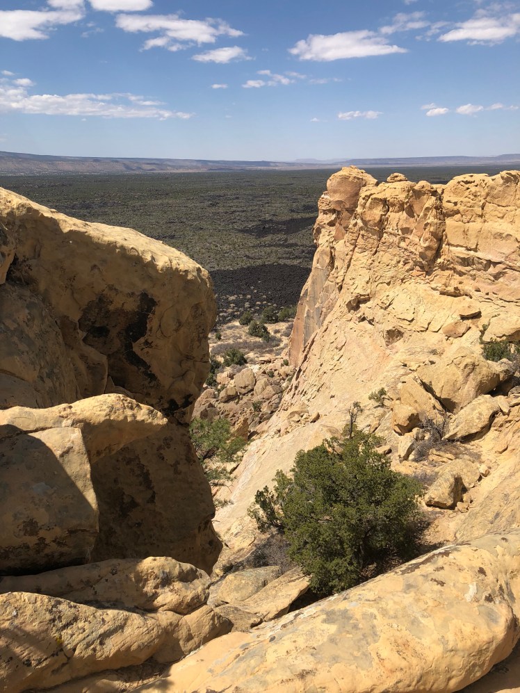
The buttes: we have arrived on Mars. These sandstone cliffs striated with color are a visual experience.
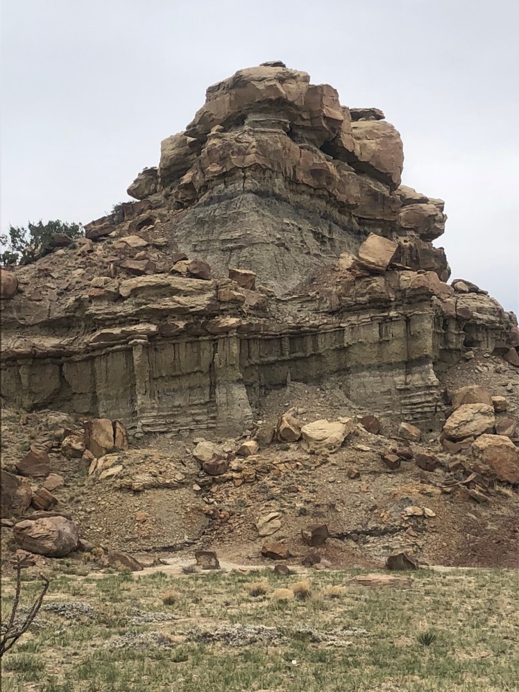
Unexpectedly we meet Hopeful who started the CDT the same day as we did. He left the trail in Grants to attend a wedding and was hiking southbound on this section Cuba back to Grants with a college friend.

We see so few other hikers this was an event.

A water stop between buttes.
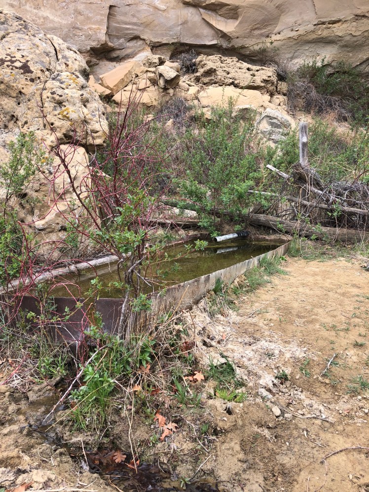
After two days of walking along the top of buttes as the trail edges the cliffs, I am happy to be headed in to Cuba.

My fear of heights was tested to the max when going up the last butte meant scaling straight up on a rock climb while looking 1000 feet below to where I would end up should I slip and fall.

This climb scared Ghost, a seasoned mountain climber, because of our heavy packs which makes it easy to loose balance.

CDT 6: Pie Town to Grants

Mile 423 to Mile 553

April 23 to April 25

There is no water available this year on the Chain of Craters trail option making it advisable for us to take the Cebolla alternate route. Unlike other trails the CDT has many options of the trails to take. Unfortunately for this section the options each have major road walks.
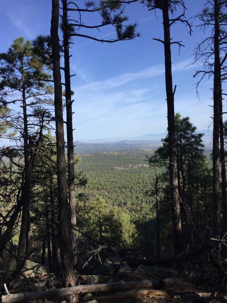
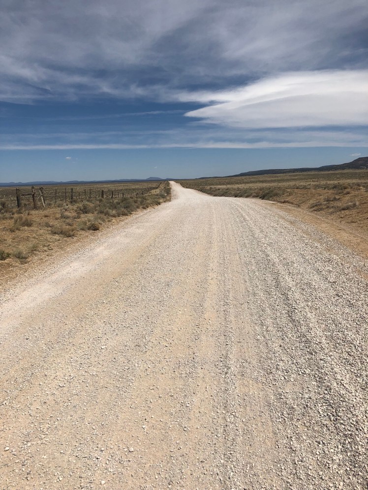
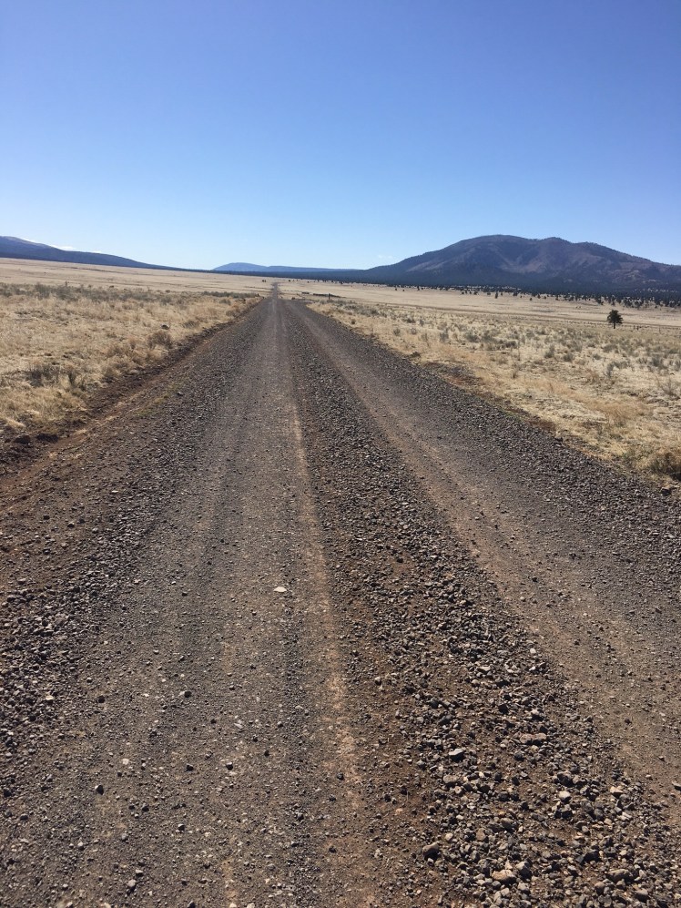
We road walked Highway 603 until we reached York Ranch road where we continued along this very flat straight gravel road.

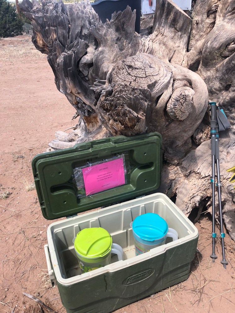
Unexpected trail magic. Water!

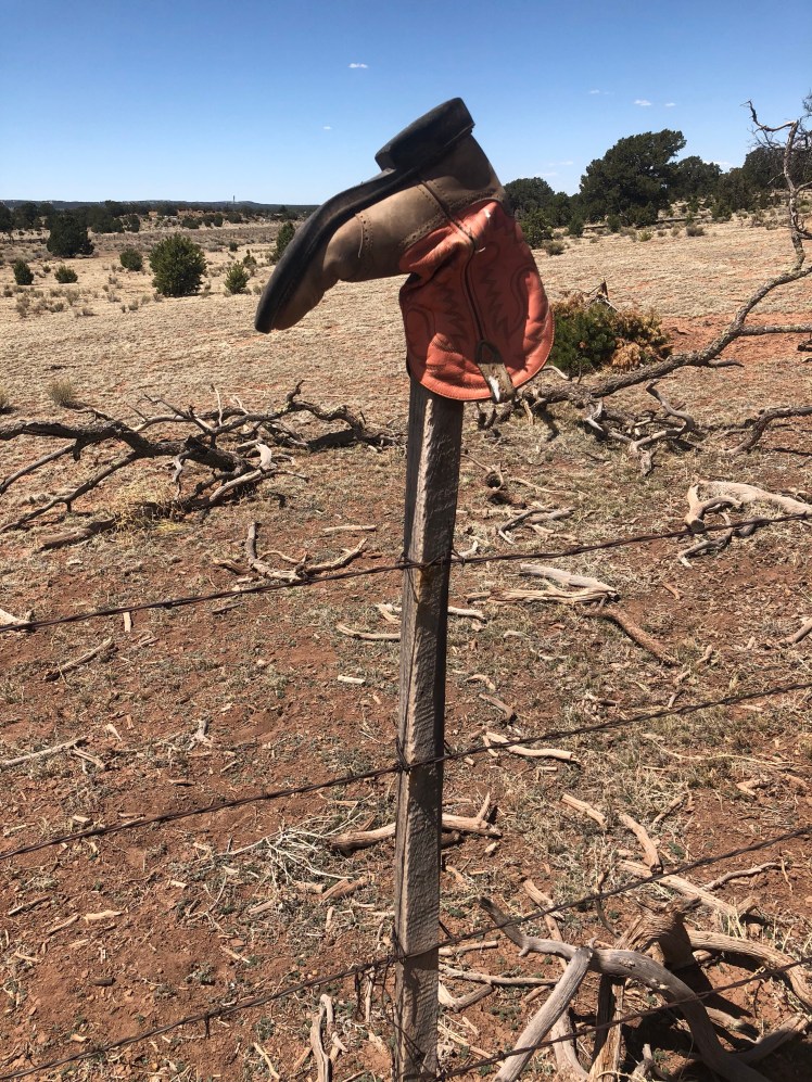
Someone having fun with their fence. Different boot on every other post.

Early the second morning on this long road walk there was a family cemetery along the road.

Another day of road walking. Both days vehicles stopped and handed us bottles of water.

Lunch with the ladies:

Finally we have a trail:

After two days of walking the gravel road we both have blisters on the bottom of our feet and decide to camp early.

It was a beautiful walk up Armijo Canyon and down Sand Canyon.

We passed a couple of 1930s homesteads.

A forest ranger stopped and gave us bottles of water.

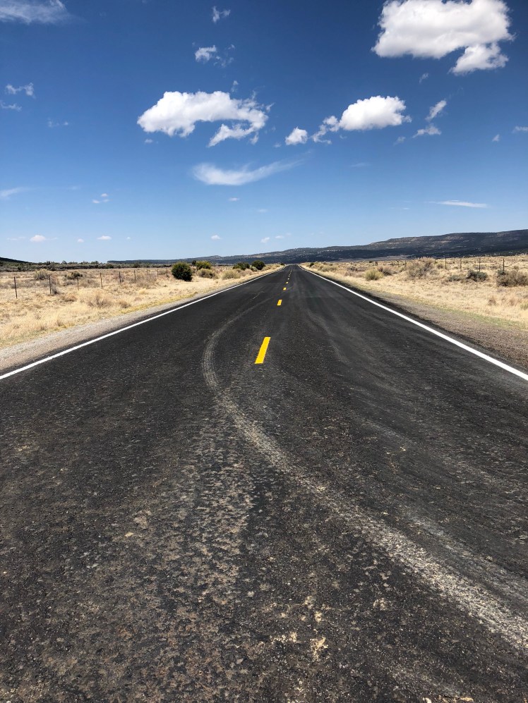
Highway 117 appeared dangerous to walk along with vehicles passing at high speeds.

El Malpais National Monument.

CDT 4: Doc Campbell’s to Pie Town via the Middle Fork of Gila

Mile 220 to mile 423

April 17 to April 22

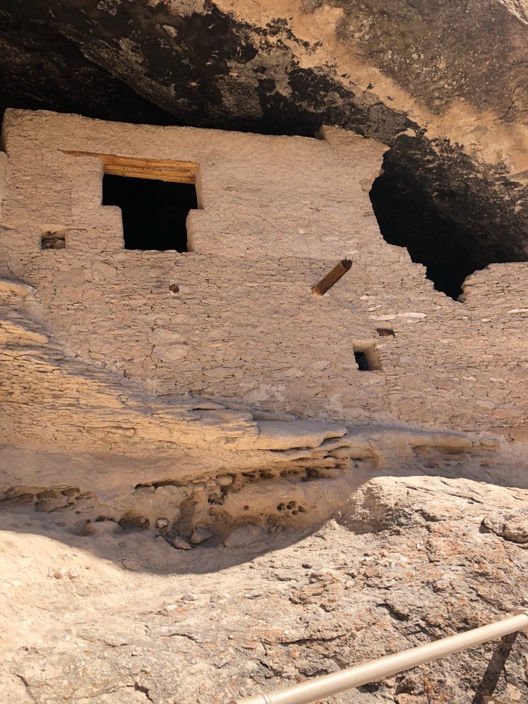
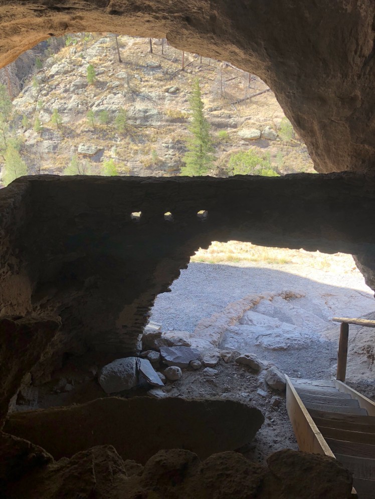
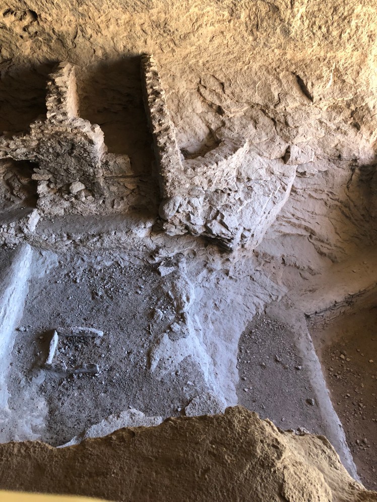
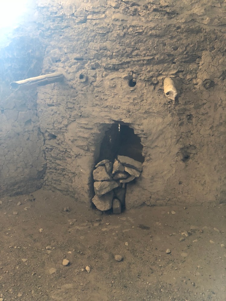
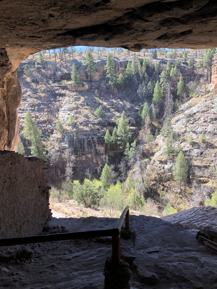
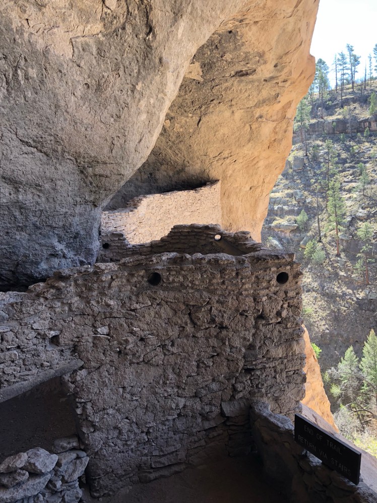
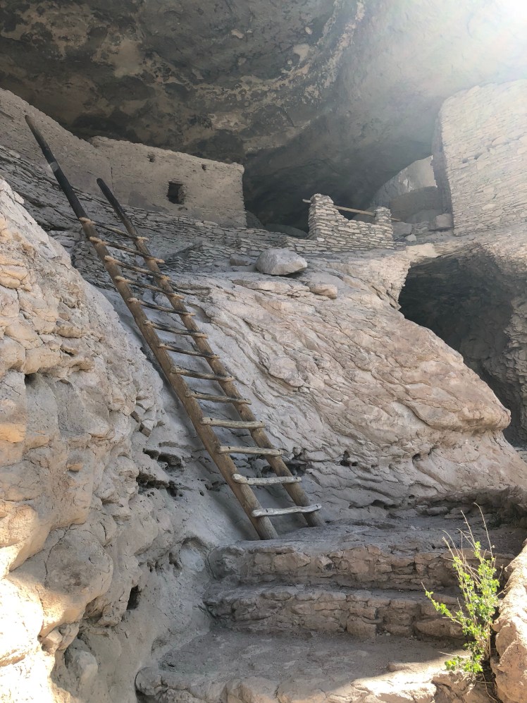
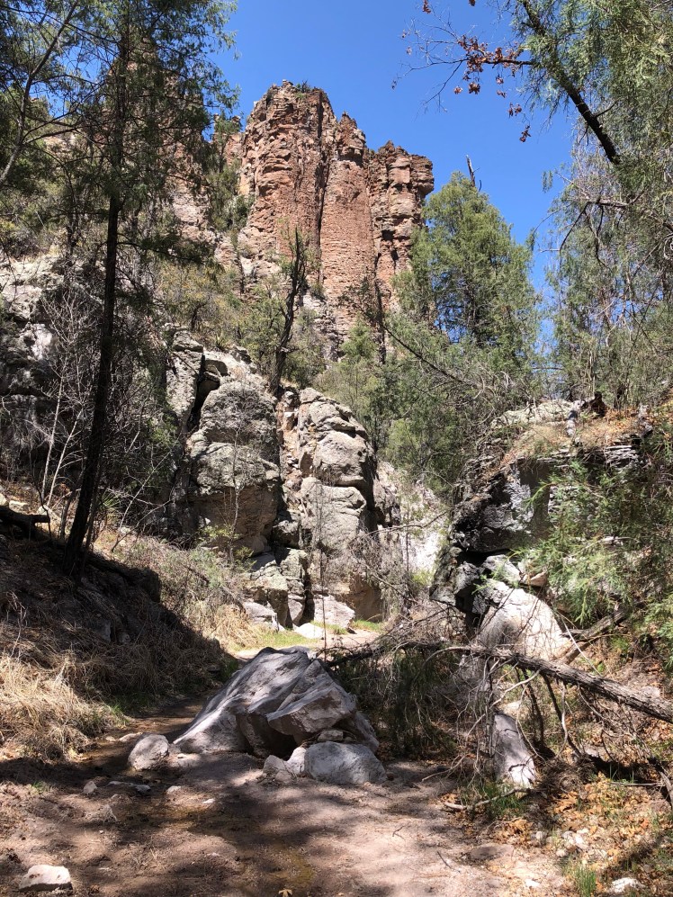
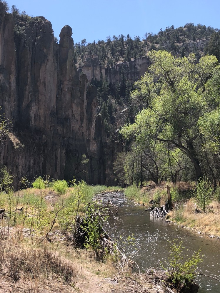
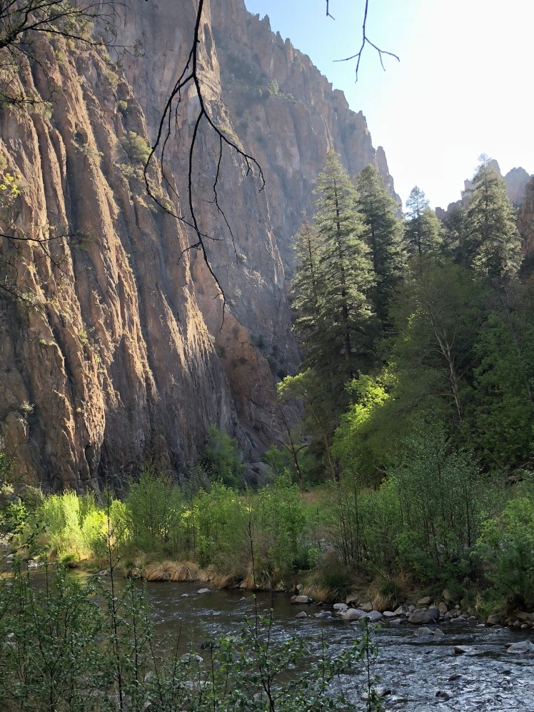
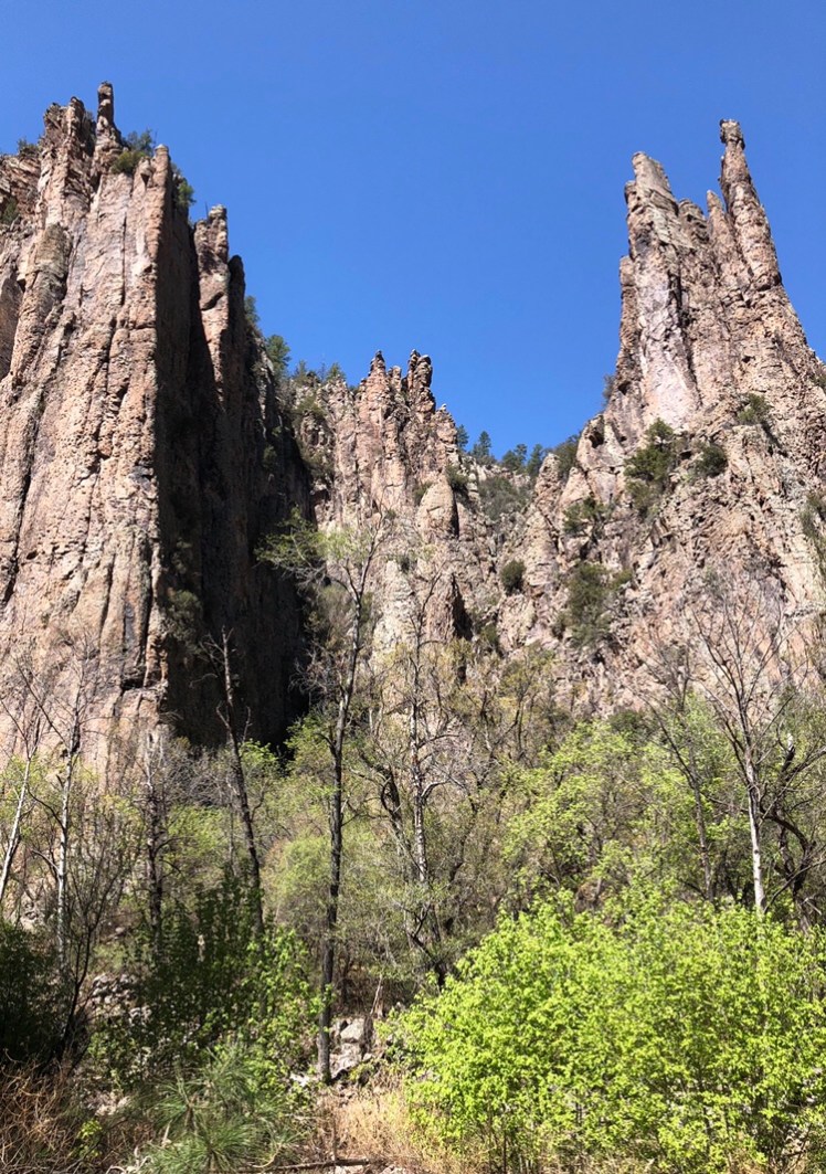
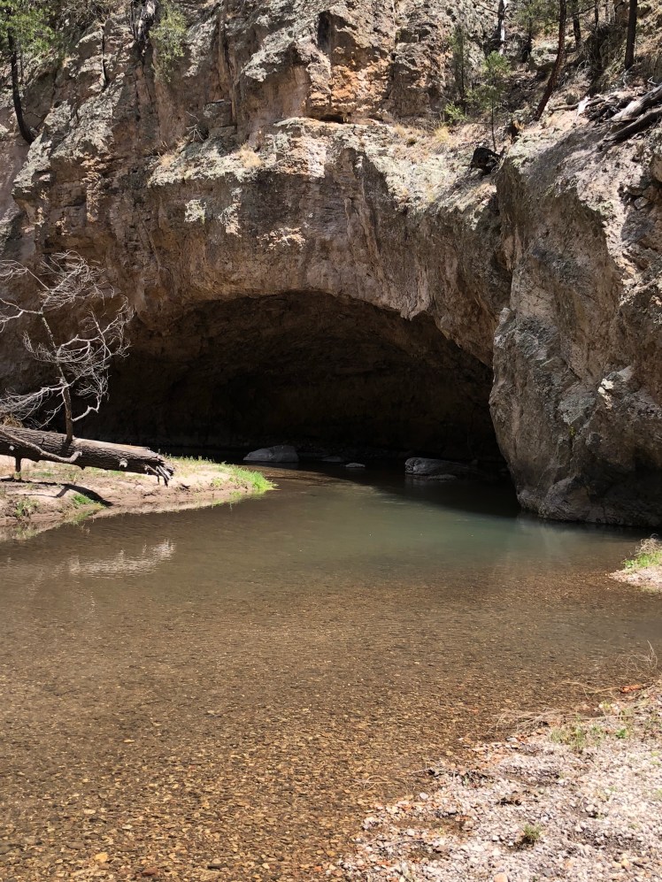
After a tour of the Gila cliff dwellings we hiked the Little Bear Canyon into the Middle Fork of the Gila River.

The walk in Little Bear Canyon:

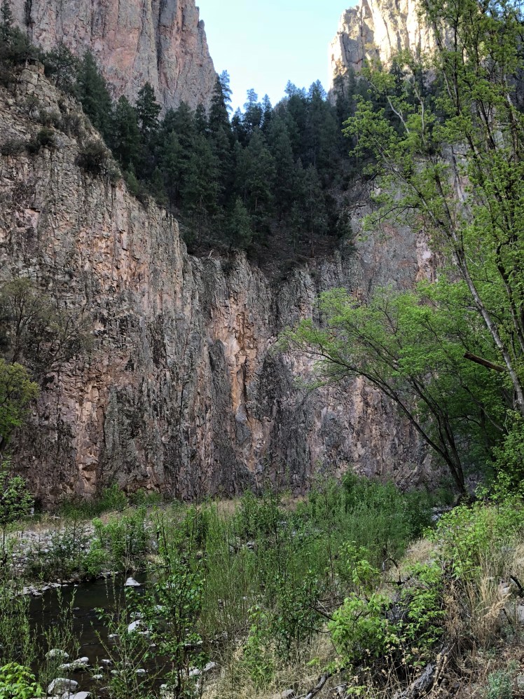
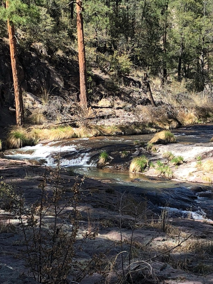
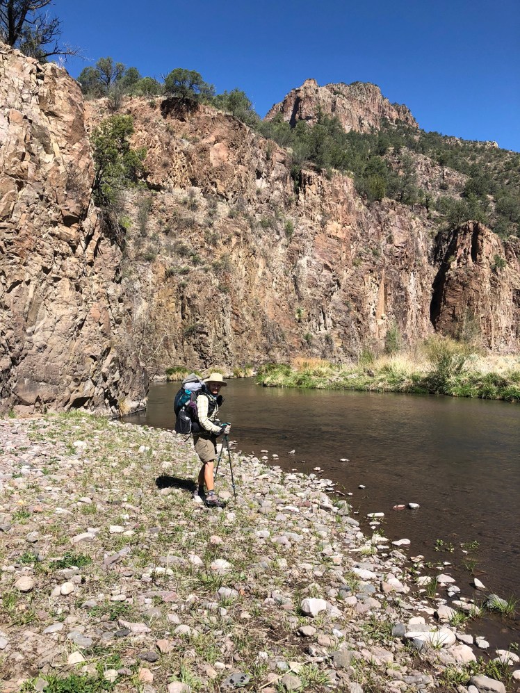
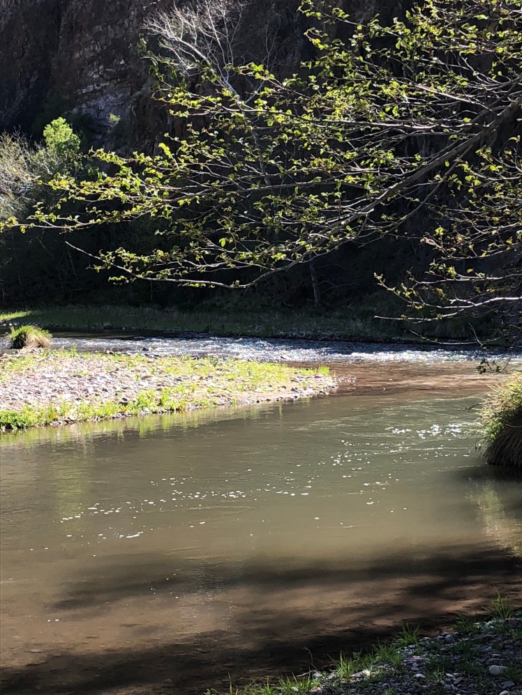
Middle Fork of Gila River:

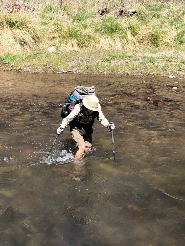
We struggled with this section. It was very cold in the night and early mornings. The shrubbery torn at my ankles and the water contained some type of shards of rock causing raw red skin on our legs.

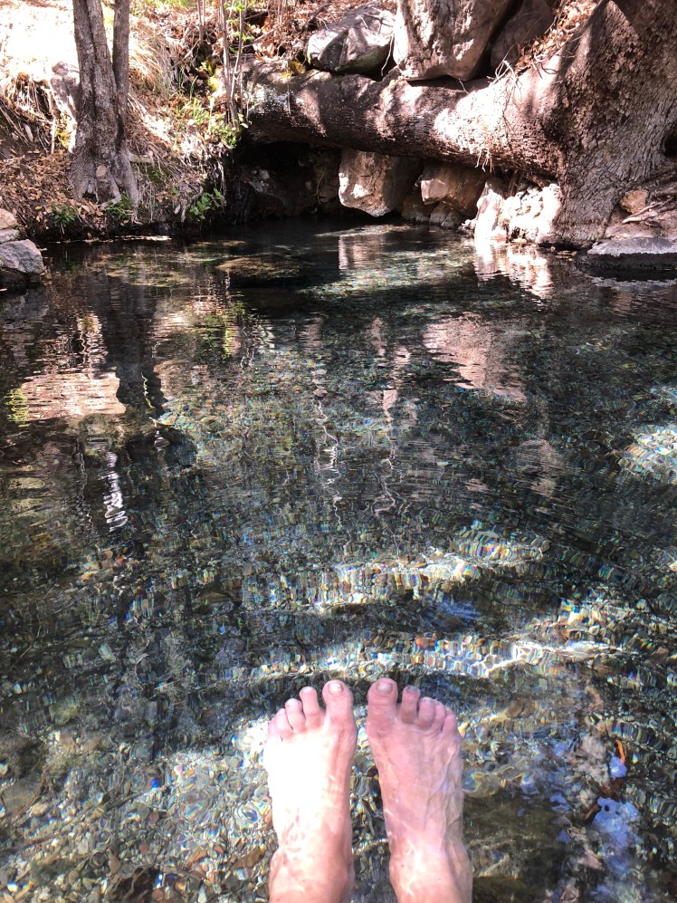
Soaking my feet in Jordan Hot Springs.

My tent.

In the morning we were passed by Running Moose from France, Hurricane from New Zealand, Peppermint skunk from Germany, and de Bear from Massachusetts. Peppermint skunk received his trail name by leaving his tent zipper open when he got out at night allowing a skunk into his tent. He and his gear took the brunt of the encounter. He mistook the skunk for a large chicken.

Snow Lake, the end of the Gila!

Hiking up off pond where we filtered water for next 23 miles. Photo by Ghost.

The long road walk after the Gila.

In early morning four elk crossed road in front of us.

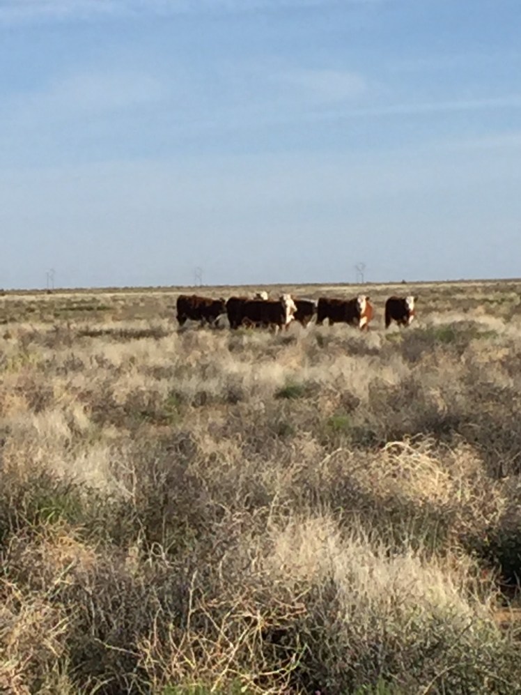
Guess there is big problem with many incidences of wolves killing cattle in this area.

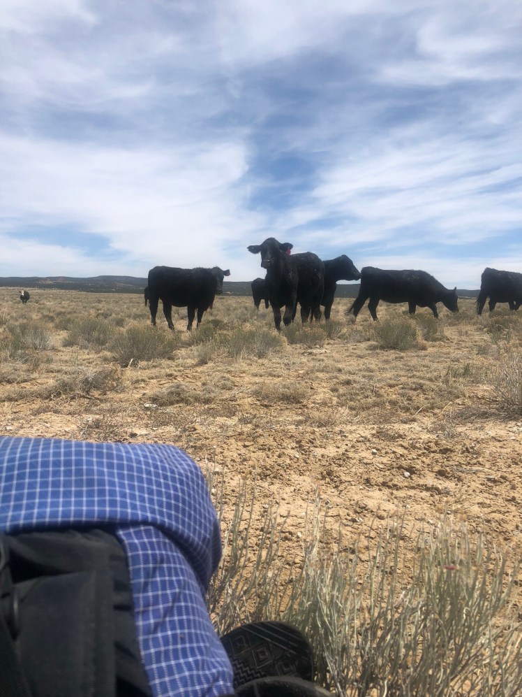
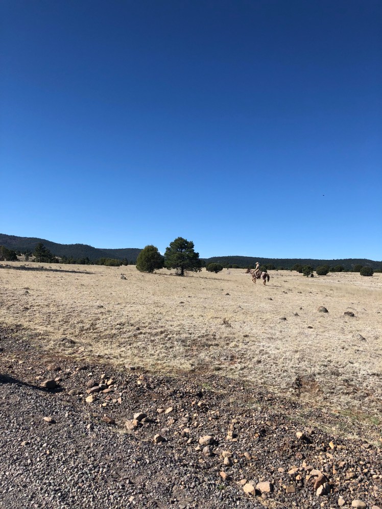
A cowboy trying to catch stray cattle along the road walk.

We caught a ride for portion of road walk with two wild turkey hunters.

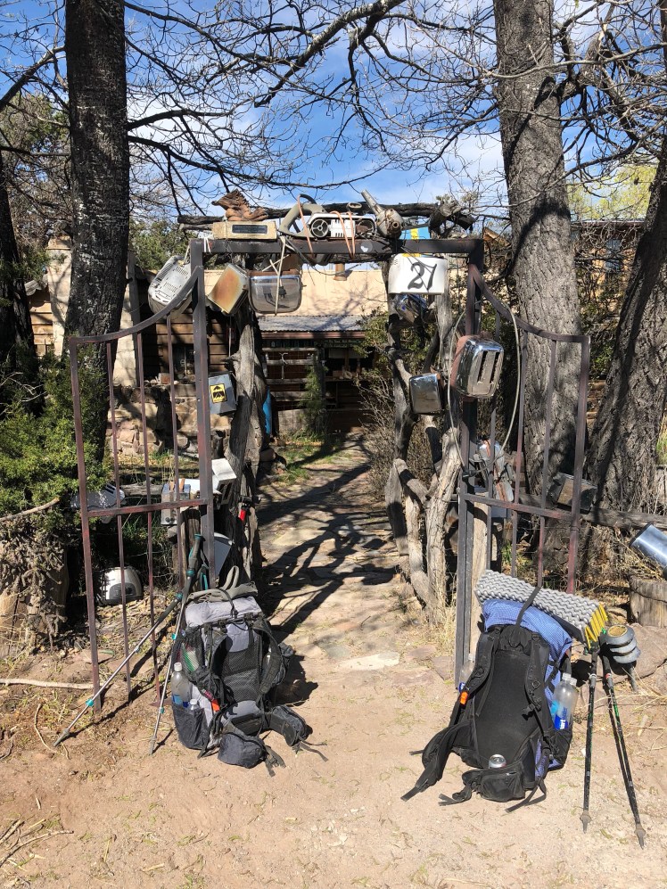
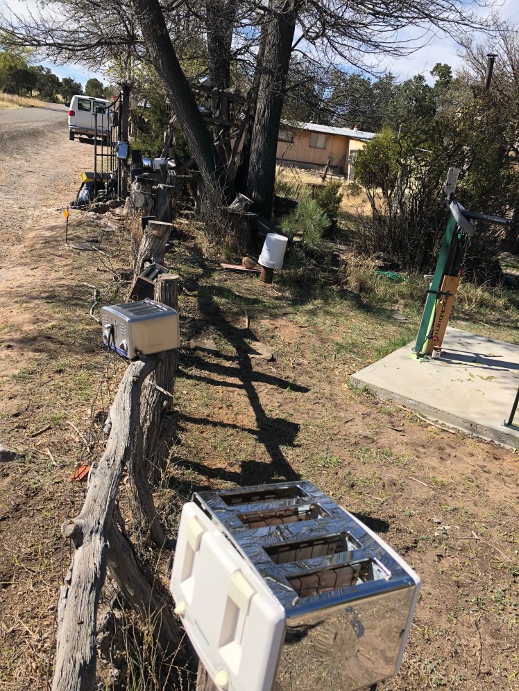
Arriving at the toaster house in Pie Town. Trail angel, Nita, provides this house for CDT hikers and bikers.

Washed our clothes, picked up our resupply, ate lunch at the Pie Town Cafe.

Nita stopped in to check on house (she does not live here) and gave us a tour of greater Pie Town.

We were all set to hike out instead of staying overnight at the toaster house when we were invited to a BBQ dinner by a neighbor veteran, Jeremy, and his wife. It was too inviting an offer to pass up.

The group of CDT hikers staying at Toaster House 4/22:

Left to right

Popcorn, Dodgy ( formerly Bean), me, Pete, and Ghost in front.

CDT 3: Silver City to Doc Campbell’s

Mile 162 to mile 220

Friday April 13

After a zero trying unsuccessfully to replace missing part for my trekking pole, Ghost and I accepted a ride for the road walk asphalt section to trailhead with Mary Catherine the famous trail angel known as the banana tree lady. It was great to have the opportunity to meet her.

Ghost and Mary Catherine

We were misplaced a couple of times trying to find the Gila (pronounced hee-luh) River optional trail.

It was spectacular morning hiking.

A long abandoned homestead. Truly a fixer-upper.

In the late afternoon we met Doug the hermit living on 40 private acres in middle of national forest land. He is a Roman Catholic Hermit by choice spending his time praying. The wilderness hideaway has been his home for 20 years thanks to his benefactors whose family has owned the land since 1880’s.

Doug’s hiker registry

Doug the hermit

We took the time for him to show us his garden and humble abode before continuing onward.

Saturday April 14, Day 13

The trail led straight up the mountain. No switch backs, just straight up. At the top we had our last cell service.

It was a pleasant easy walk down a Sheep valley occasionally lined with wild strawberries before our climb drown into the cliff walled canyon of the Gila.

It took us a little time before we discovered how to find the trails after each river crossing. After a couple of miles we made camp along the river.

Sunday April 15, day 14

In the early morning hours we were treated to the terrible sounds of javelinas killing wild turkeys.

The temperature dropped in the teens in the night.

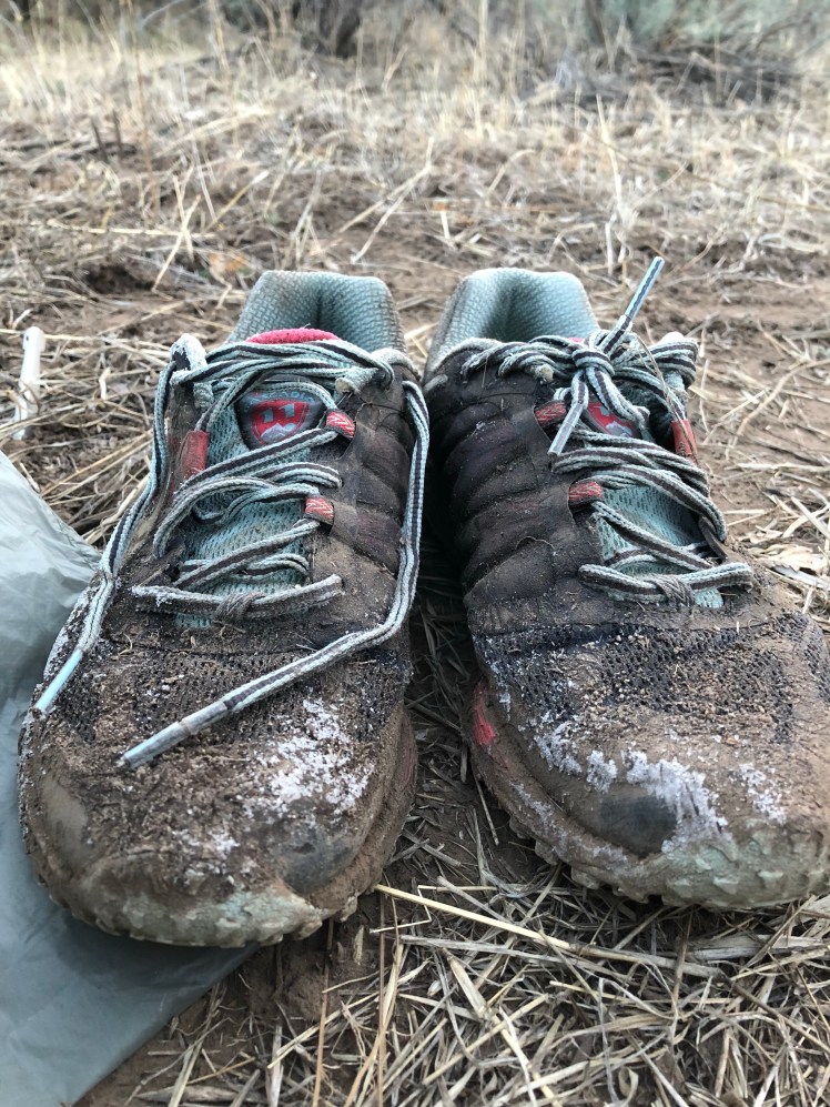
My shoes that I had set inside my tent were frozen solid. They had to be dipped in the river before I could get my feet inside.

I meant to keep track of the river crossings but soon lost count.

A large flock of wild turkeys flew across the river. A beautiful sight.

Monday April 16, day 15

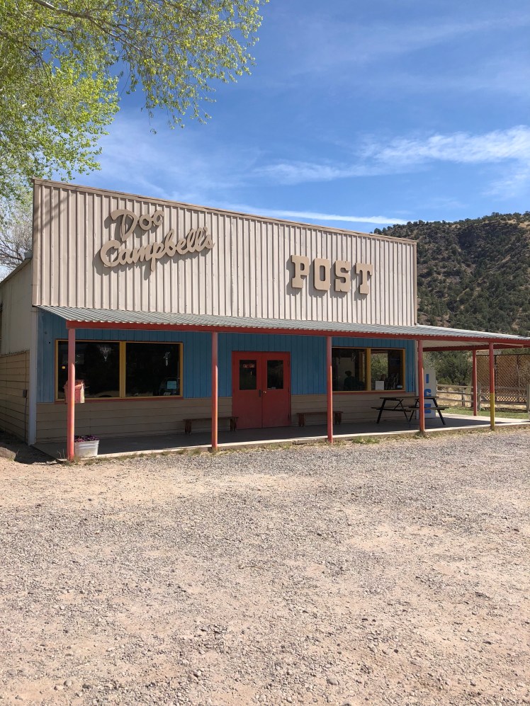
After another chilly night it warmed during the hike toward Doc Campbell’s. We walked fast and were exhausted by the cold morning river crossings.