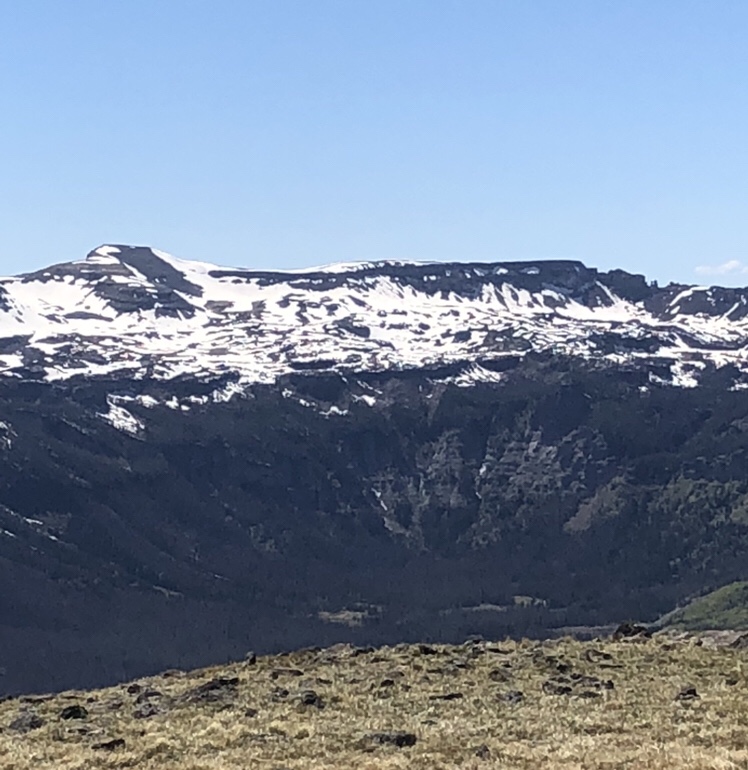
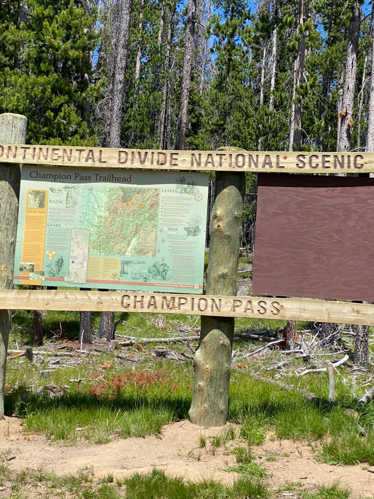
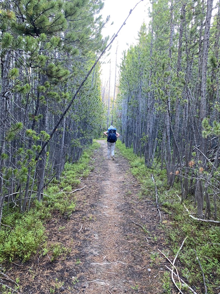
The trail off of Hwy 70 at Battle Pass starts at 9,900′ and climbs over 2,000′. I started late in the day July 13, 2023, as it took some time to find the trail. I ended up using my GPS.
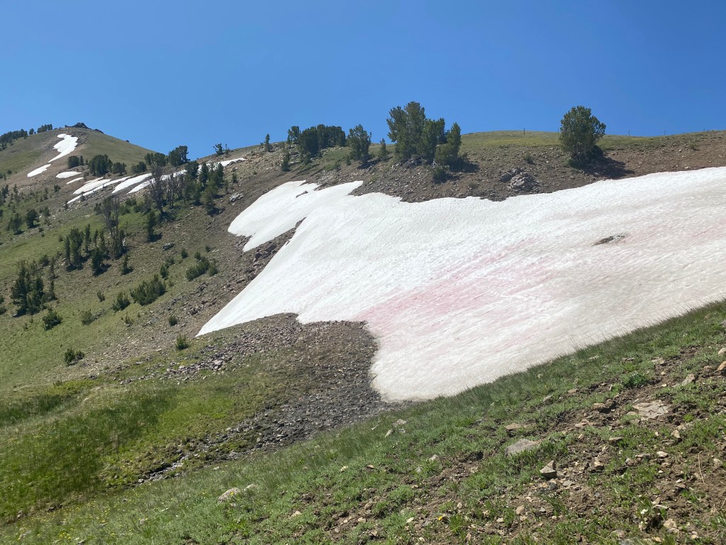
It did not take long to run into snow on the trail although it was a nice warm day.
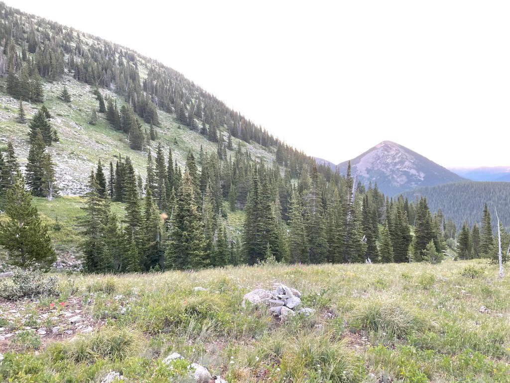
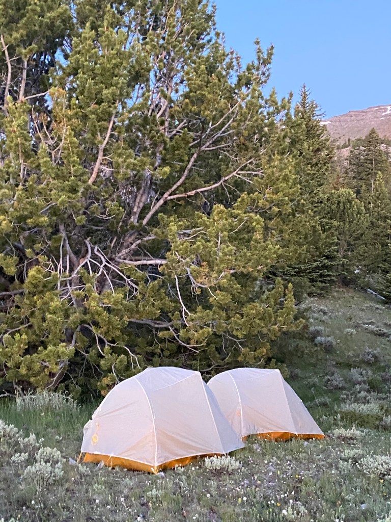
I made it to the highest elevation for this section to camp for the night.
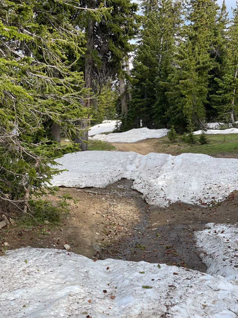
The next day I was expecting to have a fast decent; however, the snow greatly impacted the time and effort to make miles.
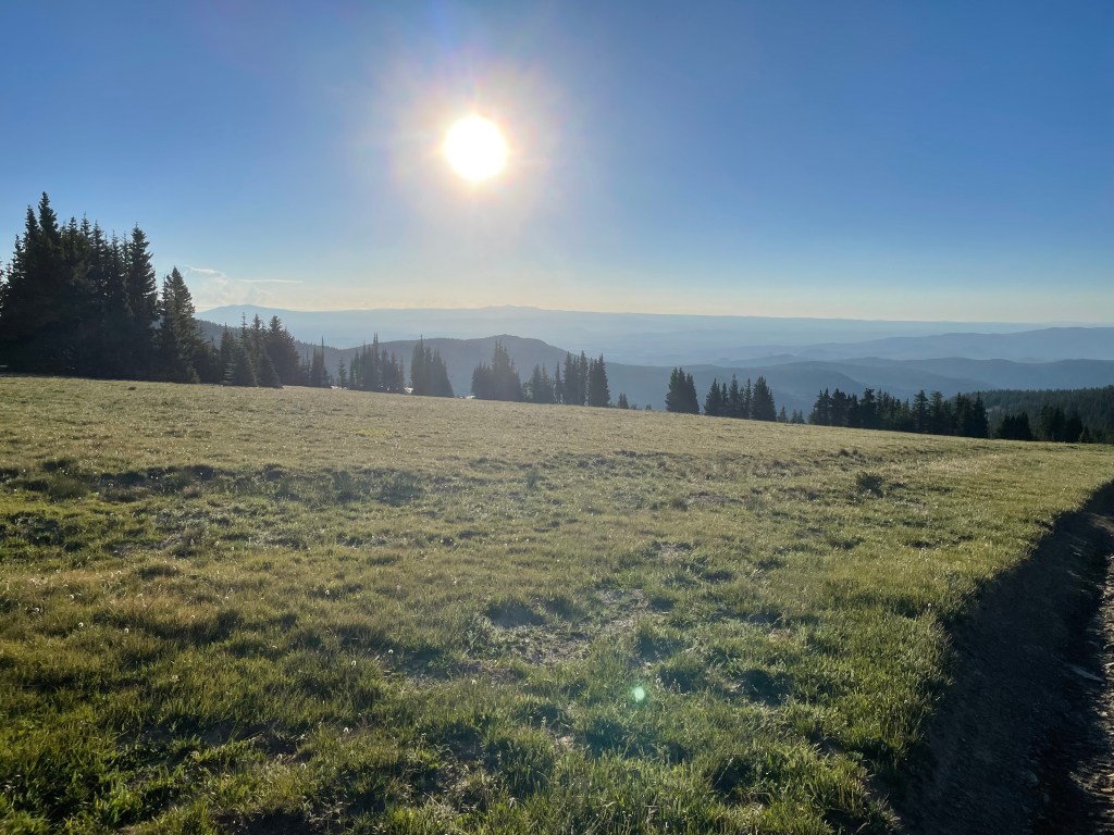
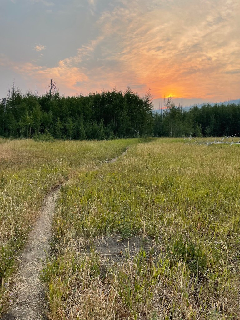
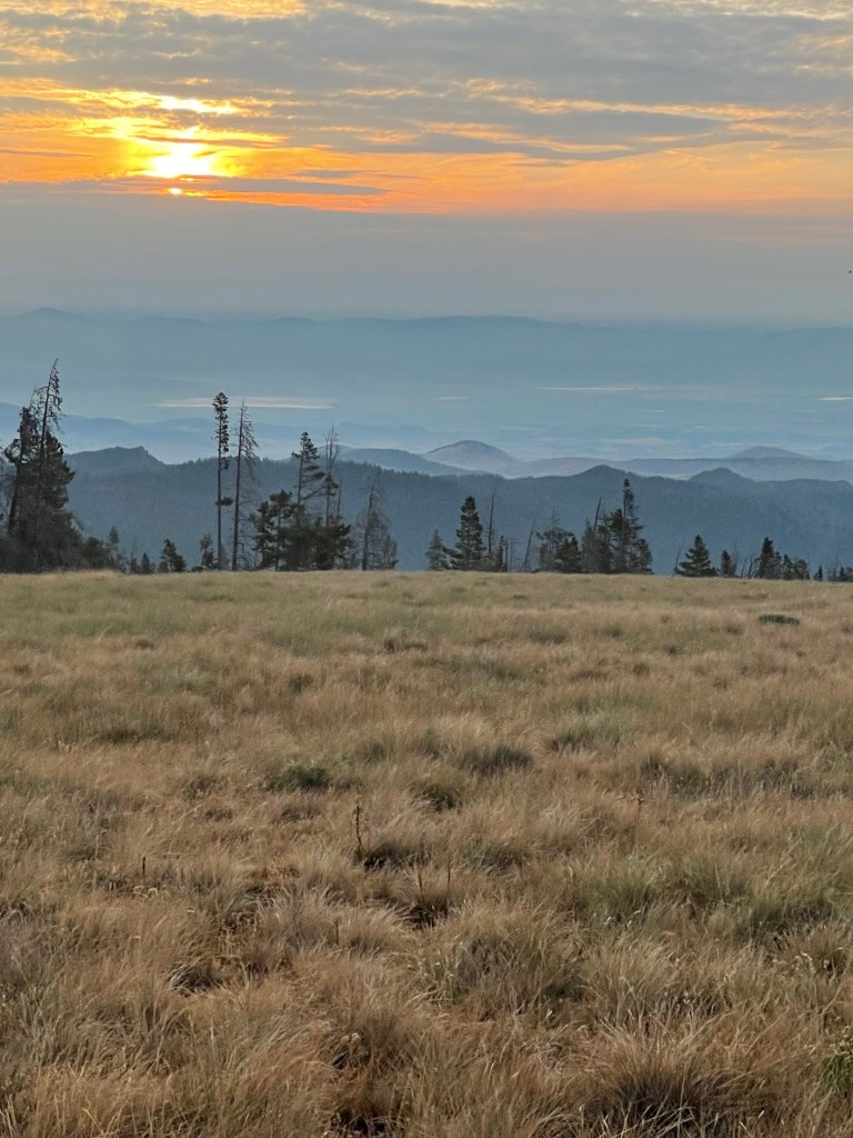
Sunrise in early morning.
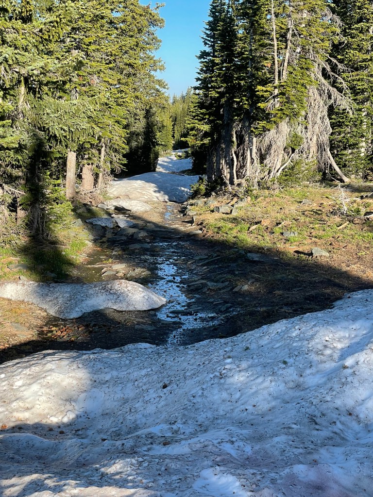
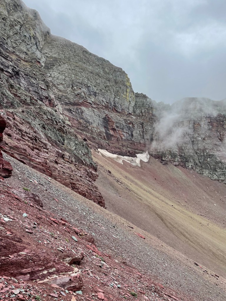
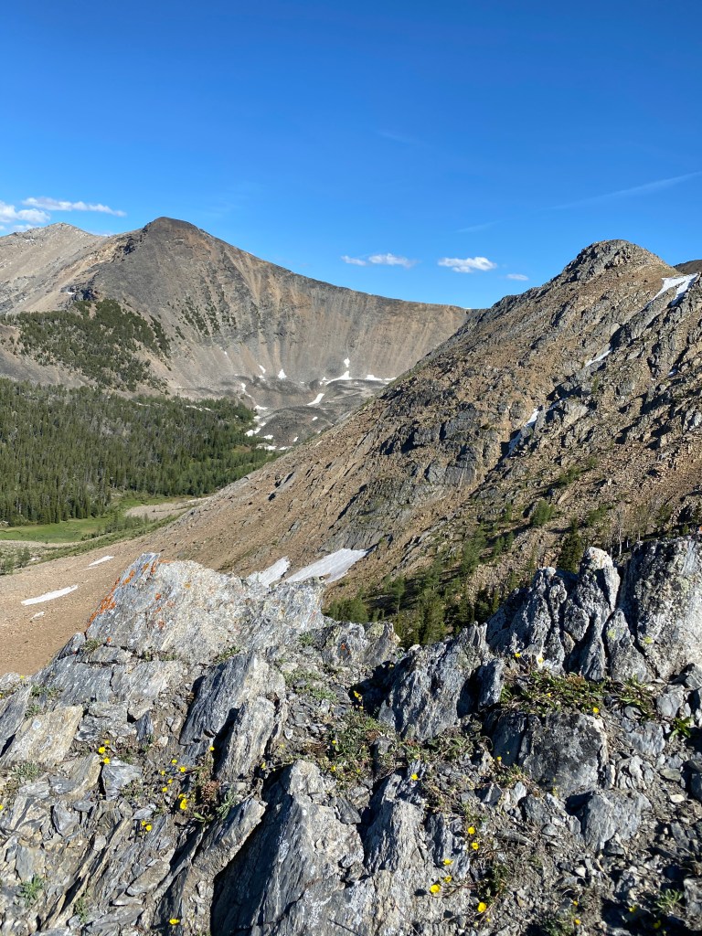
Miles of snow drifts.
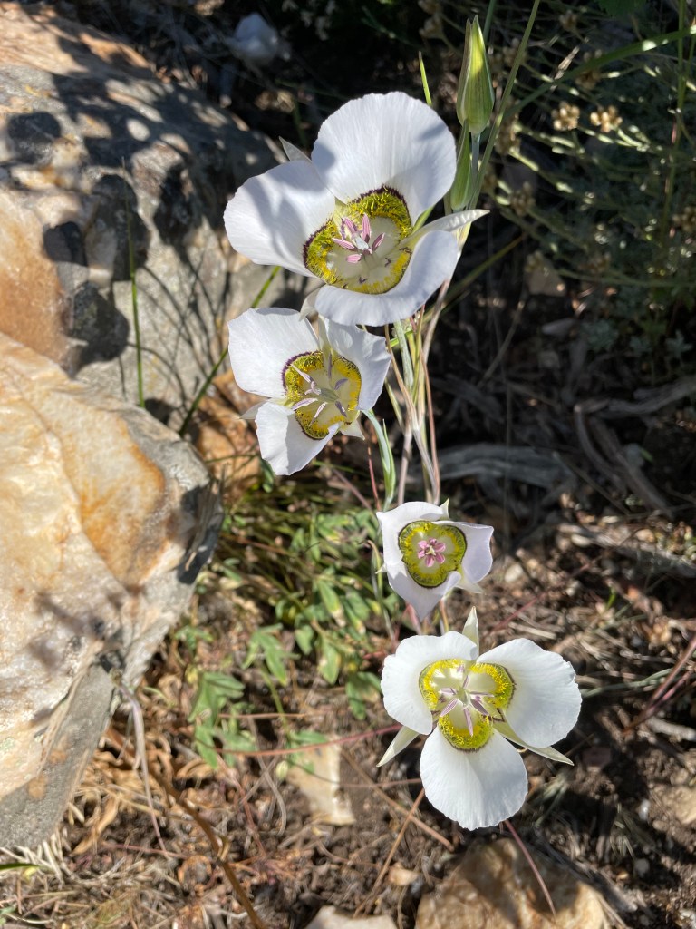
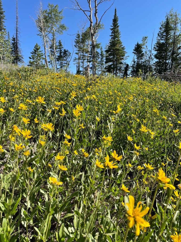
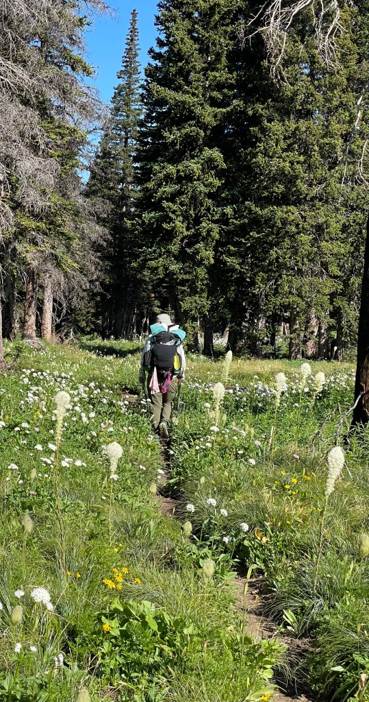
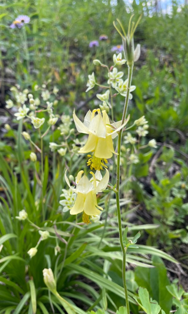
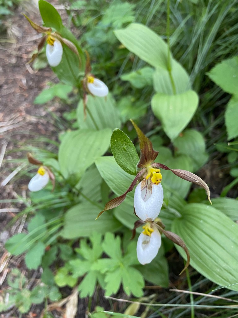
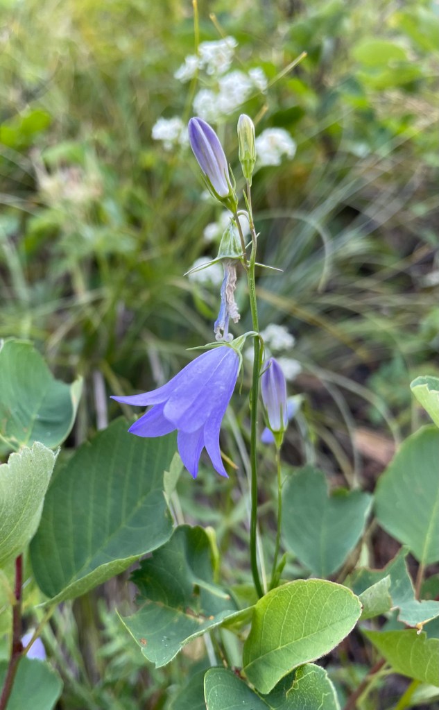
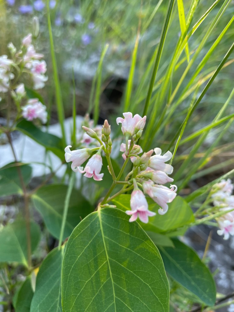
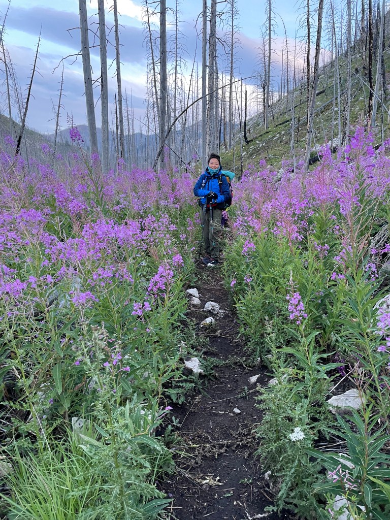
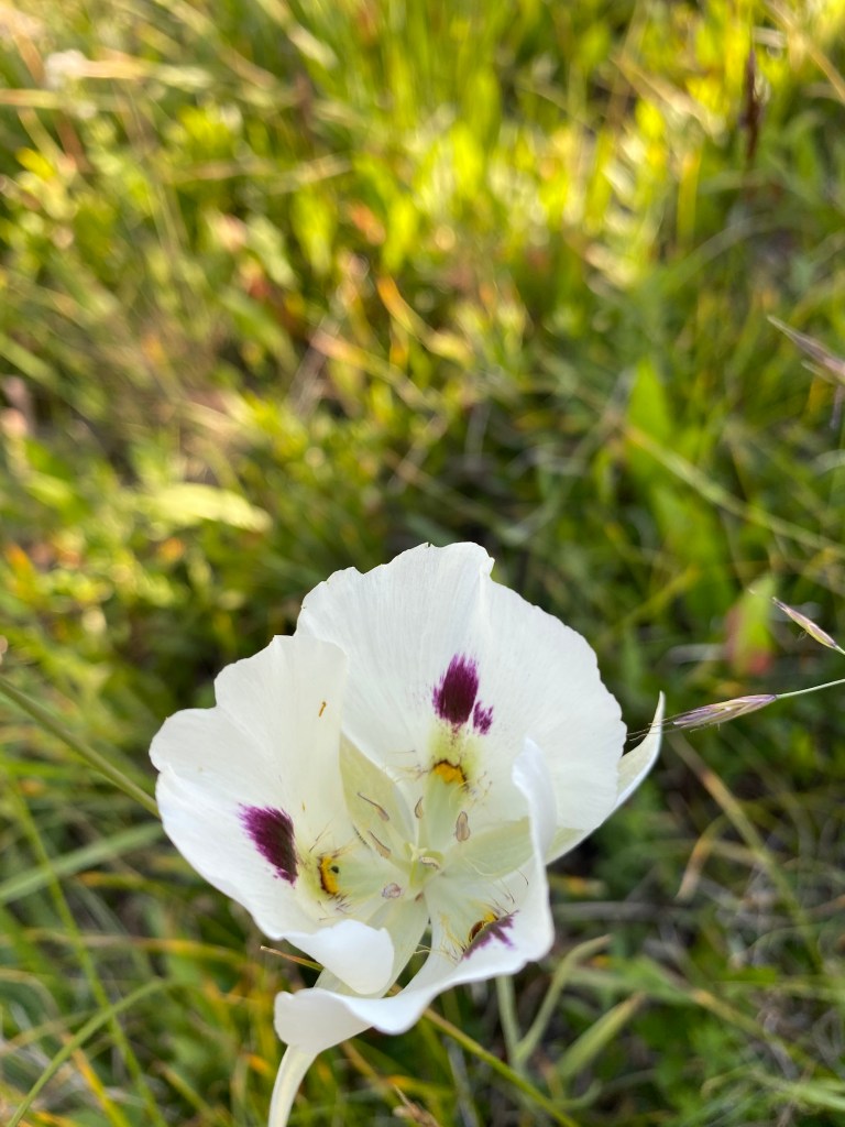
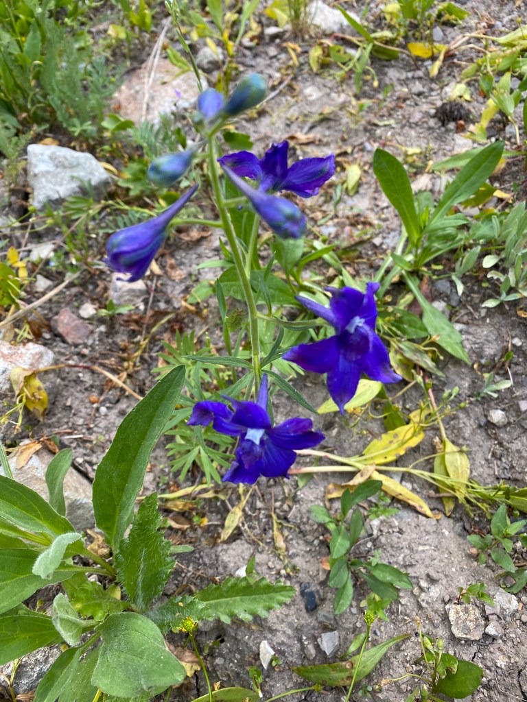
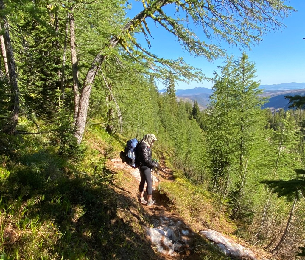
As I hiked to lower altitudes it became a beautiful hike through open areas of wild flowers broken by stands of forests.
By afternoon on the second day, I had hiked out of the forest into the Great Basin which is a high desert with no trees or shrubbery. Nothing growing over 12″ high and no relief from the extremely high temperatures. I struggled the rest of the hike into Rawlins hitching on the paved road walk and decided not to go onto South Pass as it was a continuation of the desert.
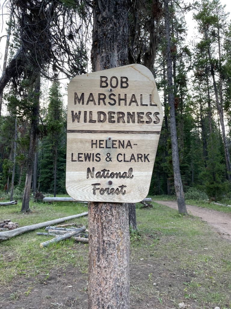
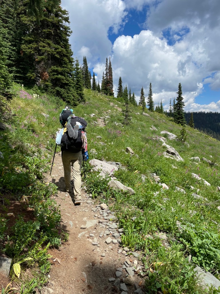
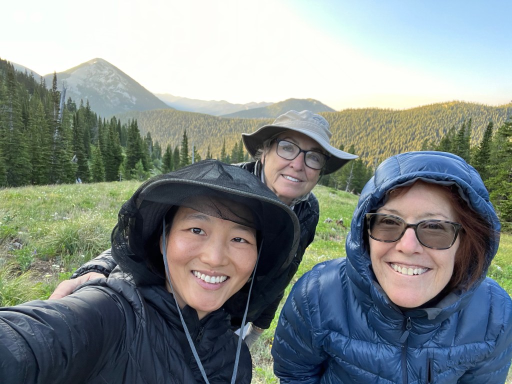
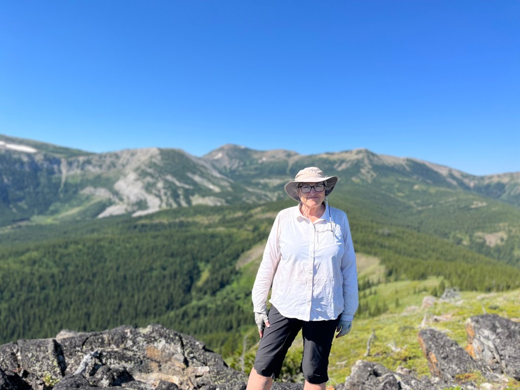
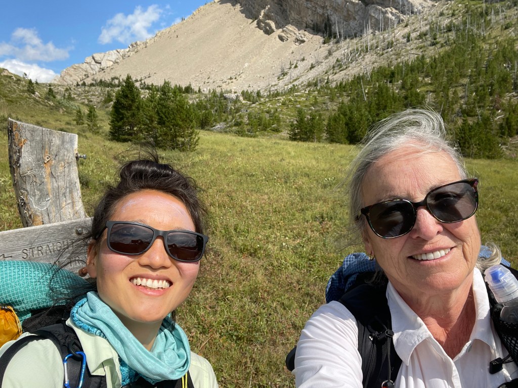
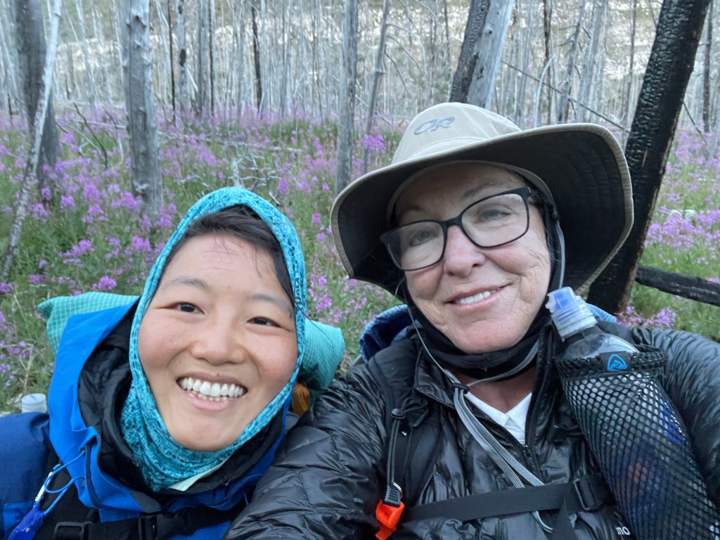
Hyojin and I took on the Bob Marshall Wilderness Area in the summer of 2022 starting back at Benchmark after bailing there in 2021. We were joined on this section hike by Shelley. Shelley’s husband, Bill, drove us to Benchmark and dropped the three of us off at the trailhead by Benchmark. Earlier we met up at Shelley’s place outside of Lincoln, MT. We planned to get a few miles in on the first evening after the drive in so the first full day of hiking would be less difficult.
The sun set as we started up the trail.
We camped the first night a few miles in as dusk overtook us. It wasn’t a campsite. We moved brush around to make a flat area to pitch the three tents.
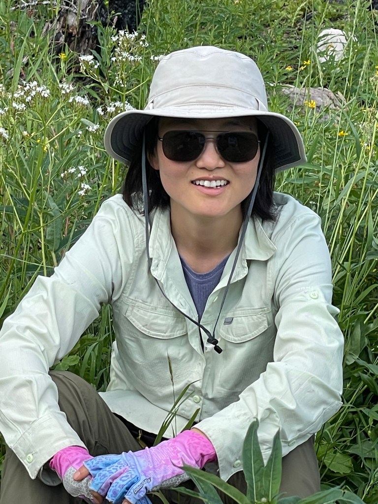
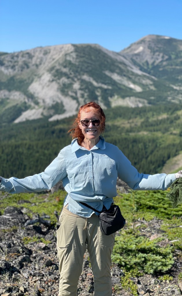
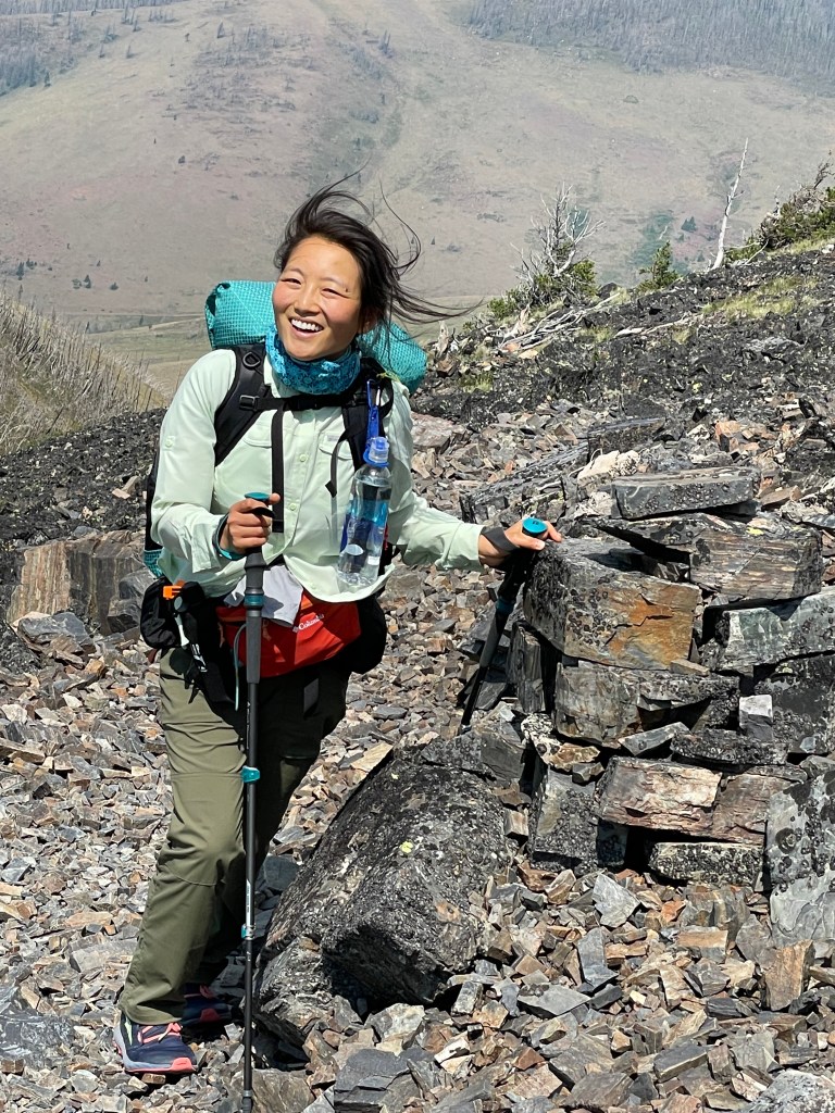
Hyojin, me, Shelley
After the first full day of hiking, on our second night, we camped a few miles before the Chinese Wall. We enjoyed a large campground all to ourselves next to a large rushing creek. It rained during the night. The only rain during this section!
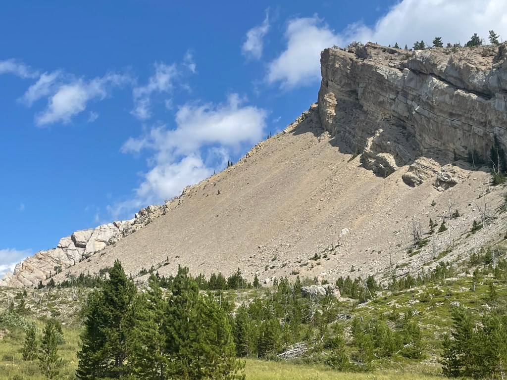
Our first glimpse of the first section of The Chinese Wall after any early morning climb up a steep section. Until this point we passed by or crossed paths with several hiking groups who were hiking in to see the Wall. After reaching the wall we saw only three hikers on the balance of this entire section.
The Wall is approximately 12 miles long and camping is not allowed along the wall. We needed to get to the wall and then walk the length of the wall before we could camp again.
It became exceedingly hot by the third day, well over 100 degrees. We cooled down at every opportunity. We swam in lakes and creeks at crossings during the hot hours of the day for the remainder of the hike.
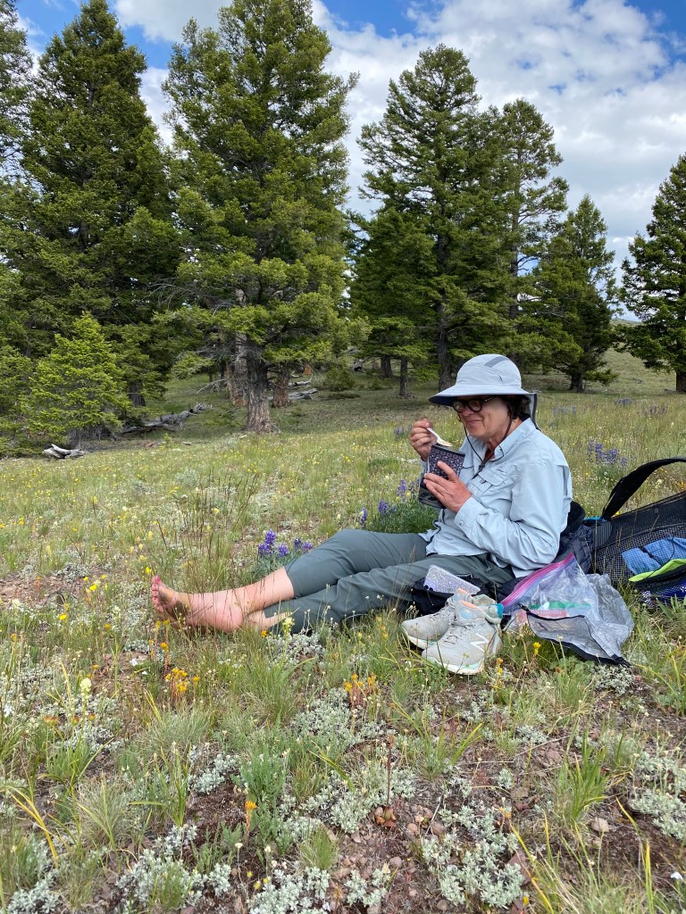
Meadow with wild onions on the fourth day.
Cold in the early morning.
Because of the extreme heat, one morning we started the trail at 3am. Soon we came upon a steaming pile of grizzly scat, with a trail of pee showing we had interrupted the bear. Shortly we came to a creek crossing and on the far side we saw wet grizzly tracks and splashes as the grizzly crossed in a hurry ahead of us. About a mile down the trail, I heard the bear crashing through the forest as it tried to get away from us. I have always been disappointed I did not documents that pile of poop and the tracks out of the water with my iPhone camera.
After sunrise, Hyojin and Shelley were ahead of me. When I caught up, Hyojin was filming two grizzly cubs in a tree. I explained we needed to make tracks and get out of dodge FAST, not wanting to face an angry mommy bear.
Early in the morning July 31st.
It was so hot I cut the legs off of my favorite hiking pants. I’ll probably regret this.
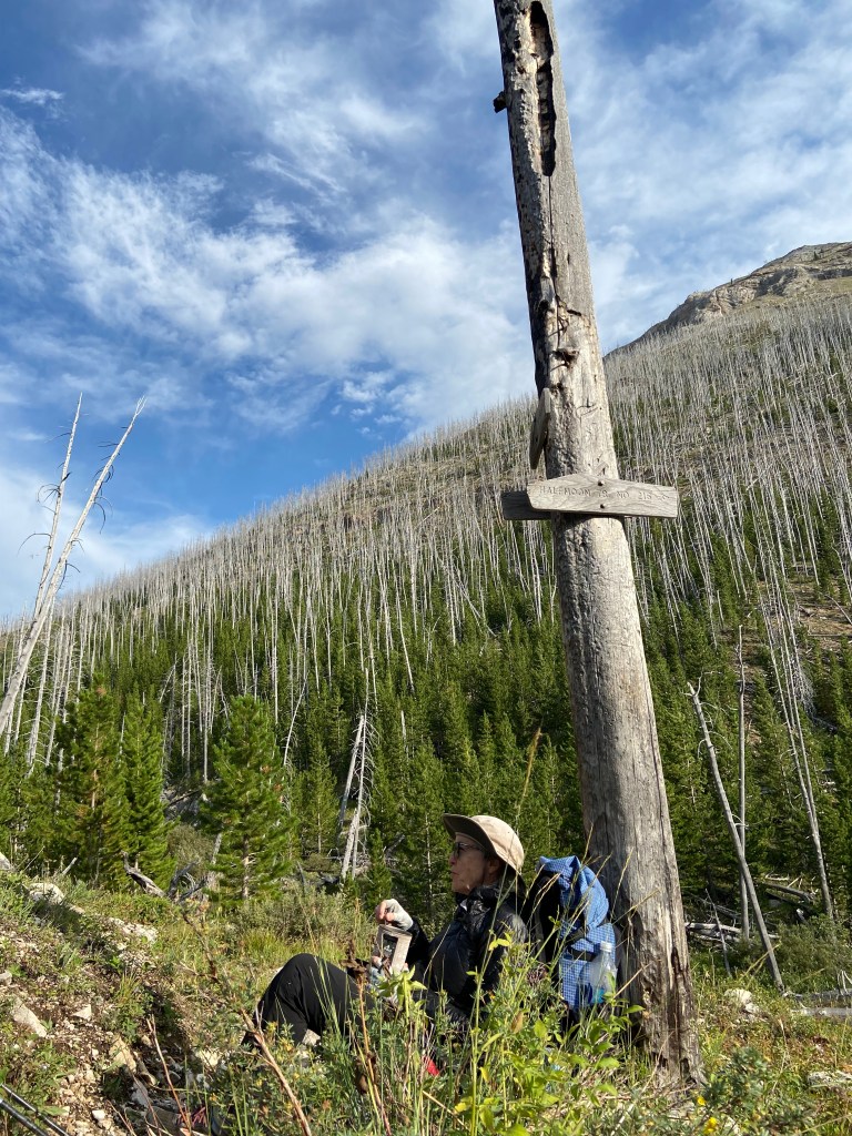
Looking back at one of our morning climbs.
Hyojin and me at Marias Pass as we start our road walk into East Glacier, August 1st.
A celebratory drink and food in Missoula on our drive home.
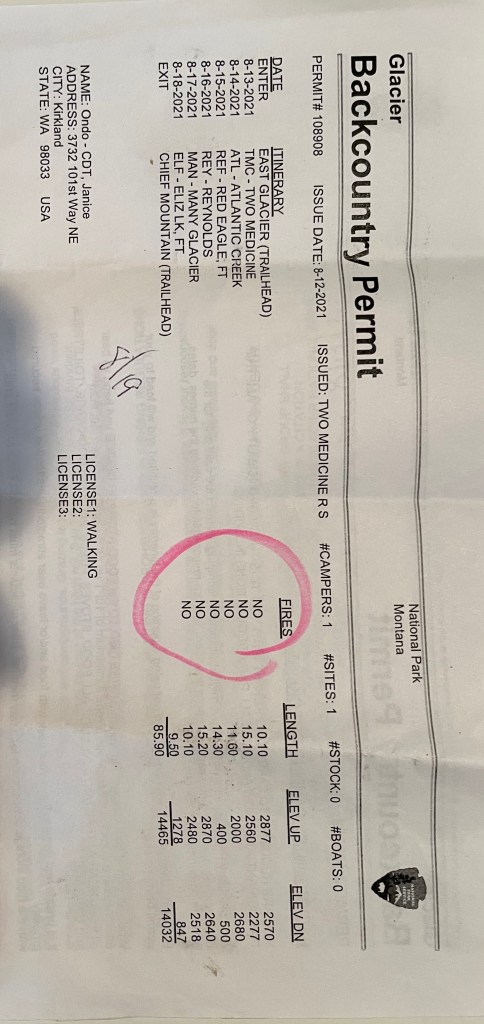
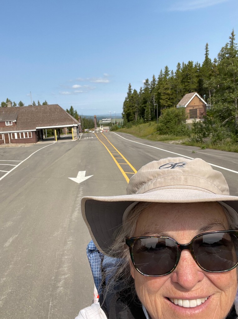
My Back Country Permit was issued in Two Medicine. I asked for miles between 10 to 15 miles per day and let the Park Ranger designate the camp grounds. I stayed at the East Glacier Lodge two nights as all the hiker hotels were booked.
While waiting for my permit, a grizzly bear walked through the heavily tourist area nearby causing a stir with the rangers.
Before I left for Two Medicine, I walked down to purchase my train ticket home on the 19th and ran into a hiker, trail name Fenway, Joyce and I met Fenway hiking the CDT in New Mexico. Small world. He was getting ready to catch the train going home in Park City, UT after completing The Bob. He had done Glacier National Park the previous year with his daughter.
Two Medicine Campground.
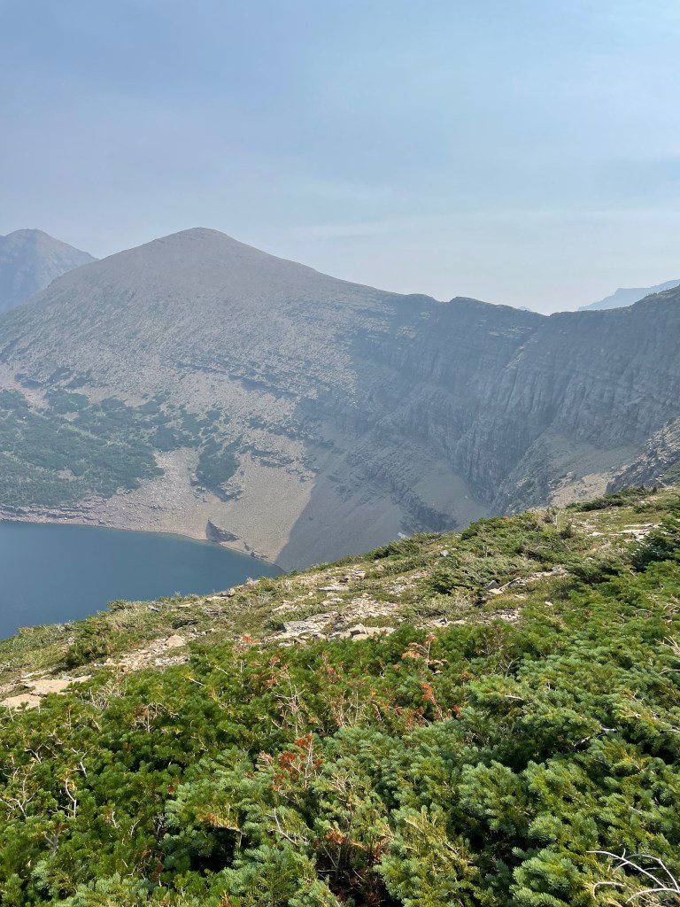
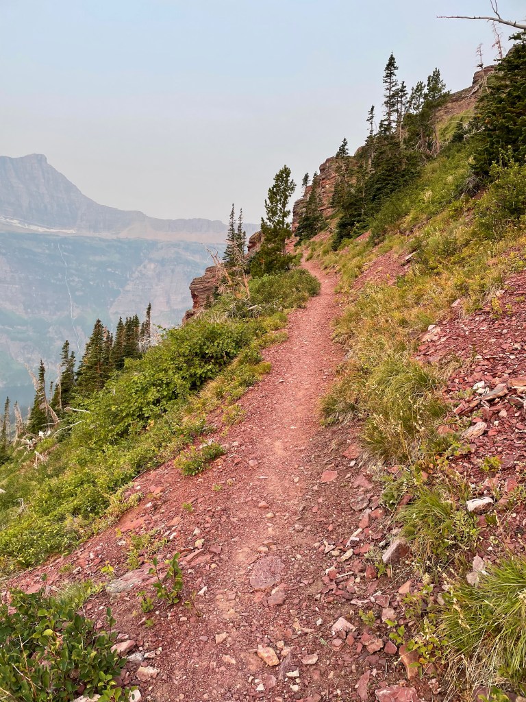
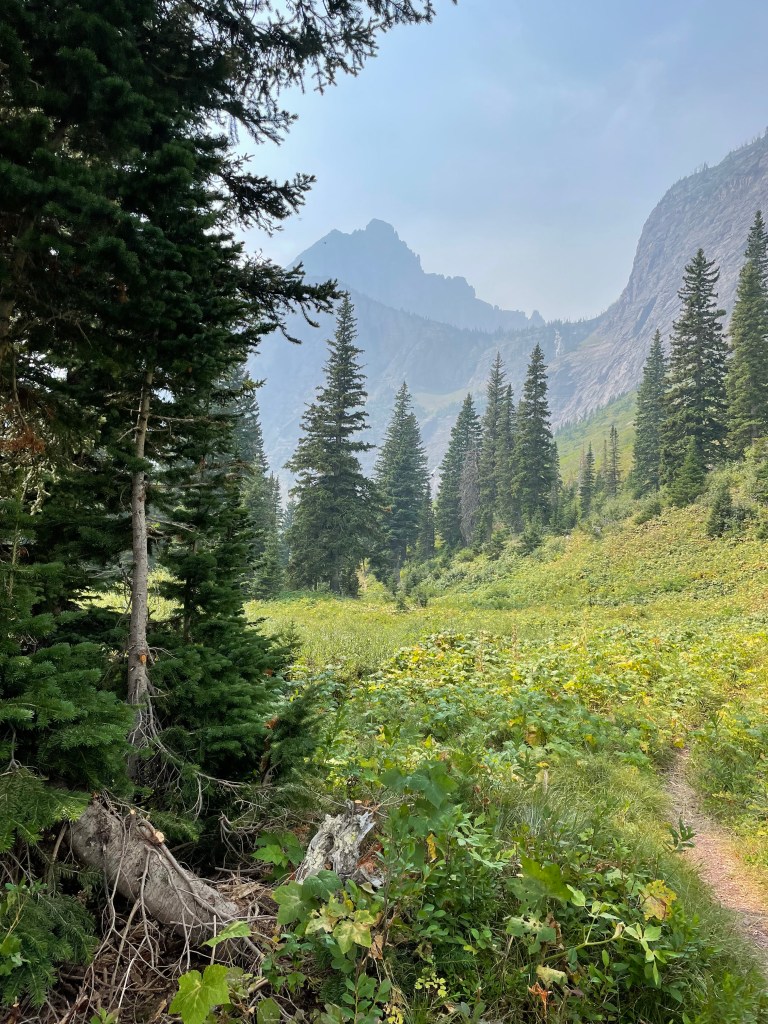
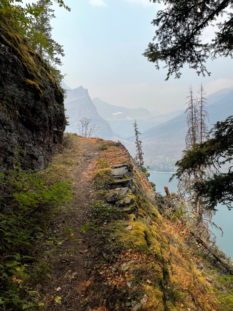
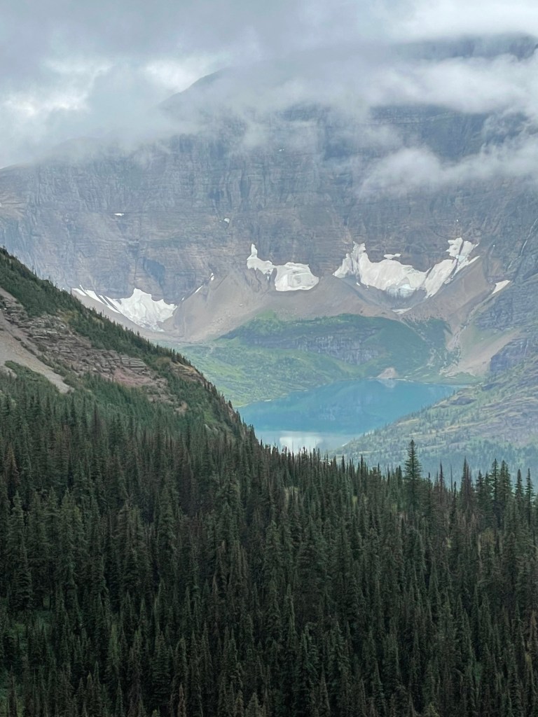
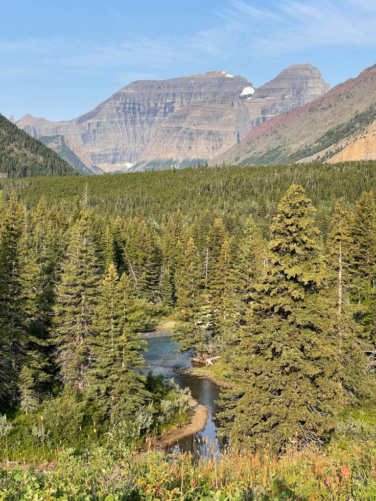
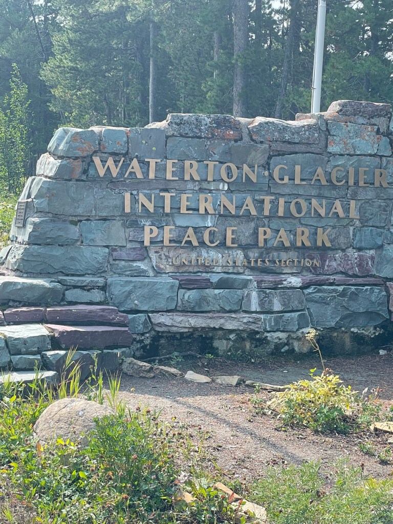
Glacier National Park is heaven to hike.
Pitamakan Pass on the first day.
Pitamakan Pass.
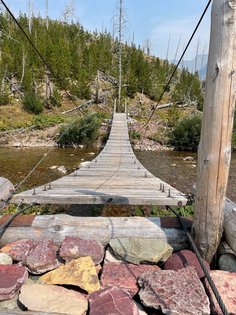
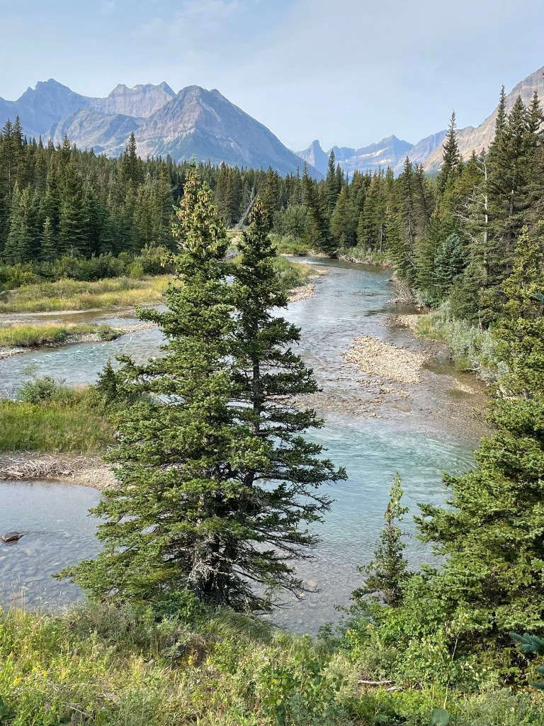
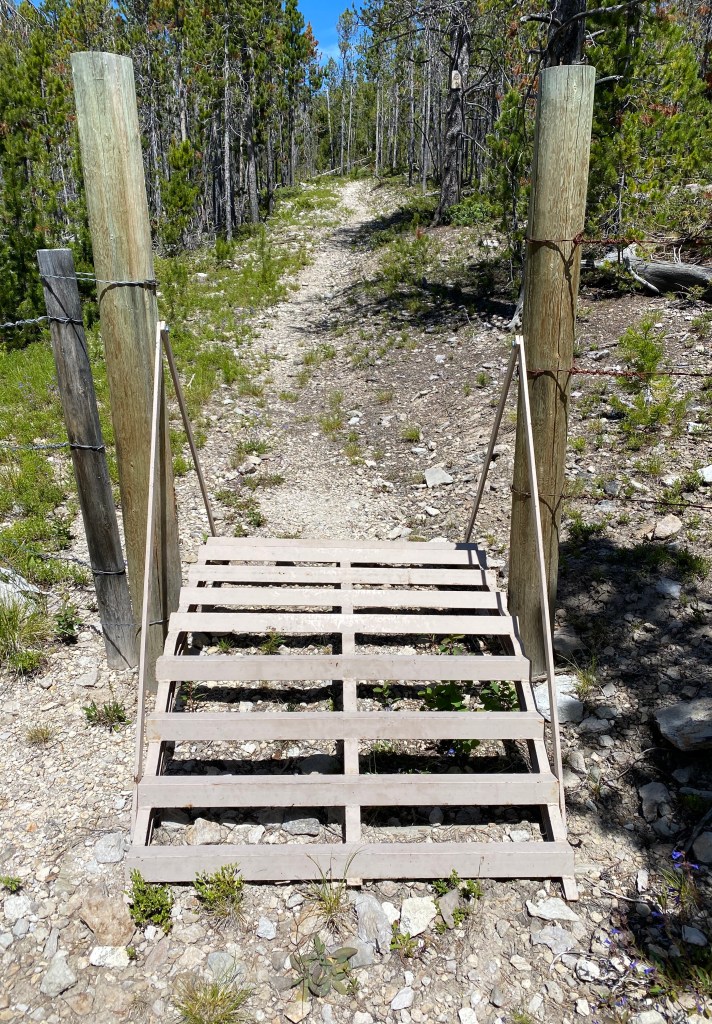
Trilled with all the bridges over water.
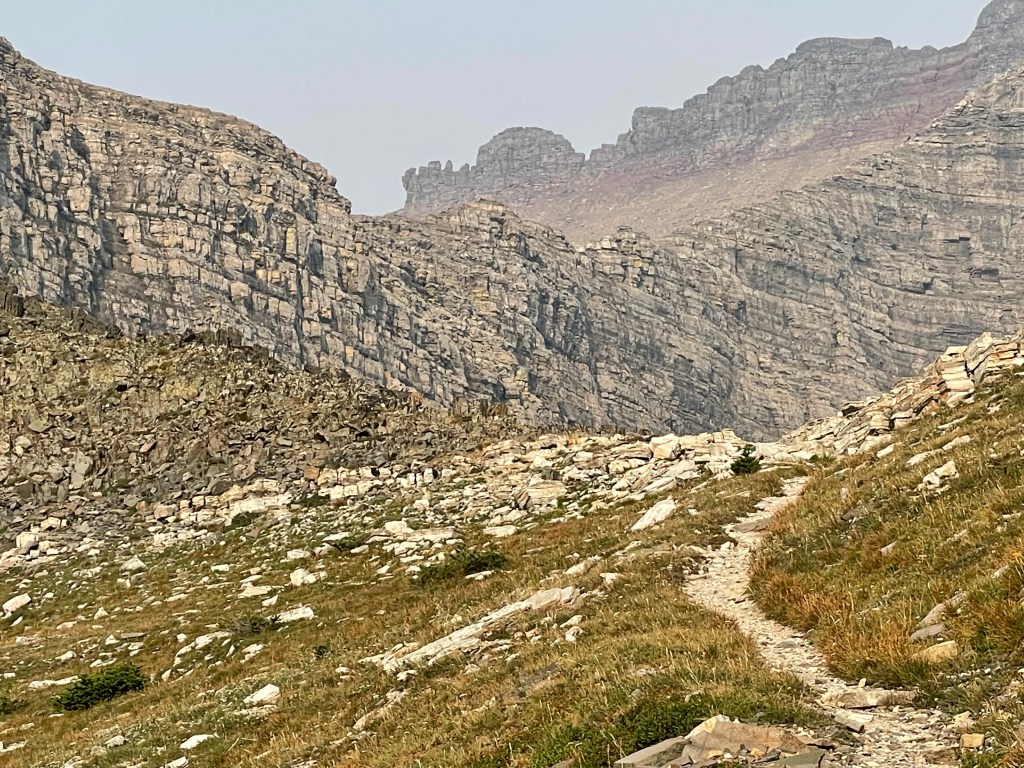
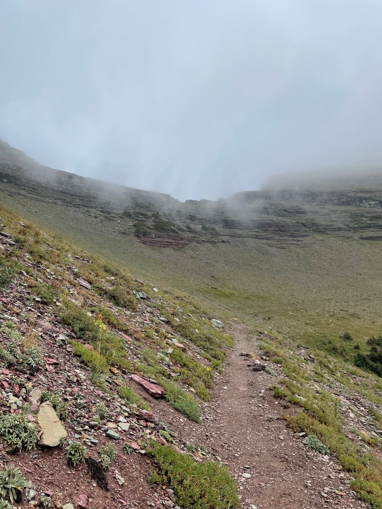
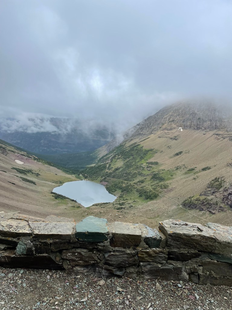
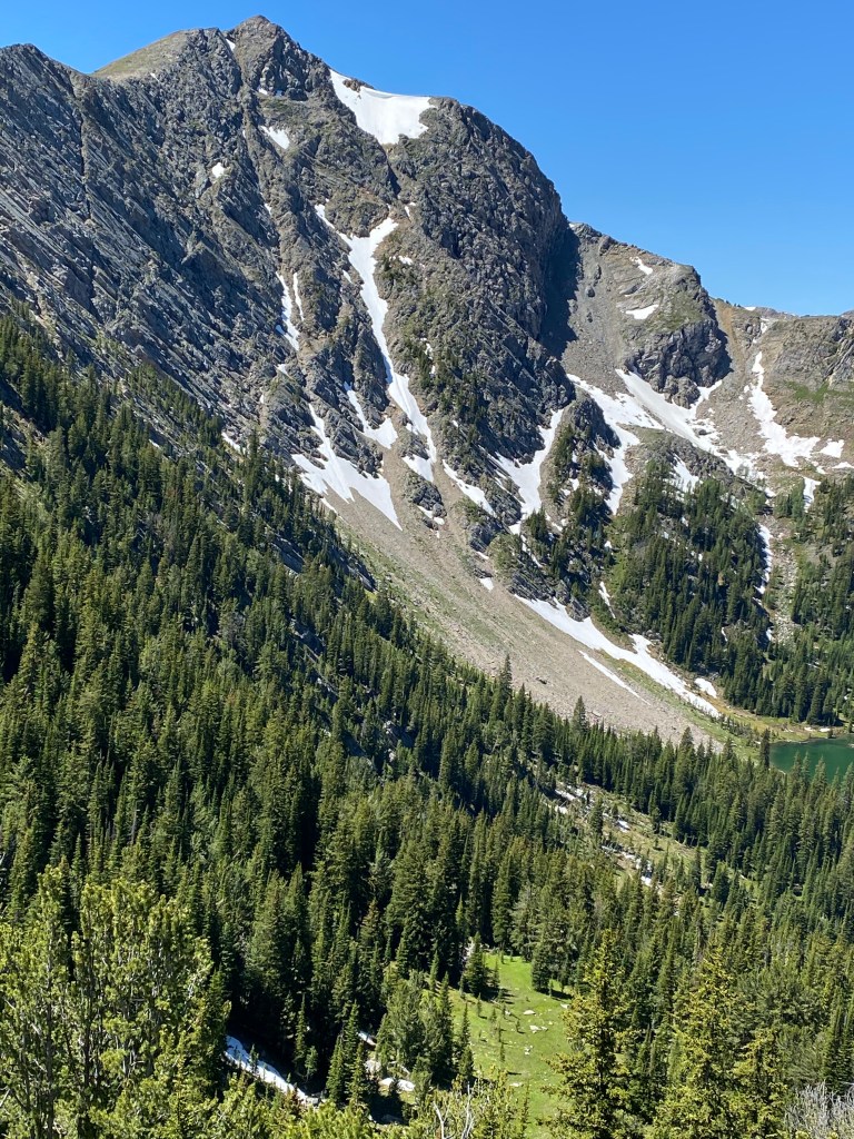
Headed up Triple Divide Pass on day two.
Triple Divide Pass.
Looking ahead coming off Triple Divide Pass.
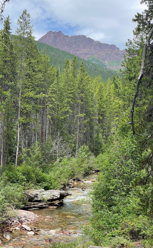
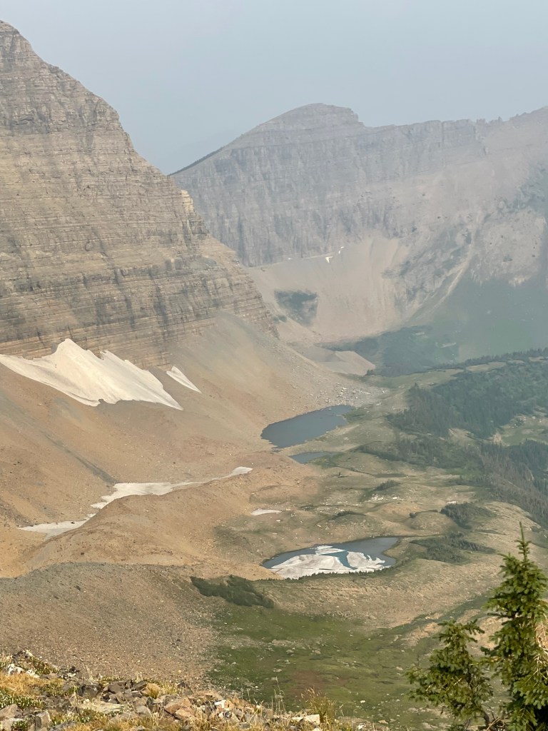
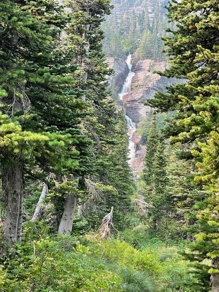
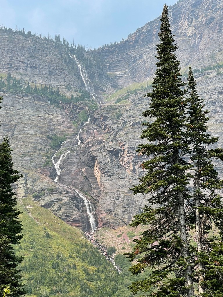
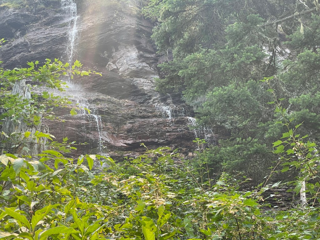
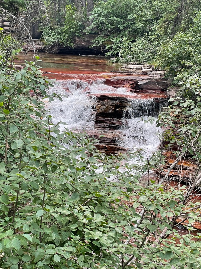
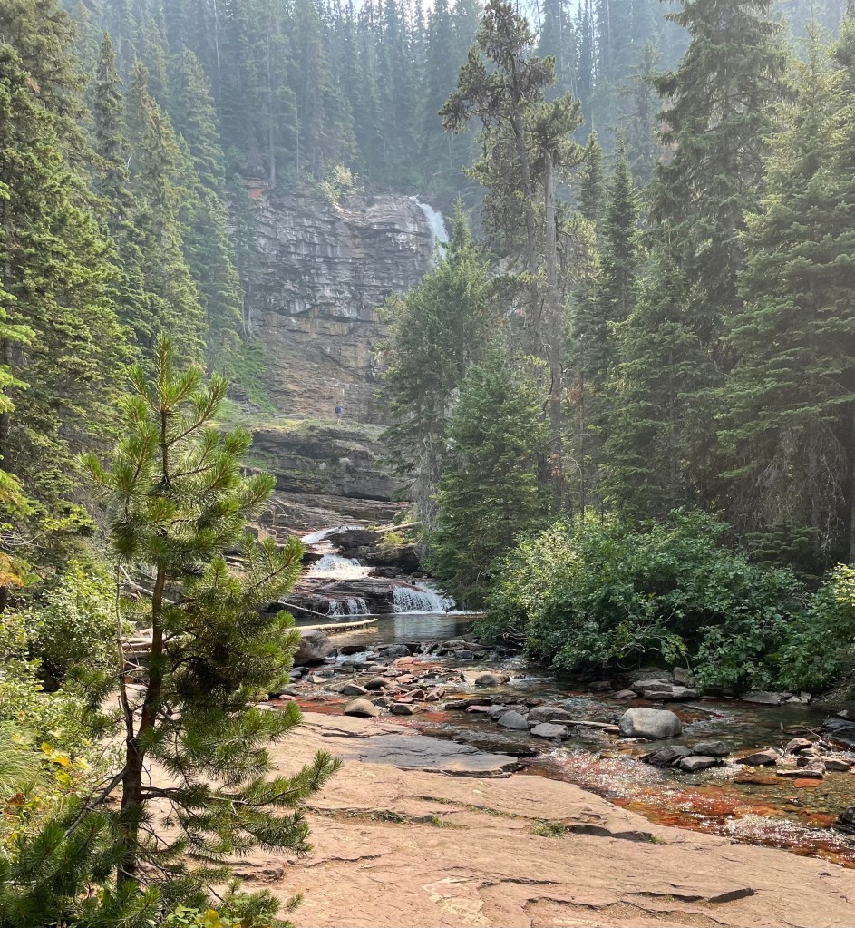
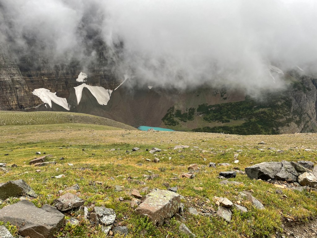
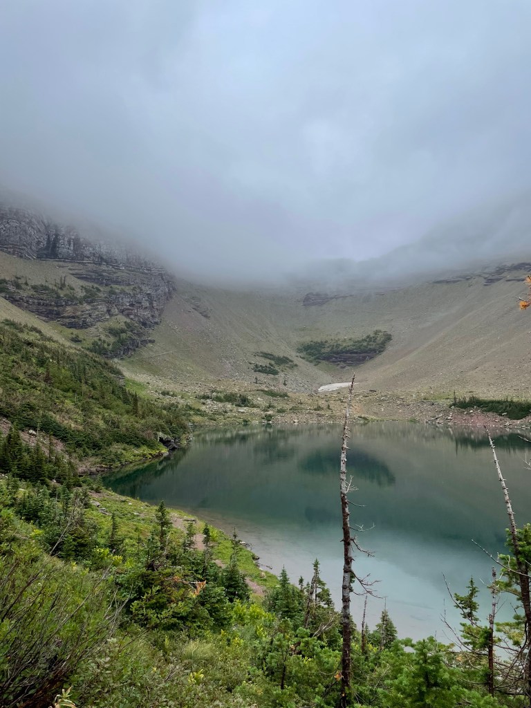
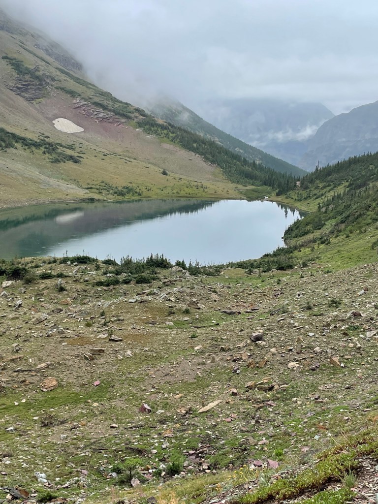
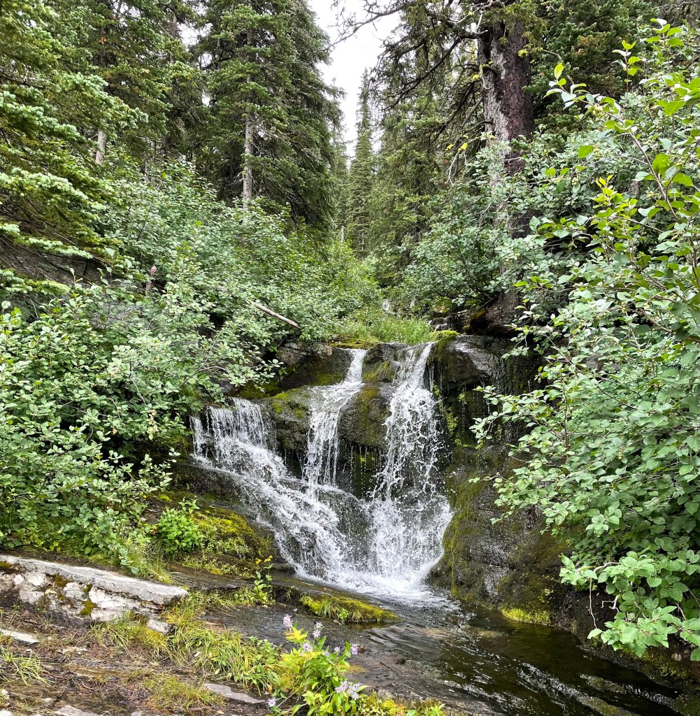
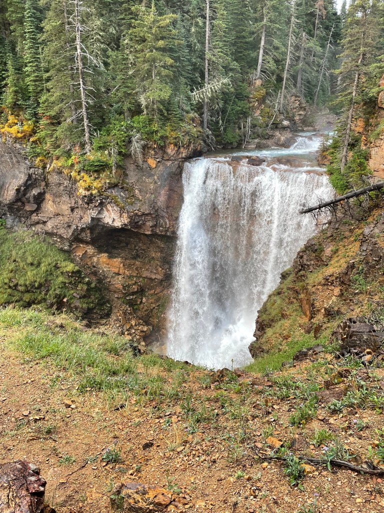
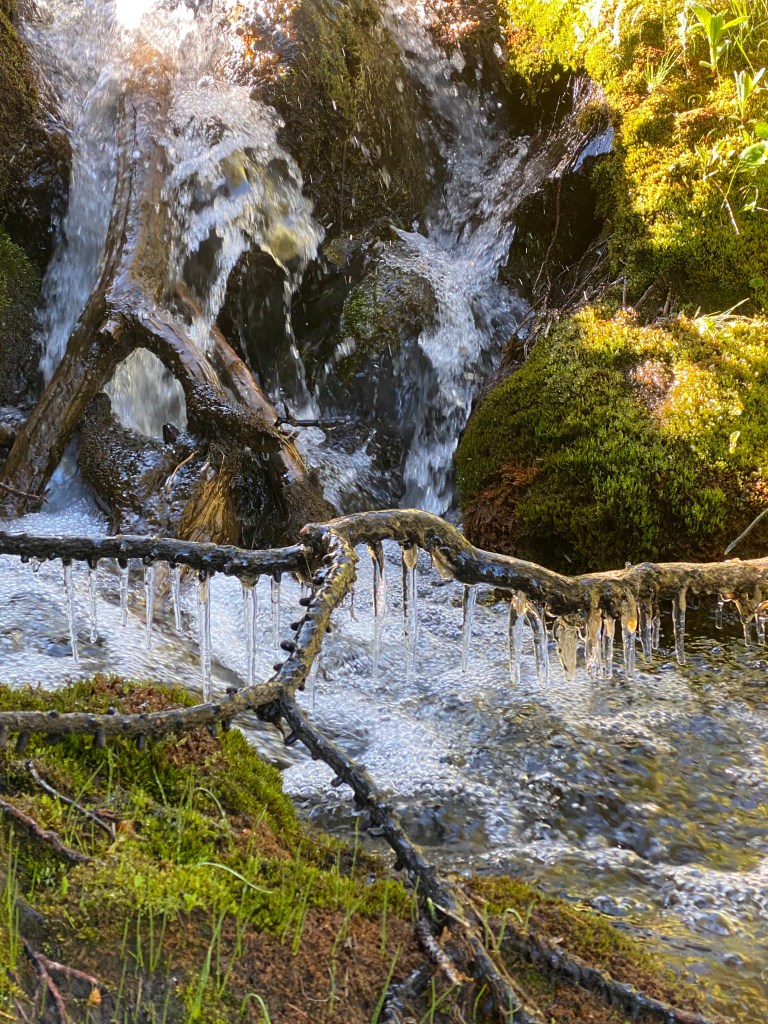
Long valley walk headed to Red Eagle Lake with waterfalls along the way.
Bridges over water! It was so extraordinary to have bridges, I think I have a ton of bridge photos.
On the trail, first thing in the morning leaving Red Eagle Lake campground.
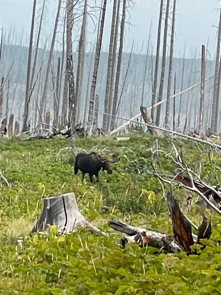
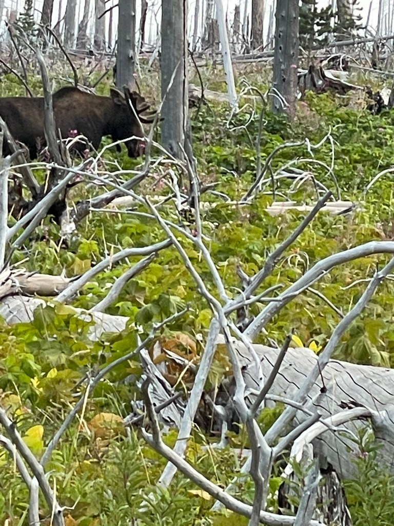
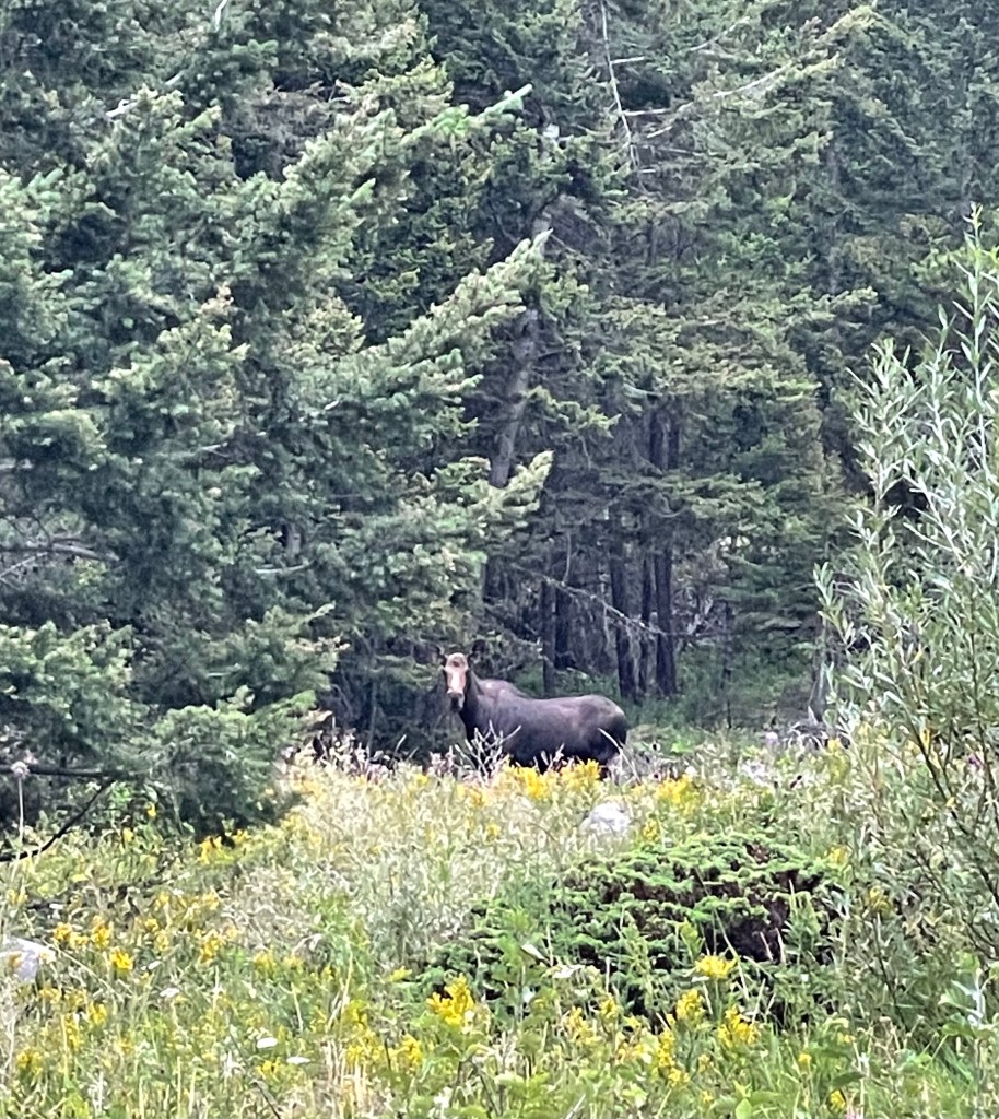
Had to wait for the moose to get off the trail.
At sunrise, there was a fox on the trail ahead of me. It pays to get on the trail early for wildlife viewing.
Hope I’m not too heavy…
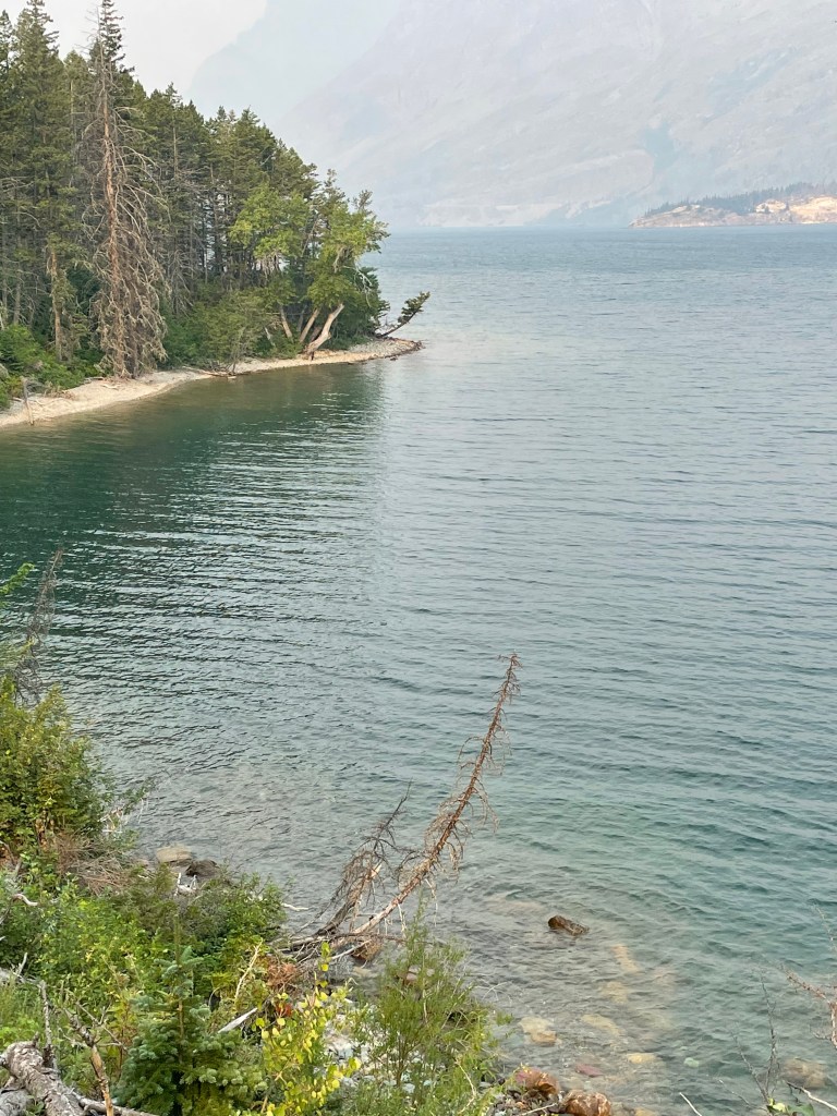
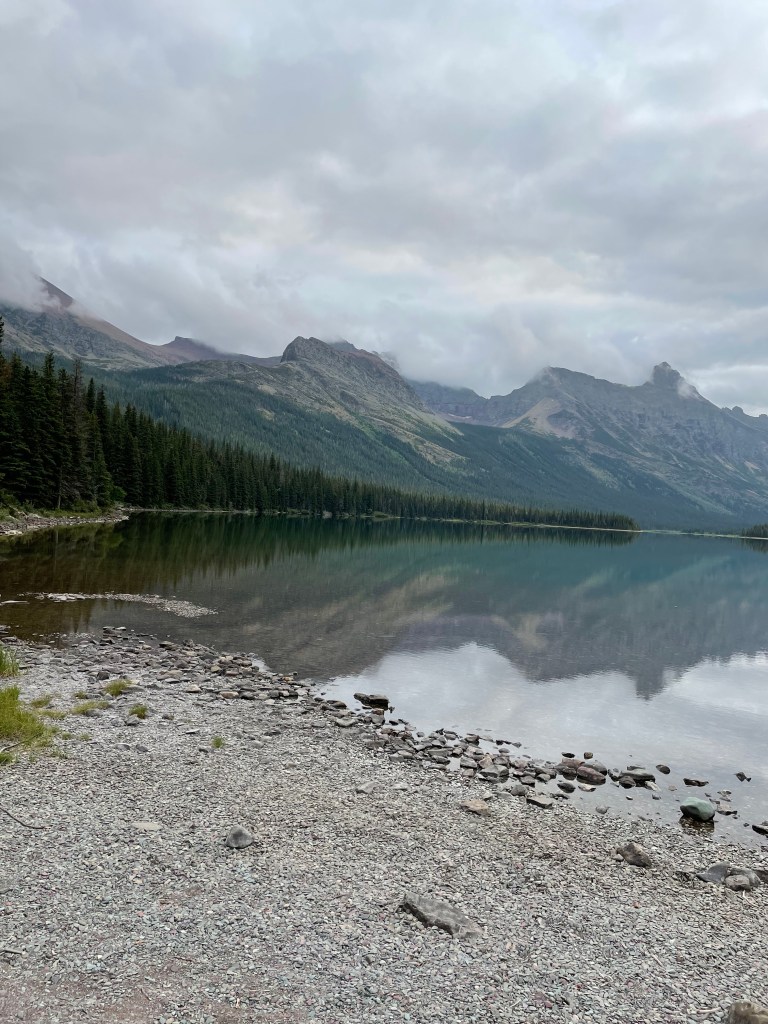
St. Mary Lake.
The day spent hiking with St. Mary lake on right side of the trail and waterfalls on the left side of the trail.
At the last waterfall I started running into herds of tourists.
That evening I camped at the Reynolds campground a mile or so below the Going to the Sun Road. I was warned by the rangers there had been heavy bear activity reported in the area. Perhaps this is the reason I was the only person to spend the night at this campground on this night.
At 3am in the morning, I turned over on my noisy NeoAir mattress and scared a bear sniffing me through the tent. The bear made a lot of noise getting out of there. Bears cause a lot of crackling noise when running through the forest.
I was unable to get back to sleep and went ahead preparing for the day ahead.
Before reaching the road where the trail crosses the Going to the Sun Road, it started to rain and this time I stopped and put on all my rain gear: rain coat, rain pants, rain glove covers. It rained all day. Sometimes lightly and other times heavily. I was happy my hiking pants, shirt, Smartwool layer, and gloves stayed dry all day underneath the rain gear.
Looking back down through the rain to the Going to the Sun Road below.
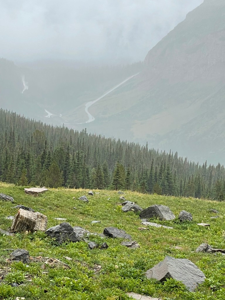
Headed up Piegan Pass.
Dropping off Piegan Pass headed to Many Glaciers was as if I had gone to heaven. I have never seen a place as perfectly beautiful. Because of the rain I didn’t shoot many photos and the photos taken do not capture the beauty of the descent off Piegan Pass.
After reaching the valley, the last last few miles into Many Glaciers the trail was ankle deep in mud from tourists on trail rides.
By the time I arrived at Many Glaciers I decided to bail on camping in the rain and snagged the last room available at the lodge.
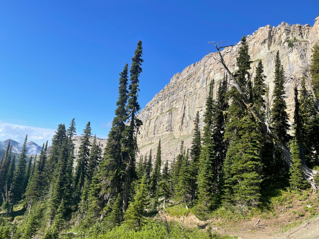
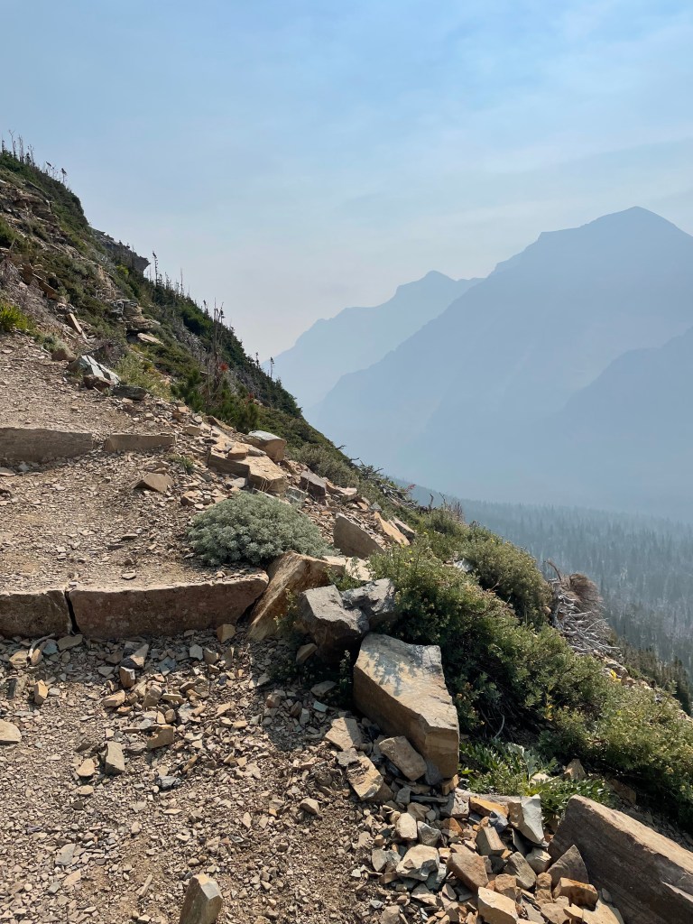
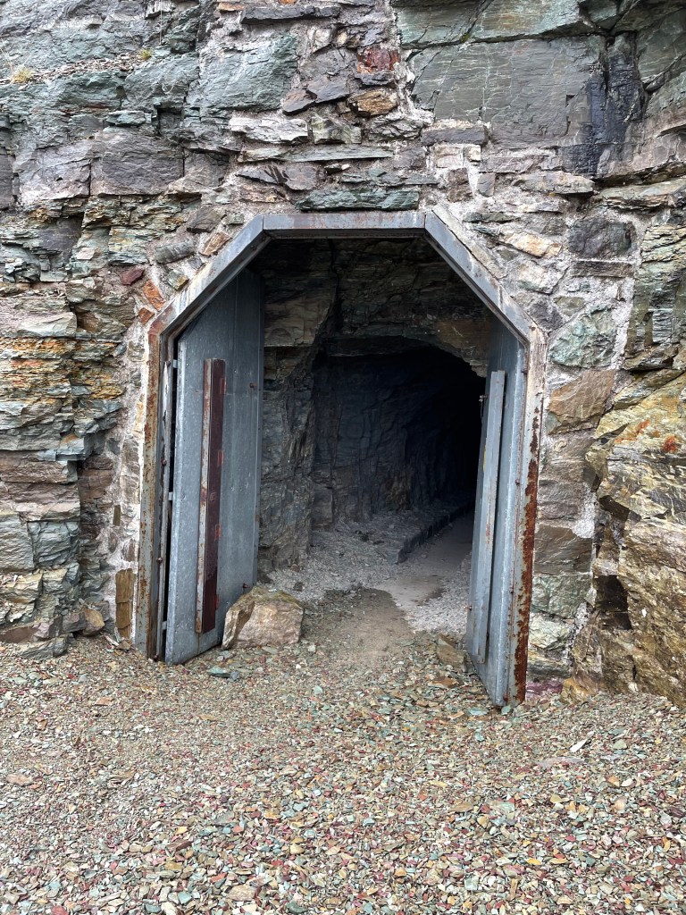
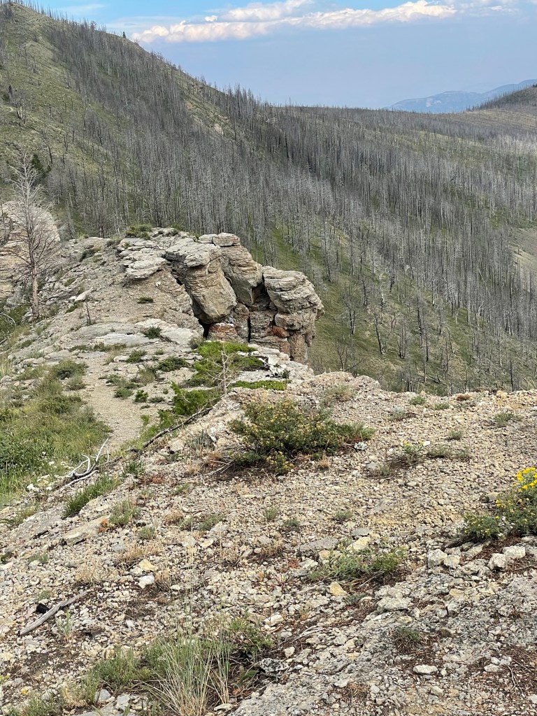
The next morning it was foggy but not raining as I started up Ptarmigan Wall Trail.
Looking back at my progress.
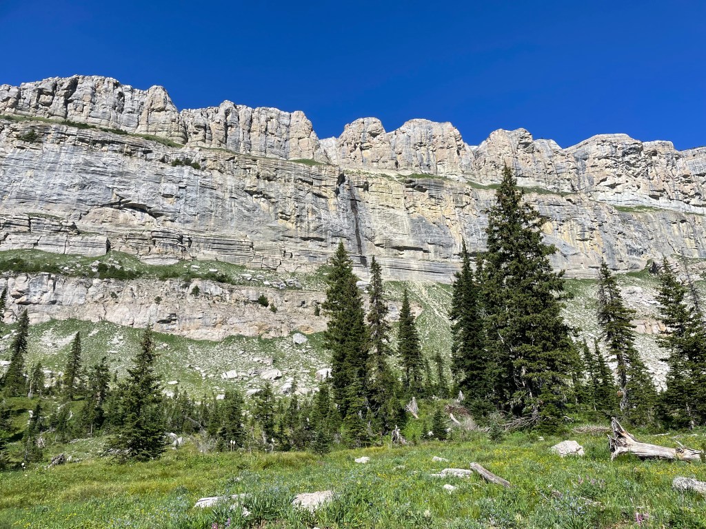
Tunnel through the wall at the top.
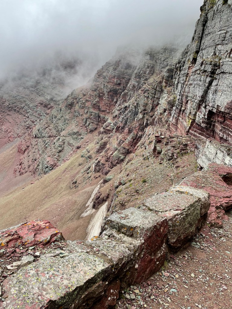
Looking ahead after coming out of the tunnel. A woman and her horse fell to their death from this point (not while I was there).
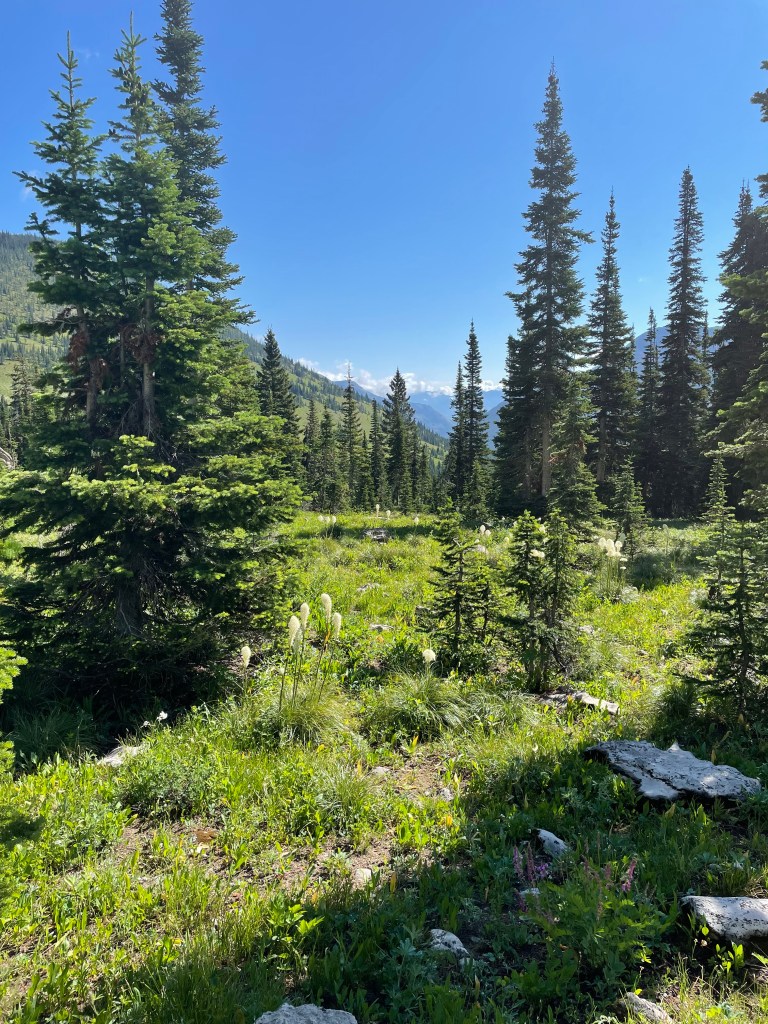
The trail ahead off the pass.
Looking back up after part of the descent.
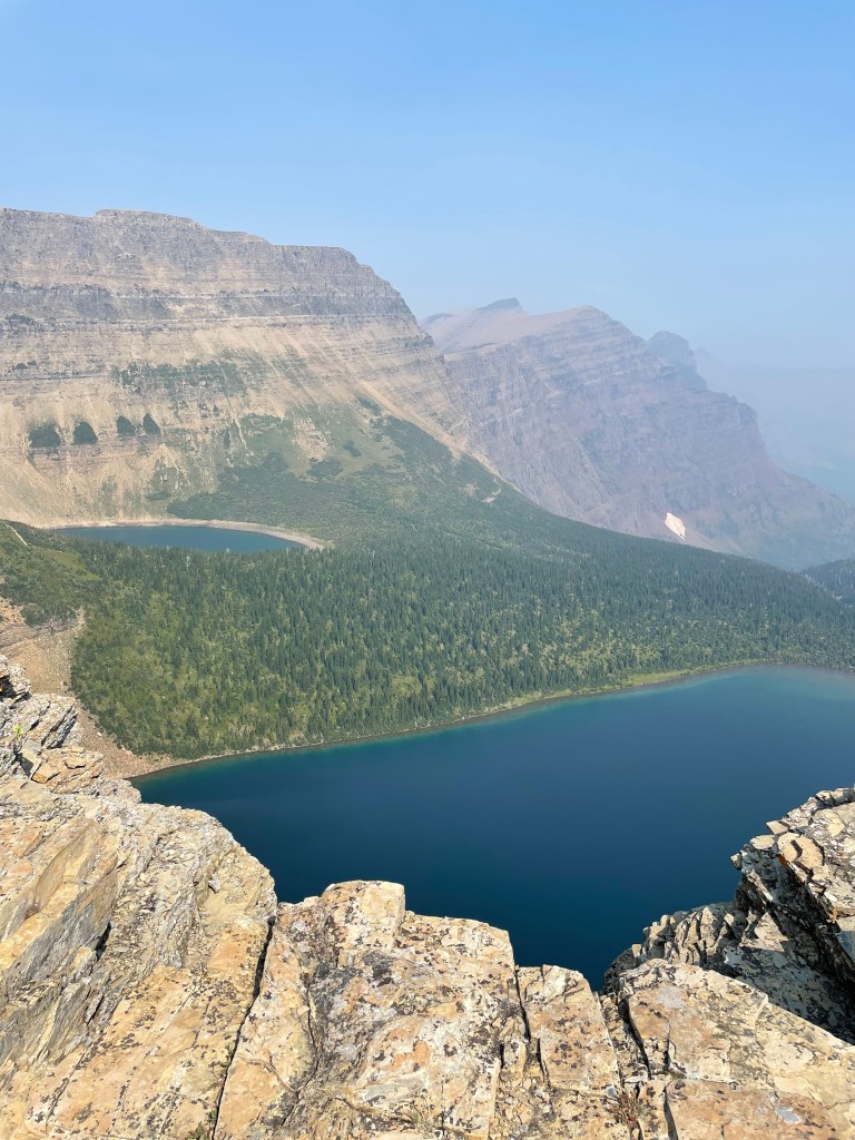
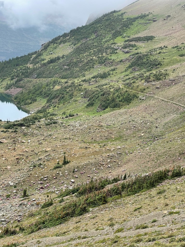
Headed for the lakes below.
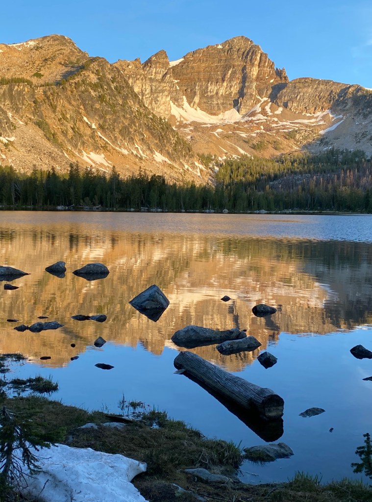
The campground at the foot of Elk Lake. My last night.
The clouds lift off Elk Lake.
One last waterfall on the morning of my last day.
A beautiful morning to end my hike.
One last look back before I turn to hike quickly to Canada.
A few miles before the end of the trail, I ran into a few day hikers. Last, I ran into a couple on horseback on a day trail ride. The woman got off her horse to cross paths with me explaining her horse had been nervous and jumpy on this morning. This should have been a heads up for me. Instead I was racing to the end. One mile from the end of the trail I turned a corner through a berry patch and ran into a bear. Don’t ask me if it was a grizzly or black/brown bear. The bear hurried off running one way and I ran up the trail the other way. I didn’t stop to analyze the bear type.
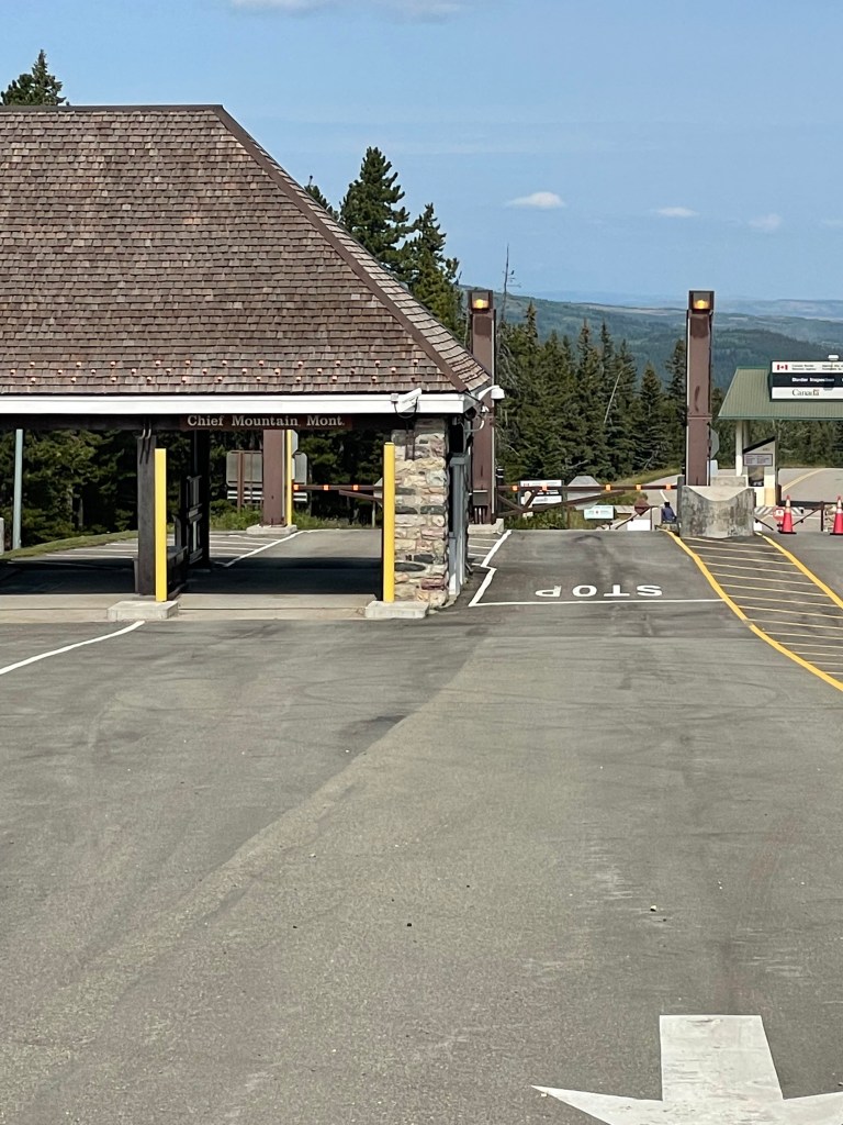
Awww, Canada.
I met my expensive taxi ride back to East Glacier for the evening train home to Seattle. Luckily, I had time to shower and wash my clothes before boarding the train. There is a laundry and showers conveniently located next door to an ice cream store in East Glacier.
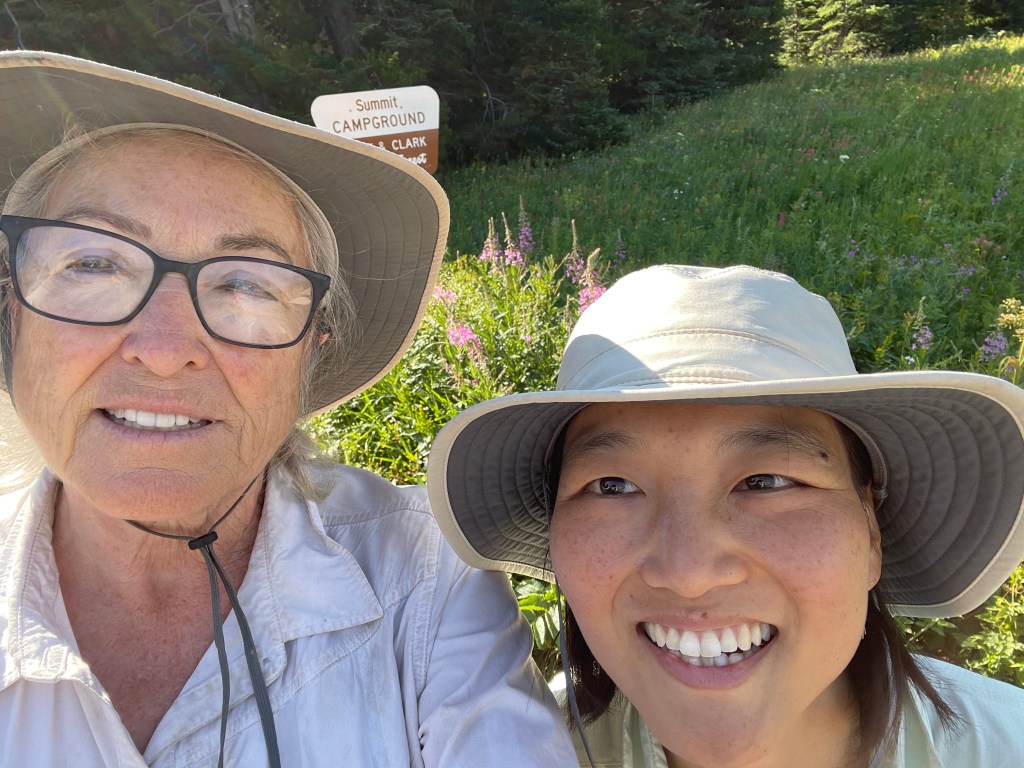
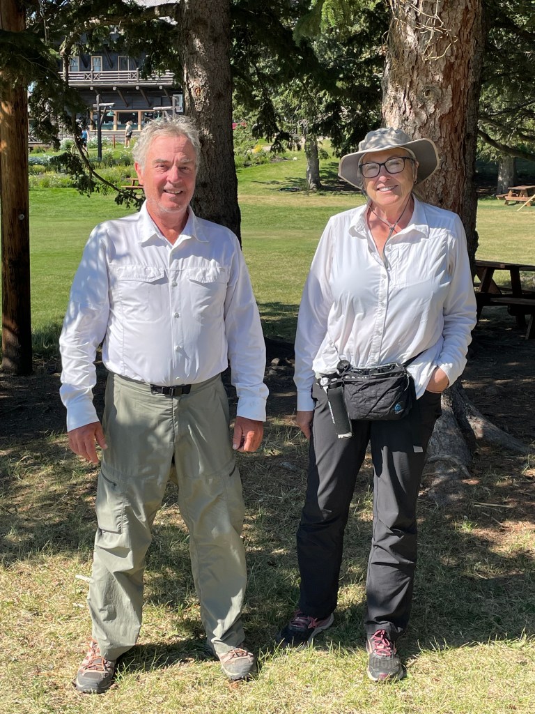
Hyojin, my niece, joined me in Lincoln after flying into Helena and taking an uber to Lincoln. It was Hyojin first backpacking expedition. The plan was to hike to Benchmark and through the Bob Marshall Wilderness to East Glacier where Hyojin was returning home while I was planning to continue alone through Glacier National Park on the CDT.
We hiked out of Rogers Pass and spent all day hiking uphill. We camped as soon as we neared the top dropping off the trail to a flat spot for our tents. It was an interesting night. Hyojin heard a large animal near our tents, perhaps a bear or deer. I was in the habit of leaving my socks hanging between the tent and the fly to air out in the night. During the night some small critter took one of my socks, a first for me. Lesson learned, never leave your socks outside of the tent.
We experienced a beautiful sunrise in the morning. And then we soon started seeing large grizzly bear tracks and bear scat along the trail, both extremely large prints and baby bear prints. We both carried bear spray but it was unnerving to observe. However we did not see or hear bear activity.
Hyojin slipped on this loose rock going downhill soon after this photo was taken and her knee started to become painful.
Our second day was an interesting combination of trouble. By mid morning it was hot. When we arrived at a lake that was shown to be a year around water source, the lake was absolutely dry. We were both out of water so we had to go off trail in search of water. After much searching in every nearby green cranny within 2 or 3 miles we located a small barely dripping spring and loaded up our water bottles.
We began the long accent of the next mountain refreshed with water but overly warm. As we climbed, the clouds descended and it began to sprinkle slightly. Being hot at first it felt good and neither of us stopped to put on rain gear. By the time we reached the top the rain was falling heavily. We put on the rain gear over our wet hiking clothing. Suddenly we were on a ledge with high wind gusts and heavy rain blowing sidewards. The strong wind was difficult to walk forward into but we needed to get off the ledge and were forced to ease our way forward and off the long ridge cautiously leaning into the wind to keep from being blown off.
Once back in a valley, we stopped and put up our tents for a dry place for lunch in the steady. Hyojin smartly only put up her fly. I was wet and cold and made the decision to put up my entire tent and fly. I made hot tea to help stop my shivering. I was close to the point of not being able to go forward.
After lunch Hyojin pushed me to pack up and try to get our miles in for the day. My tent was completely wet and I loaded it on the outside of my pack. By the early evening my water proof gloves were entirely wet. We made it to a creek as we completed our 17 miles and decided to cross over before camping.
I had to set up a completely wet tent and make the best of it by stripping off the wet clothing and getting in my base layer which serves as my pajamas. Luckily I was cozy in my sleeping bag on the full size NeoAir sleeping pad. Hyojin had a dry tent but was cold because she had purchased a sleeping bag recommended by a REI salesperson and was finding it unsuitable for the cold CDT weather. Under the circumstances I slept well. Hyojin slept little and was cold the entire night.
First thing in the morning we had to cross another creek, so much for keeping our feet dry in the morning. My hiking pants and shirt were still wet and I hiked out of camp in my base layer/pajamas. We did have intermittent sun breaks during the day and we stopped each time the sun came out to dry out our gear.
It was a day of stepping over grizzly bear scat and seeing grizzly marks on the trees, but again no bear sightings.
Dinner time on the trail.
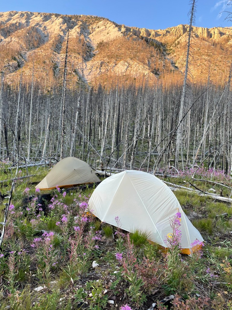
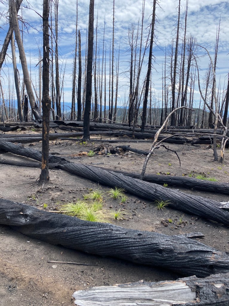
Long day, early night in a burn area.
Early morning of our 4th day. Planning to make it to Benchmark Wilderness Camp. Hyojin’s knee is swollen and she is having trouble walking although she still manages to hike faster than me.
Because we are eager to reach Benchmark today, when Hyojin makes a pit stop, I hike on being the slower paced hiker.
After a few miles, the CDT takes a 90 degree turn off the trail to cross a river and go over the last pass before the Benchmark cut off. I stop at the river waiting. When Hyojin fails to appear I walk back a couple of miles. No Hyojin. From the GPS I see that the trail going straight is a short cut to Benchmark and assume she missed the cutoff and will realize her mistake and keep going. Because I am hiking the CDT, I stick to the CDT. After crossing the river the way up the Pass is covered in blowdown. When I reach the top, I start hiking full speed so that I can reach Benchmark as quickly as possible.
A couple of hours later, I meet two forest rangers on horseback with mules carry equipment to clear the blowdown. I tell them I have become separated from my niece and am worried about her since she is having trouble with her knee. I ask them to let her know they have crossed me should they run into her. These are the first humans seen on the trail since crossing paths with a lone hiker on the first day shortly after starting the trail.
Taking no breaks and not stopping for lunch I reach the cutoff early and road walk to the ranch arriving about 4:00pm. There is no one around. No Hyojin. I am tired from hiking and crossing the rivers and decide to rest before hiking back to the trail. There is a note for me from Darwin, owner of the ranch, saying he will arrive from a packing trip to let us into our cabins. I wait and wait.
When Darwin arrived, I asked him to drive me the 2 miles back to the trailhead so I can hike back to find Hyojin. I explain I cannot face my family if I have lost my niece. He agreed and we loaded into his truck and headed back up to the trail. Soon we see Hyojin walking toward us. It is a happy sight!
It turns out she did not realize her mistake and had gone 2 miles down the wrong trail, then turned back to the CDT and had rushed to catch up with me. When she came upon the rangers, the young and extremely handsome lead rangers wearing sunglasses and with a very serious expression had stopped his horse and simply asked “Are you the niece?”
After we checked in and showered we met up to make a decision about whether or not to continue the hike. I was worried about Hyojin’s knee being swollen. We had resupply for 8 days it would take to arrive at our planned destination, East Glacier, but each had extra food in our resupply as there are not restaurants or food service at the wilderness ranch.
The decision we faced was to slow our pace and take 10+ days to hike to East Glacier which Hyojin was willing to attempt. I was worried about not only her knee but I doubted my own ability to carry 10+ days of food as 8 days is my maximum carry. We finally decided it was best to return next year for the Bob Marshall Wilderness. We hitch into East Glacier where Hyojin took the train to Seattle and on the Portland to return home. I took two zero days to arrange the permit to hike on through Glacier park on the CDT alone.
I explained to Hyojin she had experienced many of difficulties of a thru hike in four days: Losing the trail, extreme cold weather and rain, not checking the GPS at trail turns getting misplaced, running out of water, hitchhiking.
The summer 2021 the plan was to hike the first section alone. Hyojin, my niece, was planning to join me in Lincoln for the Bob Marshall Wilderness section of the CDT. Unfortunately, the best plans went south.
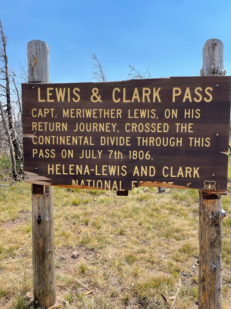
This section was hiked alone. I drove a rental car to Helena then hired a shuttle driver to deliver me to McDonald Pass. I arrived at the trail head late in the day around 7pm. It felt good to get a few miles in after the long drive. As soon as I was a couple of miles up the trail I saw a moose. We stared at each other as the trail circles around.
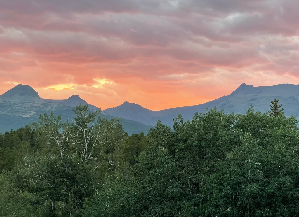
I hiked until dusk and set up camp before reaching the top of the mountain as lightning was starting to strike. Fortunately it did not rain long or hard. In the morning I crested the top just in time to enjoy the sunrise.
During lunch my tent parts were set out to dry in the wind. The ground sheet was the last to dry.
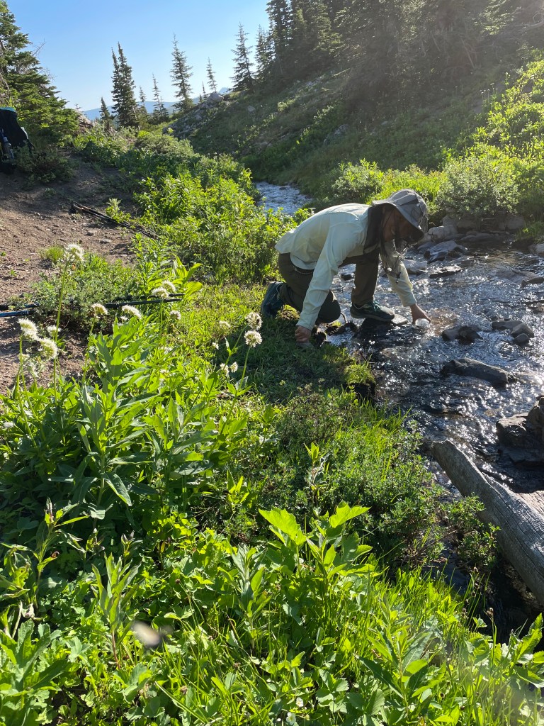
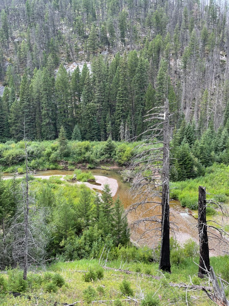
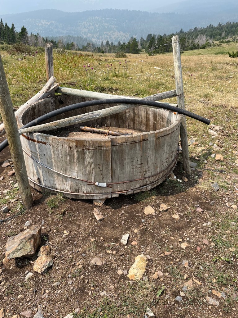
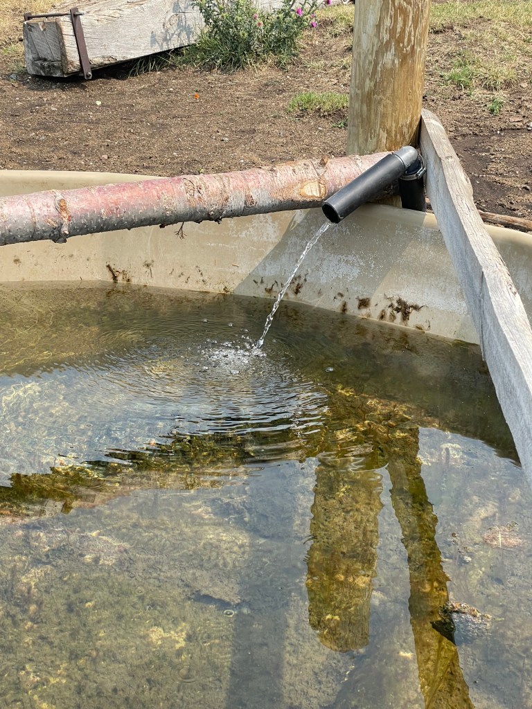
The first water on the trail was 20 miles in. This is what I saw first….
Luckily, this was not far away. Happily, I started yesterday with 4 liters of water because by the time I reached this point I was out of water and happy to see the spring feeding the trough.
The third night, I found a flat spot on the edge of a ridge. This is the sunrise in the morning.
Unfortunately, I ran into rain and thunder storms on the hike into Rogers Pass. It rained endlessly and topping mountain passes in the middle of lightening strikes was frightening. One strike started a forest fire not far from me. Sometimes I had to waited out the storms to continue onward. Soon after this photo was taken, I spent the night in a heavy storm. Luckily, I set up my tent and had just crawled in when the rain, thunder and lightening started up again. The storms seemed to roll in quickly in the early afternoon and then again in the evening.
Two thru hikers passed me on the trail, otherwise I saw no other hikers in the section.
I arrived at Rogers Pass early in the morning of August 6 and luckily was able to hitch a ride into Lincoln with a man parked at the trail head.
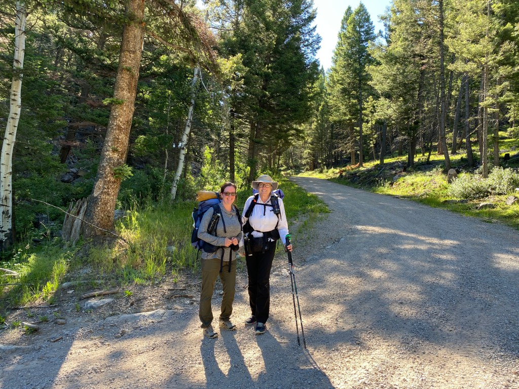
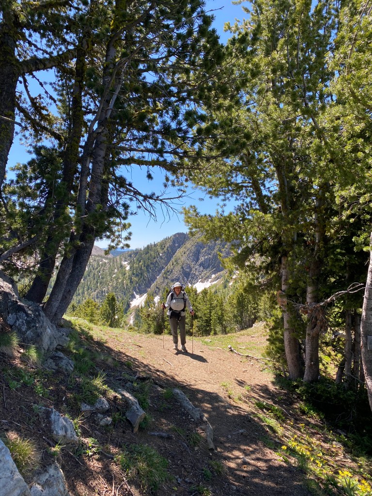
My grand-niece, Melissa, joined me for this section as she owns property near the trail and is interested in future trail maintenance for this section. This was Melissa’s first backpacking trip and she turned out to be a fantastic hiker and good trail company.
The first part of the trail was a bit of a road walk.
We ran into the herd of south bounders on this section. Since the Glacier National Park section of the CDT was closed the hikers had started their hikes at different locations and various methods. Some road walked in to Marias Pass. Others just started at Marias Pass on Hwy 2. It was a strung out group of about 9 hikers we crossed all in one day.
We experienced almost non-stop blowdown which made hiking miserable and dangerous. We pushed ourselves on the last day and arrived at McDonald Pass in the dark and camped in the campground by Highway 12. The next morning we hitched a ride into Helena and rented a car to drive home.
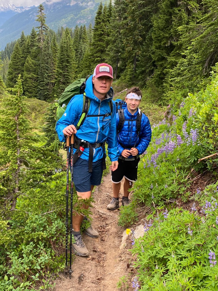
I was able to regroup and join Edward, my son-in-law, and Max, my grandson, August 1st for the Section K hike of the PCT from Stevens Pass to Rainy Pass. It was wonderful to re-hike this section in good weather as it had been raining most of the time on my thru hike.
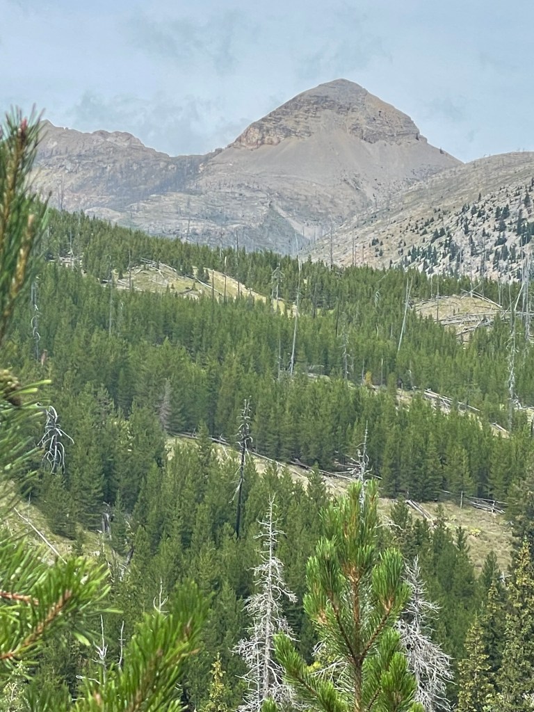
Leaving Darby we saw many people on mountain bikes on the trail the first day. This first day was relatively flat. The second day we ran into many miles of burn blowdown and ran into a young lady thru hiking nobo.
Rainbow Pass.
Morning view from our campground.
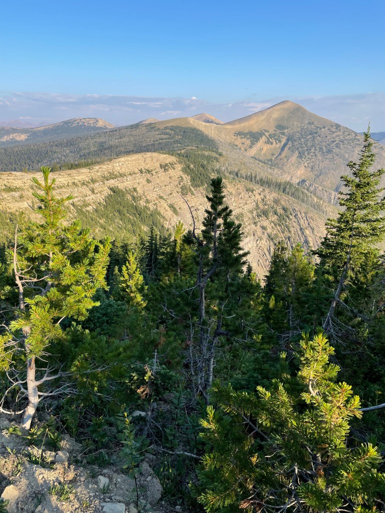
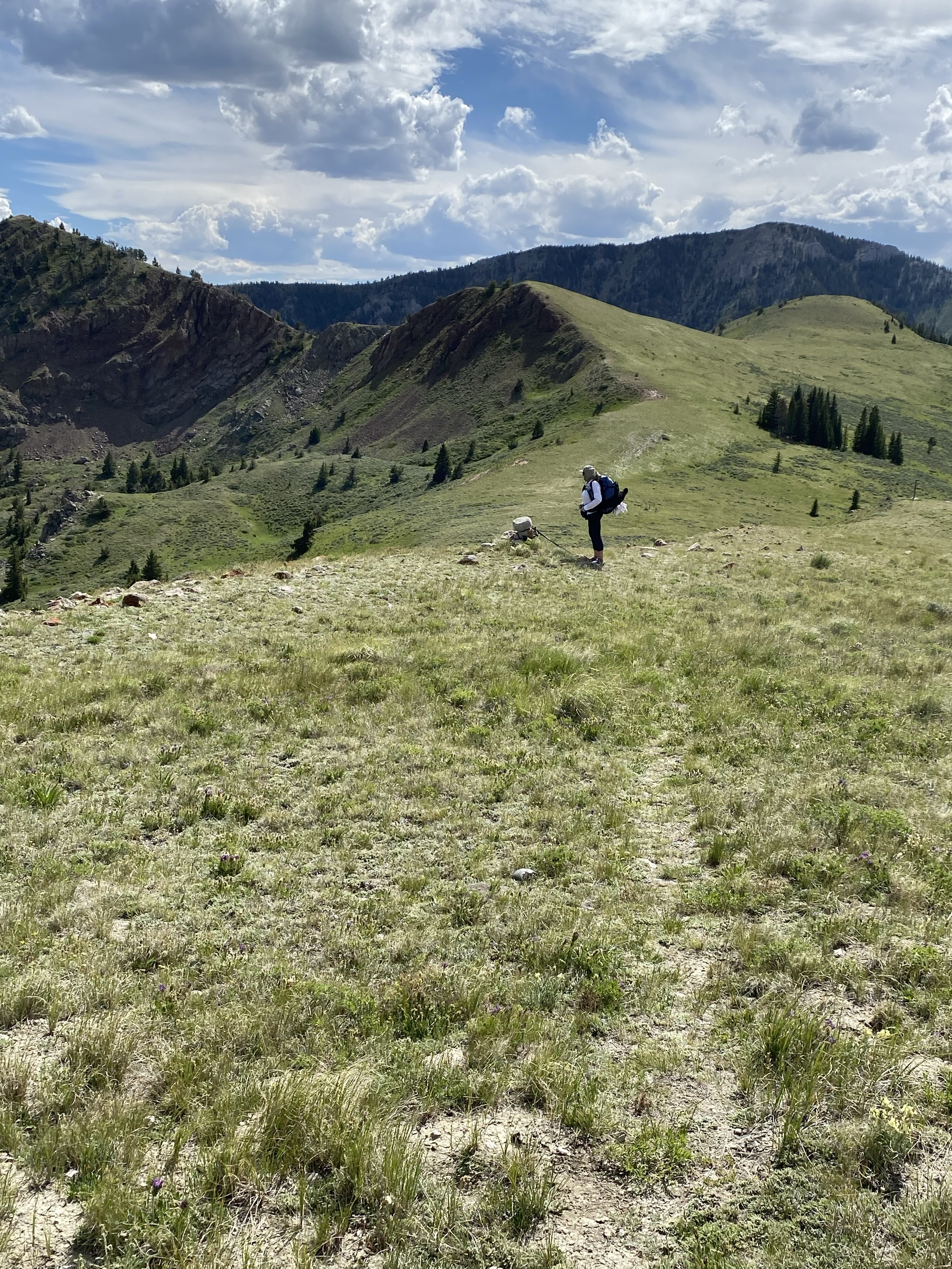
Hiking into Anaconda. The day before this photo was taken we hiked over three mountain passes over 9,000′ in one day.
After we arrived in Anaconda “the Plan” fell apart. I was informed by the person in charge of the CDT permits that Glacier National Park was not going to open the backcountry campgrounds on the entire West side of the park due to closures by the Blackfeet reservation to the East of the park. Not being able to hike through Glacier made Edward and Max decide to not travel to Montana to join me and we made plans to hike Section K of the PCT from Stevens Pass to Rainy Pass instead. Anna left the trail in Anaconda and I was joined by my niece, Melissa, who was planning to hike from Anaconda to Highway 12 with me.
It was evident during my second attempt to thru hike the CDT it would be impossible for me to be away from home for the length of time to finish the CDT in one long hike. Coming to terms with this disappointment led me to a lessor goal: finishing the CDT in sections. Also, after hiking with Ghost on the CDT, I did not like hiking alone. It is too easy to be misplaced on the CDT.
As the planning began for section hiking a part of the CDT during 2020, the pandemic hit. Because of travel restriction, I decided to focus on the Montana section of trail for easier access to the trail from my home via car. This is how the plan was set up:
The section between Highway 15 where the trail crosses south of Lima to Anaconda my younger sister Anna was planning to hike with me. From Anaconda to Helena (MacDonald Pass on Highway 12), my niece Melissa was planning to join me. I was planning to hike on alone to Lincoln where I was to be joined by my son-in-law, Edward and my grandson, Max. The three of us were going to hike from Roger Pass to the Canadian Border going three the Bob Marshall and Glacier Park. It was an excellent plan.
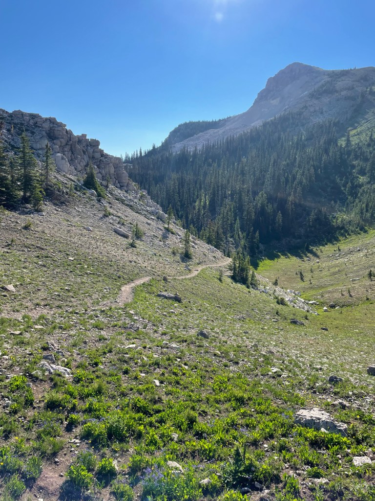
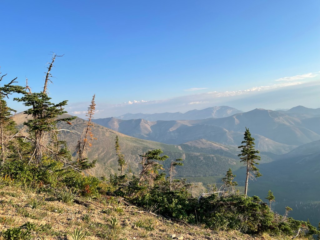
We stayed the night in Dillon, MT and Jim dropped us off on Hwy 15 south at about 9:00am in the morning. This hike along the border of Idaho and Montana is filled with what is known as “the needless up and downs” and it not particularly a notable section. But there is beauty the trail as one is able to see for miles.
On the first day it was a difficult day of trying to keep our footing along the edge of ridge line with no visible trail. Since the south bounders had not passed here and the north bounders had not arrived there was no visible trail. The first night we had trouble putting up our tents in sustained wind gust to on a grass ridge barren of trees or bushes to use as a wind break. Luckily the trail improved in scenic beauty after the first day.
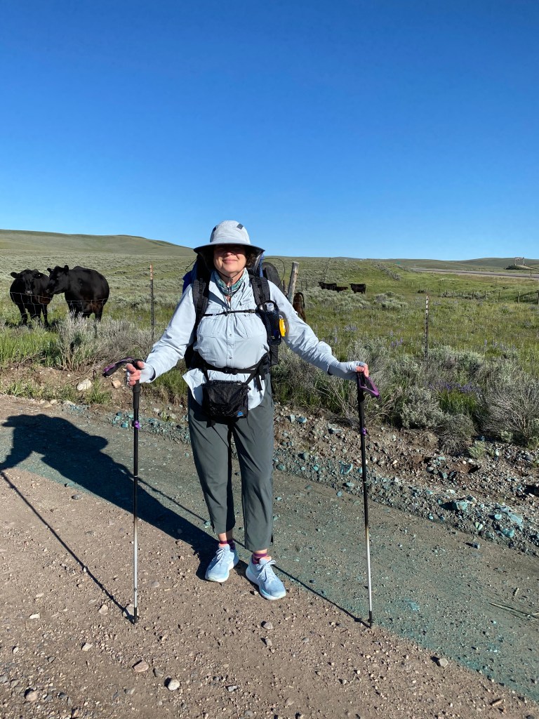
At our drop off Highway 15, 15 miles south of Lima. My younger sister, Anna.
Our matching tents.
Dinner break with Anna.
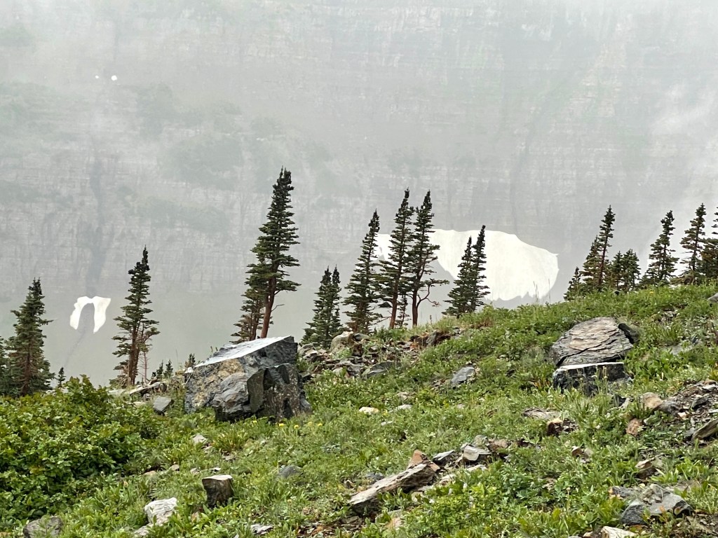
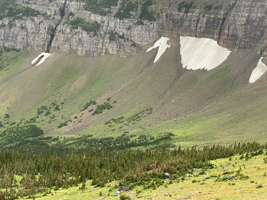
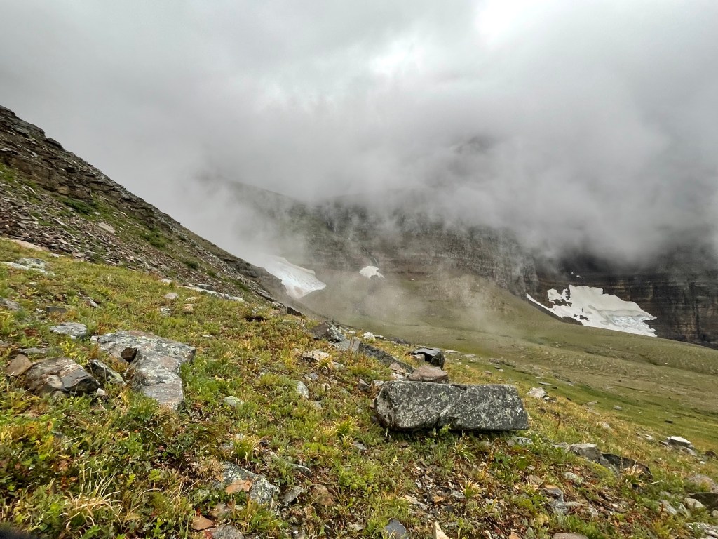
We saw snow on the edges of the ridges and sometimes on the trail.
We did not have rain. It was cold at night and in the mornings. There were no other hikers on the trail. We had Sam of the Leadore Inn pick us up for an overnight in Leadore. My sister was struggling with the hike and wanted to skip to Darby to avoid the ATV trails we encountered going into Leadore. I will need to return to hike this section from Leadore to Darby at a later date.
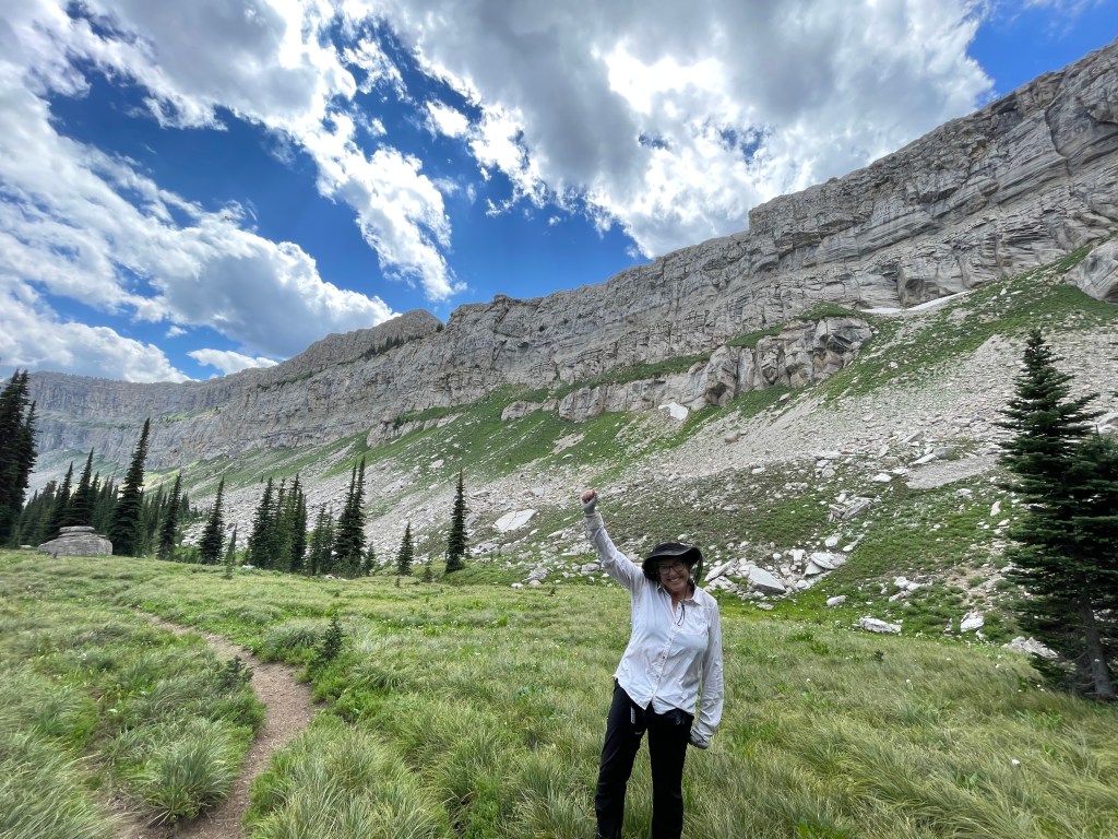
After completing sections of Colorado, I have decided to leave the CDT. This hike had been planned with Ghost as I did not wish to hike alone. After solo hiking the PCT, I never wanted to be alone for such an extended period of time again. As much as I did not like continuing alone, I really did not like hitching on the busy highways of Colorado alone.
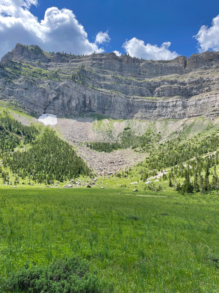
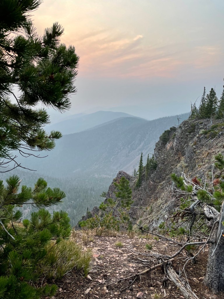
After the snowy San Juans, the trail (when it existed) was beautiful hiking. Colorado is a state of fantastic scenery and the CDT is on top.
I took a few photos on the first day climbing to 12,000′.
However by the second day I was too busy surviving to take photos. Photos of me postholing up to my thighs or with my head stuck in ice after falling forward losing my balance would be of no interest to anyone.
I am lucky to have not broken a leg.
One good note is I finally was able to glissade down a slope with my pack on.
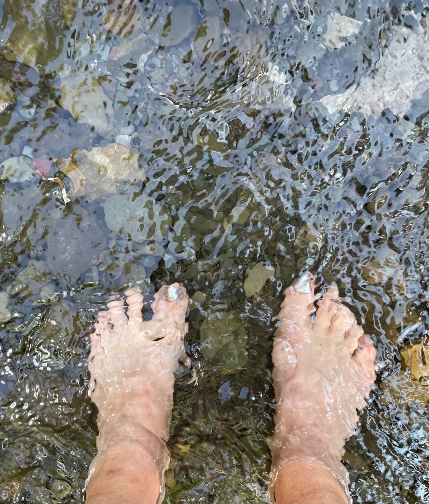
My feet were either in water or snow 99% of the time. I was saved by sealskin socks.
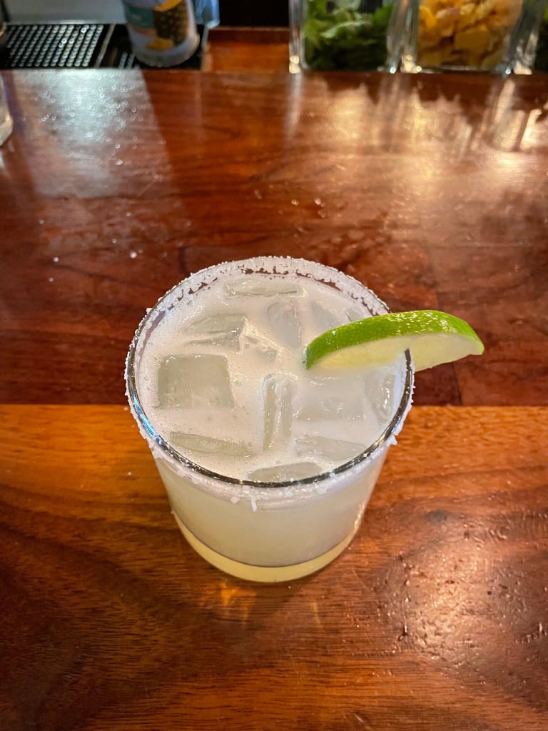
I am currently in Pagosa Springs trying to forget the trail. It may require a few margaritas.


 of Colorado, I have decided to leave the CDT. This hike had been planned with Ghost as I did not wish to hike alone. After solo hiking the PCT, I never wanted to be alone for such an extended period of time again. As much as I did not like continuing alone, I really did not like hitching on the busy highways of Colorado alone.